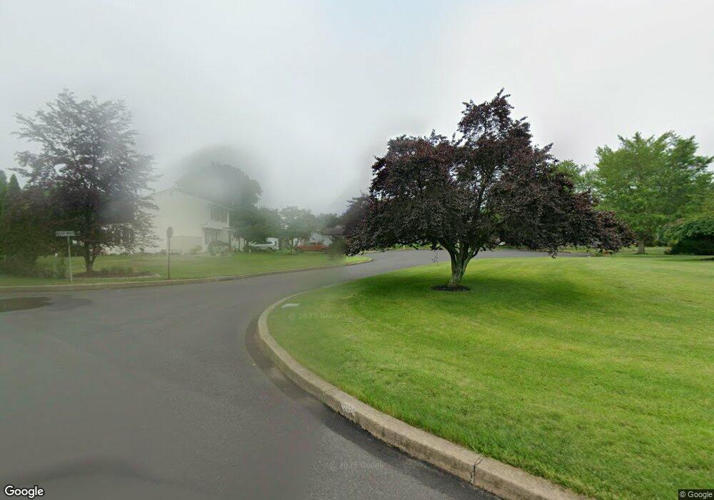
1825 Briarwood Cir Jamison, PA 18929
Estimated Value: $522,000 - $557,080
3
Beds
2
Baths
1,360
Sq Ft
$399/Sq Ft
Est. Value
About This Home
This home is located at 1825 Briarwood Cir, Jamison, PA 18929 and is currently estimated at $543,270, approximately $399 per square foot. 1825 Briarwood Cir is a home located in Bucks County with nearby schools including Jamison Elementary School, Tamanend Middle School, and Central Bucks High School - South.
Ownership History
Date
Name
Owned For
Owner Type
Purchase Details
Closed on
Dec 28, 1995
Sold by
Giroud Charles A and Giroud Beverley A
Bought by
Bender Sandra
Current Estimated Value
Home Financials for this Owner
Home Financials are based on the most recent Mortgage that was taken out on this home.
Original Mortgage
$80,000
Outstanding Balance
$2,163
Interest Rate
7.31%
Estimated Equity
$541,107
Purchase Details
Closed on
Jan 6, 1994
Sold by
Giroud Charles A and Giroud Beverley A
Bought by
Giroud Charles A and Giroud Beverley A
Home Financials for this Owner
Home Financials are based on the most recent Mortgage that was taken out on this home.
Original Mortgage
$127,800
Interest Rate
4.87%
Create a Home Valuation Report for This Property
The Home Valuation Report is an in-depth analysis detailing your home's value as well as a comparison with similar homes in the area
Home Values in the Area
Average Home Value in this Area
Purchase History
| Date | Buyer | Sale Price | Title Company |
|---|---|---|---|
| Bender Sandra | $140,000 | -- | |
| Giroud Charles A | -- | -- |
Source: Public Records
Mortgage History
| Date | Status | Borrower | Loan Amount |
|---|---|---|---|
| Open | Bender Sandra | $80,000 | |
| Previous Owner | Giroud Charles A | $127,800 |
Source: Public Records
Tax History Compared to Growth
Tax History
| Year | Tax Paid | Tax Assessment Tax Assessment Total Assessment is a certain percentage of the fair market value that is determined by local assessors to be the total taxable value of land and additions on the property. | Land | Improvement |
|---|---|---|---|---|
| 2025 | $5,612 | $32,240 | $9,280 | $22,960 |
| 2024 | $5,612 | $32,240 | $9,280 | $22,960 |
| 2023 | $5,434 | $32,240 | $9,280 | $22,960 |
| 2022 | $5,373 | $32,240 | $9,280 | $22,960 |
| 2021 | $5,313 | $32,240 | $9,280 | $22,960 |
| 2020 | $5,313 | $32,240 | $9,280 | $22,960 |
| 2019 | $5,281 | $32,240 | $9,280 | $22,960 |
| 2018 | $5,281 | $32,240 | $9,280 | $22,960 |
| 2017 | $5,241 | $32,240 | $9,280 | $22,960 |
| 2016 | -- | $32,240 | $9,280 | $22,960 |
| 2015 | -- | $32,240 | $9,280 | $22,960 |
| 2014 | -- | $32,240 | $9,280 | $22,960 |
Source: Public Records
Map
Nearby Homes
- 1877 Brook Ln
- 1620 Rockcress Dr
- 1618 Mayfield Cir
- 1403 E Fernbrook Dr
- 1447 Bentley Dr
- 1504 Springfield Ct Unit 37
- 2018 Buckingham Dr
- 1990 York Rd
- 2158 Green Ridge Dr
- Northbrook Plan at Jamison Place
- Westmont Plan at Jamison Place
- Faraday Plan at Jamison Place
- 2127 York Rd
- 1554 Park Dr
- Homesite 10103 Marquis Ln
- Homesite 102 Marquis Ln
- Homesite 10102 Marquis Ln
- Rollins Plan at Breton Hill
- Cloverfield Plan at Breton Hill
- Kingswood Plan at Breton Hill
- 1827 Briarwood Cir
- 1823 Briarwood Cir
- 1845 Cold Brook Ln
- 1841 Cold Brook Ln
- 1821 Briarwood Cir
- 1851 Cold Brook Ln
- 1819 Briarwood Cir
- 1820 Heritage Dr
- 1818 Heritage Dr
- 1822 Heritage Dr
- 1816 Heritage Dr
- 1857 Cold Brook Ln
- 1828 Sunrise Way
- 1842 Cold Brook Ln
- 1824 Heritage Dr
- 1838 Sunrise Way
- 1863 Cold Brook Ln
- 1831 Farmdale Rd
- 1803 Sunrise Way
- 1856 Cold Brook Ln