1825 Long Pointe Dr Unit Bldg-Unit Bloomfield Hills, MI 48302
Estimated Value: $1,064,172 - $1,200,000
4
Beds
4
Baths
2,585
Sq Ft
$437/Sq Ft
Est. Value
About This Home
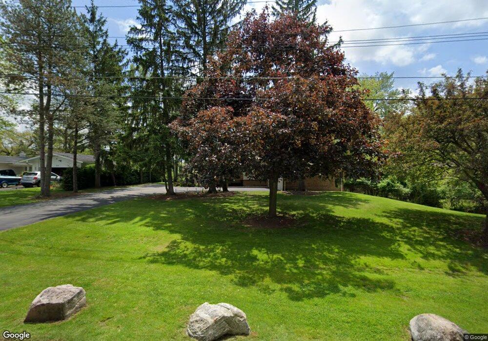
This home is located at 1825 Long Pointe Dr Unit Bldg-Unit, Bloomfield Hills, MI 48302 and is currently estimated at $1,129,543, approximately $436 per square foot. 1825 Long Pointe Dr Unit Bldg-Unit is a home located in Oakland County with nearby schools including Walt Whitman Elementary School, Pontiac Middle School, and Pontiac High School.
Ownership History
Date
Name
Owned For
Owner Type
Purchase Details
Closed on
Jun 10, 2014
Sold by
Roy Manjula N
Bought by
Friedman Eugene and Friedman Tamara
Current Estimated Value
Purchase Details
Closed on
Feb 9, 1998
Sold by
Roy Asou K
Bought by
Roy Manjula An
Create a Home Valuation Report for This Property
The Home Valuation Report is an in-depth analysis detailing your home's value as well as a comparison with similar homes in the area
Home Values in the Area
Average Home Value in this Area
Purchase History
| Date | Buyer | Sale Price | Title Company |
|---|---|---|---|
| Friedman Eugene | -- | Interstate Title Inc | |
| Roy Manjula An | -- | -- |
Source: Public Records
Tax History Compared to Growth
Tax History
| Year | Tax Paid | Tax Assessment Tax Assessment Total Assessment is a certain percentage of the fair market value that is determined by local assessors to be the total taxable value of land and additions on the property. | Land | Improvement |
|---|---|---|---|---|
| 2024 | $15,400 | $465,730 | $0 | $0 |
| 2023 | $14,680 | $429,920 | $0 | $0 |
| 2022 | $19,430 | $414,580 | $0 | $0 |
| 2021 | $18,919 | $410,460 | $0 | $0 |
| 2020 | $13,430 | $402,010 | $0 | $0 |
| 2019 | $18,672 | $390,780 | $0 | $0 |
| 2018 | $18,199 | $382,470 | $0 | $0 |
| 2017 | $17,791 | $373,050 | $0 | $0 |
| 2016 | $17,730 | $356,880 | $0 | $0 |
| 2015 | -- | $345,830 | $0 | $0 |
| 2014 | -- | $311,050 | $0 | $0 |
| 2011 | -- | $255,410 | $0 | $0 |
Source: Public Records
Map
Nearby Homes
- 1831 Long Pointe Dr
- 2779 Turtle Lake Dr
- 2759 Turtle Ridge Dr
- 2785 Turtle Lake Dr
- 1772 Heron Ridge Dr
- 2707 Turtle Lake Dr
- 2121 Uplong St
- 1744 Heron Ridge Dr
- 2756 Turtle Bluff Dr
- 1735 Heron Ridge Dr
- 1729 Heron Ridge Dr
- 1723 Heron Ridge Dr
- 2717 Turtle Shores Dr
- 2717 Turtle Shores Ranch Dr
- 2670 Turtle Lake Dr
- 2630 Turtle Lake Dr
- 2623 Turtle Shores
- 2657 Turtle Shores Dr
- 1853 W Bend Dr
- 2954 Long Ridge Ct
- 1825 Long Pointe Dr
- 1819 Long Pointe Dr
- 1813 Long Pointe Dr Unit Bldg-Unit
- 1813 Long Pointe Dr
- 1837 Long Pointe Dr
- 1820 Long Pointe Dr
- 1830 Long Pointe Dr
- 1807 Long Pointe Dr
- 1843 Long Pointe Dr
- 1810 Long Pointe Dr
- 1840 Long Pointe Dr
- 1849 Long Pointe Dr
- 1802 Long Pointe Dr
- 2681 Mcclintock Rd Unit Bldg-Unit
- 2681 Mcclintock Rd
- 1904 Long Pointe Dr
- 1847 Packer Rd
- 1855 Long Pointe Dr
- 2767 Turtle Lake Dr
- 2680 Mcclintock Rd