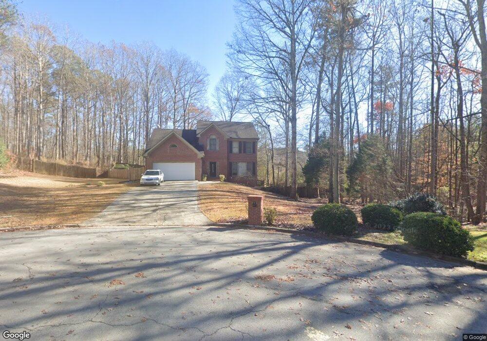
1825 Oak Wind Ln NE Buford, GA 30519
Estimated Value: $410,000 - $460,503
About This Home
This home is located at 1825 Oak Wind Ln NE, Buford, GA 30519 and is currently estimated at $443,126, approximately $149 per square foot. 1825 Oak Wind Ln NE is a home located in Gwinnett County with nearby schools including Fort Daniel Elementary School, Frank N. Osborne Middle School, and Mill Creek High School.
Ownership History
We collect this data history from publicly available records. To have your information removed, we recommend requesting removal directly through your county’s website.
Purchase Details
Home Financials for this Owner
Home Financials are based on the most recent Mortgage that was taken out on this home.Purchase Details
Home Financials for this Owner
Home Financials are based on the most recent Mortgage that was taken out on this home.Purchase Details
Home Financials for this Owner
Home Financials are based on the most recent Mortgage that was taken out on this home.Purchase Details
Home Values in the Area
Average Home Value in this Area
Purchase History
We collect this data history from publicly available records. To have your information removed, we recommend requesting removal directly through your county’s website.
| Date | Buyer | Sale Price | Title Company |
|---|---|---|---|
| -- | -- | ||
| $385,000 | -- | ||
| -- | -- | ||
| -- | -- | ||
| $163,000 | -- |
Mortgage History
We collect this data history from publicly available records. To have your information removed, we recommend requesting removal directly through your county’s website.
| Date | Status | Borrower | Loan Amount |
|---|---|---|---|
| Open | $288,750 | ||
| Previous Owner | $211,400 | ||
| Previous Owner | $167,600 | ||
| Closed | $0 |
Tax History
We collect this data history from publicly available records. To have your information removed, we recommend requesting removal directly through your county’s website.
| Year | Tax Paid | Tax Assessment Tax Assessment Total Assessment is a certain percentage of the fair market value that is determined by local assessors to be the total taxable value of land and additions on the property. | Land | Improvement |
|---|---|---|---|---|
| 2025 | $6,012 | $180,240 | $44,000 | $136,240 |
| 2024 | $5,912 | $171,360 | $29,600 | $141,760 |
| 2023 | $5,912 | $154,000 | $29,600 | $124,400 |
| 2022 | $4,088 | $138,680 | $29,600 | $109,080 |
| 2021 | $3,368 | $101,520 | $20,080 | $81,440 |
| 2020 | $3,143 | $90,080 | $20,080 | $70,000 |
| 2019 | $2,997 | $87,720 | $18,000 | $69,720 |
| 2018 | $2,998 | $87,720 | $18,000 | $69,720 |
| 2016 | $2,362 | $63,920 | $11,600 | $52,320 |
| 2015 | $2,385 | $63,920 | $11,600 | $52,320 |
| 2014 | -- | $63,920 | $11,600 | $52,320 |
Map
- 2703 Bloom Cir
- 0 Hog Mountain Church Road and Auburn Rd
- 2586 Betty Sue Dr
- 2504 Braselton Hwy
- 1994 Pierce Way
- 1608 School House Run
- 2562 Wild Heron Ct
- 1742 Laurel Song Trail Unit 1
- 1798 Scouts Walk
- 2895 Daniel Park Run
- 1958 Mapmaker Dr
- 1815 Ashton Brooke Ln
- 1965 William Glen St
- 1955 William Glenn St
- 2486 Hampton Park Dr
- 2724 Amber Springs Way
- 1924 William Glen St
- 2716 Rylee Carter St
- 2706 Rylee Carter St
- 2726 Rylee Carter St
- 1825 Oak Wind Ln
- 1835 Oak Wind Ln Unit 1
- 1820 Oak Wind Ln
- 1820 Oak Wind Ln NE
- 1845 Oak Wind Ln
- 1830 Oak Wind Ln
- 1850 Oak Wind Ln
- 1850 Oak Wind Ln NE
- 1855 Oak Wind Ln
- 1860 Oak Wind Ln
- 2823 Bloom Cir
- 2833 Bloom Cir
- 2803 Bloom Cir
- 2833 Bloom Cir
- 2843 Bloom Cir
- 1875 Oak Wind Ln
- 1875 Oak Wind Ln NE
- 2783 Bloom Cir
- 1870 Oak Wind Ln NE
- 1870 Oak Wind Ln
Ask me questions while you tour the home.