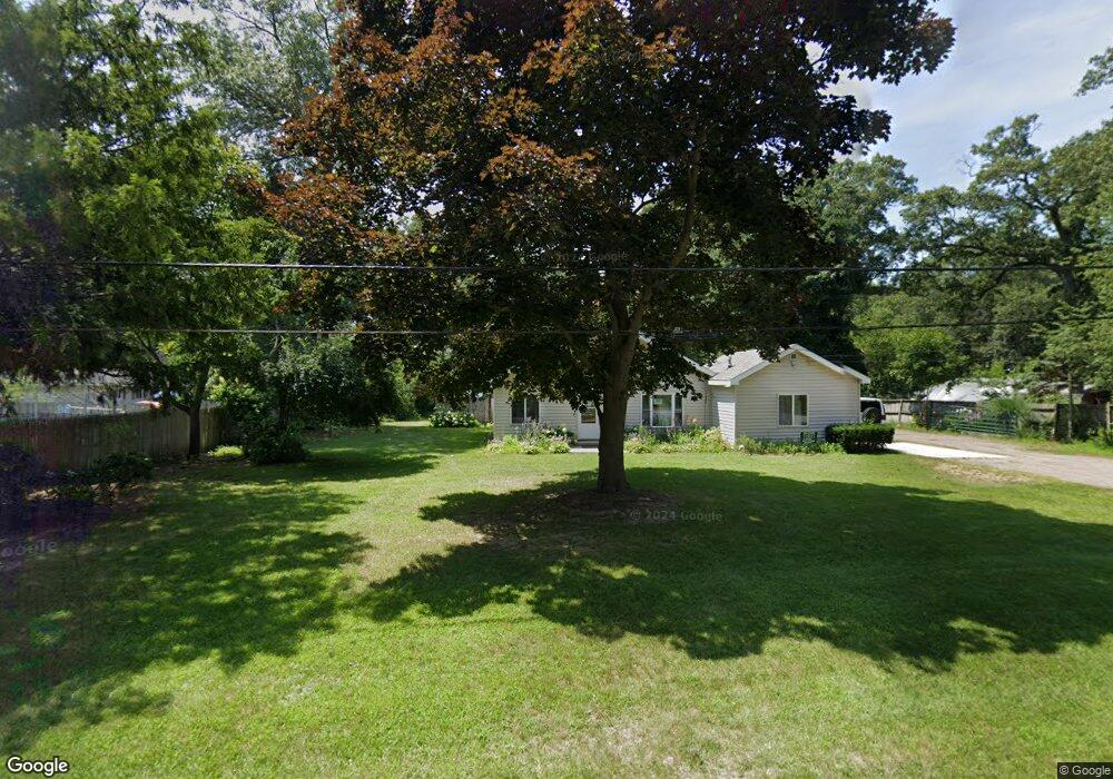
1825 Pappas Rd Muskegon, MI 49445
Estimated Value: $178,000 - $202,000
2
Beds
1
Bath
1,305
Sq Ft
$146/Sq Ft
Est. Value
About This Home
This home is located at 1825 Pappas Rd, Muskegon, MI 49445 and is currently estimated at $191,159, approximately $146 per square foot. 1825 Pappas Rd is a home located in Muskegon County with nearby schools including Reeths-Puffer High School.
Ownership History
Date
Name
Owned For
Owner Type
Purchase Details
Closed on
Oct 10, 2023
Sold by
Walsworth Michael J
Bought by
Walsworth Krinn C
Current Estimated Value
Purchase Details
Closed on
Oct 12, 2010
Sold by
Wells Fargo Bank Na
Bought by
The Secretary Of Housing & Urban Develop
Purchase Details
Closed on
Apr 9, 2010
Sold by
Gee William A and Gee Candy J
Bought by
Wells Fargo Bank Na
Purchase Details
Closed on
Nov 19, 2004
Sold by
Palencar Andrew F and Palencar Anna
Bought by
Gee William A and Gee Candy J
Home Financials for this Owner
Home Financials are based on the most recent Mortgage that was taken out on this home.
Original Mortgage
$90,286
Interest Rate
5.82%
Mortgage Type
FHA
Create a Home Valuation Report for This Property
The Home Valuation Report is an in-depth analysis detailing your home's value as well as a comparison with similar homes in the area
Home Values in the Area
Average Home Value in this Area
Purchase History
| Date | Buyer | Sale Price | Title Company |
|---|---|---|---|
| Walsworth Krinn C | -- | None Listed On Document | |
| The Secretary Of Housing & Urban Develop | -- | Rei | |
| Wells Fargo Bank Na | $95,182 | None Available | |
| Gee William A | -- | -- |
Source: Public Records
Mortgage History
| Date | Status | Borrower | Loan Amount |
|---|---|---|---|
| Previous Owner | Gee William A | $90,286 |
Source: Public Records
Tax History Compared to Growth
Tax History
| Year | Tax Paid | Tax Assessment Tax Assessment Total Assessment is a certain percentage of the fair market value that is determined by local assessors to be the total taxable value of land and additions on the property. | Land | Improvement |
|---|---|---|---|---|
| 2025 | $1,013 | $74,900 | $0 | $0 |
| 2024 | $303 | $68,800 | $0 | $0 |
| 2023 | $290 | $57,300 | $0 | $0 |
| 2022 | $925 | $46,000 | $0 | $0 |
| 2021 | $901 | $40,000 | $0 | $0 |
| 2020 | $892 | $37,900 | $0 | $0 |
| 2019 | $879 | $32,000 | $0 | $0 |
| 2018 | $863 | $27,400 | $0 | $0 |
| 2017 | $859 | $26,100 | $0 | $0 |
| 2016 | $247 | $23,200 | $0 | $0 |
| 2015 | -- | $21,200 | $0 | $0 |
| 2014 | -- | $21,400 | $0 | $0 |
| 2013 | -- | $20,700 | $0 | $0 |
Source: Public Records
Map
Nearby Homes
- 2060 N Roberts Rd
- 0 N Getty St
- 764 E Giles Rd
- 787 E Giles Rd
- 2021 Queens Ct
- 1925 Shady Oak Dr
- 1353 Holton Rd
- 0 Holton Vl Rd Unit 20027438
- V/L Reed Ave
- 1850 Mildred St
- 129 Maple Ct
- 2026 N Port Blvd
- 1699 Sycamore Dr
- 1960 Nielwood Dr
- 2051 Russell Rd
- V/L Holton Rd
- 2400 Russell Rd
- 2624 Holton Rd
- 2551 Hiawatha Trail
- 0 E Mcmillan Rd