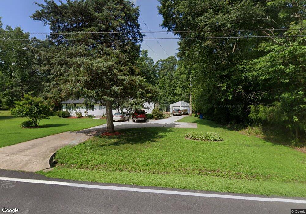
1825 Port Tobacco Rd Nanjemoy, MD 20662
Nanjemoy NeighborhoodEstimated Value: $264,438 - $462,000
--
Bed
1
Bath
1,776
Sq Ft
$191/Sq Ft
Est. Value
About This Home
This home is located at 1825 Port Tobacco Rd, Nanjemoy, MD 20662 and is currently estimated at $339,610, approximately $191 per square foot. 1825 Port Tobacco Rd is a home located in Charles County with nearby schools including Mt. Hope/Nanjemoy Elementary School, General Smallwood Middle School, and Henry E. Lackey High School.
Ownership History
Date
Name
Owned For
Owner Type
Purchase Details
Closed on
Mar 28, 1996
Sold by
Cobey Charles Alton
Bought by
Cobey Charles A and Cobey Sadie A
Current Estimated Value
Purchase Details
Closed on
Jan 13, 1984
Sold by
Price Carl E and Price Patricia A
Bought by
Cobey Charles Alton
Home Financials for this Owner
Home Financials are based on the most recent Mortgage that was taken out on this home.
Original Mortgage
$46,500
Interest Rate
13.4%
Create a Home Valuation Report for This Property
The Home Valuation Report is an in-depth analysis detailing your home's value as well as a comparison with similar homes in the area
Home Values in the Area
Average Home Value in this Area
Purchase History
| Date | Buyer | Sale Price | Title Company |
|---|---|---|---|
| Cobey Charles A | -- | -- | |
| Cobey Charles Alton | $46,500 | -- |
Source: Public Records
Mortgage History
| Date | Status | Borrower | Loan Amount |
|---|---|---|---|
| Previous Owner | Cobey Charles Alton | $46,500 |
Source: Public Records
Tax History Compared to Growth
Tax History
| Year | Tax Paid | Tax Assessment Tax Assessment Total Assessment is a certain percentage of the fair market value that is determined by local assessors to be the total taxable value of land and additions on the property. | Land | Improvement |
|---|---|---|---|---|
| 2025 | -- | $232,200 | $91,100 | $141,100 |
| 2024 | $3,335 | $224,233 | $0 | $0 |
| 2023 | $3,090 | $216,267 | $0 | $0 |
| 2022 | $3,070 | $208,300 | $76,100 | $132,200 |
| 2021 | $2,678 | $195,533 | $0 | $0 |
| 2020 | $2,678 | $182,767 | $0 | $0 |
| 2019 | $2,503 | $170,000 | $76,100 | $93,900 |
| 2018 | $2,439 | $168,067 | $0 | $0 |
| 2017 | $2,406 | $166,133 | $0 | $0 |
| 2016 | -- | $164,200 | $0 | $0 |
| 2015 | $1,834 | $164,200 | $0 | $0 |
| 2014 | $1,834 | $164,200 | $0 | $0 |
Source: Public Records
Map
Nearby Homes
- 11330 Holly Springs Rd
- 11851 Woodbury Rd
- 11980 Woodbury Rd
- 0 Riverside Dr Unit MDCH2038170
- 3315 Naomi Place
- 3255 Naomi Place
- 11550 Maryland Point Rd
- 0 Shore Place
- 3990 Port Tobacco Rd
- 2810 Stone Valley Place
- 2815 Stone Valley Place
- 4105 Hojack Place
- 4103 Port Tobacco Rd
- 9290 Gunston Rd
- 2255 Smith Point Rd
- 13467 Ellis Way
- 9290 Beaverdam Rd
- 14851 Azurite Dr
- 8798 Gunston Rd
- 13328 Granview Rd
- 1820 Port Tobacco Rd
- 1790 Port Tobacco Rd
- 1805 Port Tobacco Rd
- 1784 Port Tobacco Rd
- 1835 Port Tobacco Rd
- 1795 Port Tobacco Rd
- 1860 Port Tobacco Rd
- 1778 Port Tobacco Rd
- 1770 Port Tobacco Rd
- 11145 Spike Virginia Place
- 1765 Port Tobacco Rd
- 1755 Port Tobacco Rd
- 1750 Port Tobacco Rd
- 1870 Port Tobacco Rd
- 1905 Port Tobacco Rd
- 1920 Port Tobacco Rd
- 1960 Port Tobacco Rd
- 1970 Port Tobacco Rd
- 1665 Port Tobacco Rd
- 9999 Port Tabaco Rd