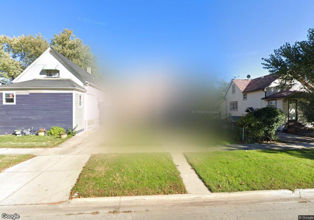
1825 S 19th Ave Maywood, IL 60153
South Maywood NeighborhoodEstimated Value: $262,000 - $298,000
4
Beds
2
Baths
1,439
Sq Ft
$190/Sq Ft
Est. Value
About This Home
This home is located at 1825 S 19th Ave, Maywood, IL 60153 and is currently estimated at $274,108, approximately $190 per square foot. 1825 S 19th Ave is a home located in Cook County with nearby schools including Roosevelt Elementary School, Irving Middle School, and Proviso East High School.
Ownership History
Date
Name
Owned For
Owner Type
Purchase Details
Closed on
Nov 24, 2003
Sold by
Mims Maurice
Bought by
Ward Altrice
Current Estimated Value
Purchase Details
Closed on
May 16, 2002
Sold by
Dixon Edna P
Bought by
Mims Maurice
Home Financials for this Owner
Home Financials are based on the most recent Mortgage that was taken out on this home.
Original Mortgage
$119,850
Interest Rate
8.5%
Purchase Details
Closed on
Jul 12, 1999
Sold by
Dixon Willie C
Bought by
Dixon Edna P
Home Financials for this Owner
Home Financials are based on the most recent Mortgage that was taken out on this home.
Original Mortgage
$98,400
Interest Rate
9.99%
Create a Home Valuation Report for This Property
The Home Valuation Report is an in-depth analysis detailing your home's value as well as a comparison with similar homes in the area
Home Values in the Area
Average Home Value in this Area
Purchase History
| Date | Buyer | Sale Price | Title Company |
|---|---|---|---|
| Ward Altrice | -- | Title Professionals Amer Inc | |
| Mims Maurice | $141,500 | Chicago Title Insurance Co | |
| Dixon Edna P | -- | Residential Title Services |
Source: Public Records
Mortgage History
| Date | Status | Borrower | Loan Amount |
|---|---|---|---|
| Previous Owner | Mims Maurice | $119,850 | |
| Previous Owner | Dixon Edna P | $98,400 | |
| Closed | Mims Maurice | $21,150 |
Source: Public Records
Tax History Compared to Growth
Tax History
| Year | Tax Paid | Tax Assessment Tax Assessment Total Assessment is a certain percentage of the fair market value that is determined by local assessors to be the total taxable value of land and additions on the property. | Land | Improvement |
|---|---|---|---|---|
| 2024 | $2,082 | $21,000 | $3,216 | $17,784 |
| 2023 | $2,807 | $21,000 | $3,216 | $17,784 |
| 2022 | $2,807 | $16,683 | $2,546 | $14,137 |
| 2021 | $2,745 | $16,682 | $2,546 | $14,136 |
| 2020 | $2,493 | $16,682 | $2,546 | $14,136 |
| 2019 | $3,159 | $13,920 | $2,278 | $11,642 |
| 2018 | $3,079 | $13,920 | $2,278 | $11,642 |
| 2017 | $6,264 | $13,920 | $2,278 | $11,642 |
| 2016 | $5,667 | $11,622 | $2,010 | $9,612 |
| 2015 | $5,209 | $11,622 | $2,010 | $9,612 |
| 2014 | $4,793 | $11,622 | $2,010 | $9,612 |
| 2013 | $5,333 | $13,654 | $2,010 | $11,644 |
Source: Public Records
Map
Nearby Homes
- 1909 S 20th Ave
- 1926 S 19th Ave
- 1927 S 17th Ave
- 1924 S 16th Ave
- 1911 S 22nd Ave
- 2003 S 18th Ave
- 1910 S 22nd Ave
- 1605 S 16th Ave
- 2010 S 16th Ave
- 1416 S 17th Ave
- 1420 S 21st Ave
- 1400 S 17th Ave
- 1627 S 14th Ave
- 1107 24th Ave
- 2036 S 15th Ave
- 1607 S 14th Ave
- 1910 S 24th Ave
- 1231 S 20th Ave
- 2003 S 24th Ave
- 2011 S 25th Ave
- 1823 S 19th Ave
- 1827 S 19th Ave
- 1821 S 19th Ave
- 1833 S 19th Ave
- 1824 S 18th Ave
- 1822 S 18th Ave
- 1828 S 18th Ave
- 1835 S 19th Ave
- 1832 S 18th Ave
- 1822 S 19th Ave
- 1837 S 19th Ave
- 1824 S 19th Ave
- 1820 S 19th Ave
- 1834 S 18th Ave
- 1826 S 19th Ave
- 1818 S 19th Ave
- 1816 S 19th Ave
- 1834 S 19th Ave
- 1836 S 19th Ave
- 1838 S 19th Ave