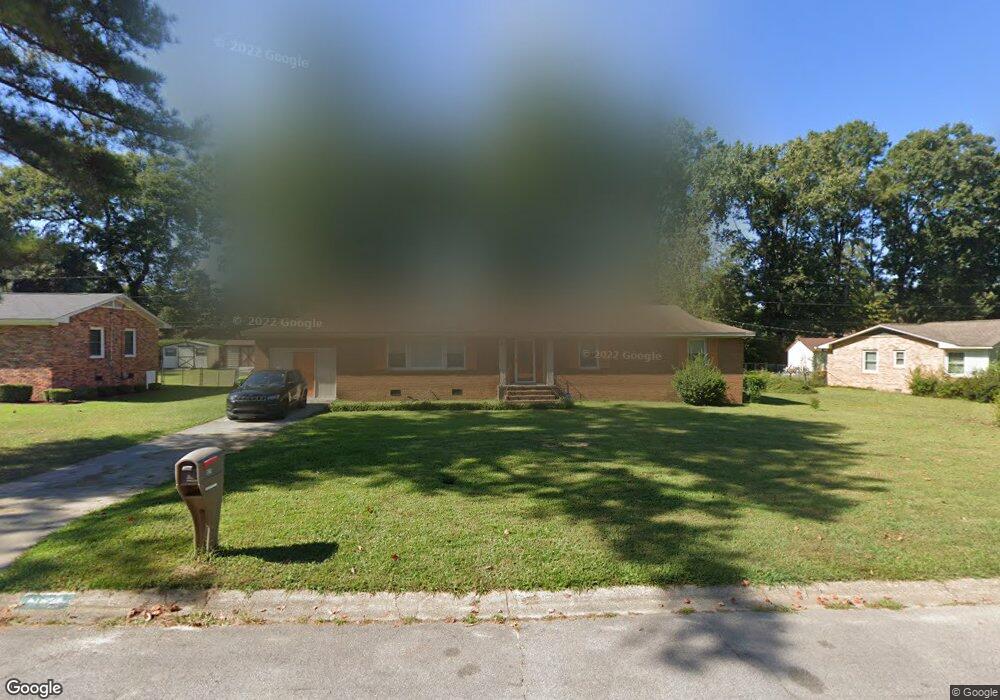
1825 Sapling Dr Columbia, SC 29210
Saint Andrews NeighborhoodEstimated Value: $174,000 - $192,279
3
Beds
2
Baths
1,410
Sq Ft
$131/Sq Ft
Est. Value
About This Home
This home is located at 1825 Sapling Dr, Columbia, SC 29210 and is currently estimated at $184,820, approximately $131 per square foot. 1825 Sapling Dr is a home located in Richland County with nearby schools including H. B. Rhame Elementary School, St. Andrews Middle School, and Columbia High School.
Ownership History
Date
Name
Owned For
Owner Type
Purchase Details
Closed on
Oct 30, 2024
Sold by
Martin Kristen Irene and Demary Kristen Irene
Bought by
Doering Darla Gay and Lett Millard
Current Estimated Value
Purchase Details
Closed on
Jun 4, 2013
Sold by
Martin Cecelia J
Bought by
Martin Kristen Irene
Purchase Details
Closed on
Aug 1, 2012
Sold by
Dockery Steven Wayne and Dockery James David
Bought by
Martin Cecilia J
Purchase Details
Closed on
Mar 19, 2010
Sold by
Estate Of Barbara King Robertson
Bought by
Dockery Steven Wayne and Dockery James David
Create a Home Valuation Report for This Property
The Home Valuation Report is an in-depth analysis detailing your home's value as well as a comparison with similar homes in the area
Home Values in the Area
Average Home Value in this Area
Purchase History
| Date | Buyer | Sale Price | Title Company |
|---|---|---|---|
| Doering Darla Gay | $180,000 | None Listed On Document | |
| Doering Darla Gay | $180,000 | None Listed On Document | |
| Martin Kristen Irene | -- | None Available | |
| Martin Cecilia J | $40,000 | None Available | |
| Dockery Steven Wayne | -- | None Available | |
| Dockery Steven Wayne | -- | -- |
Source: Public Records
Tax History
| Year | Tax Paid | Tax Assessment Tax Assessment Total Assessment is a certain percentage of the fair market value that is determined by local assessors to be the total taxable value of land and additions on the property. | Land | Improvement |
|---|---|---|---|---|
| 2024 | $5,069 | $91,900 | $0 | $0 |
| 2023 | $2,712 | $3,196 | $0 | $0 |
| 2022 | $2,485 | $79,900 | $9,200 | $70,700 |
| 2021 | $866 | $3,200 | $0 | $0 |
| 2020 | $878 | $3,200 | $0 | $0 |
| 2019 | $848 | $3,200 | $0 | $0 |
| 2018 | $788 | $3,000 | $0 | $0 |
| 2017 | $773 | $3,000 | $0 | $0 |
| 2016 | $771 | $3,000 | $0 | $0 |
| 2015 | $752 | $3,000 | $0 | $0 |
| 2014 | $733 | $75,000 | $0 | $0 |
| 2013 | -- | $3,000 | $0 | $0 |
Source: Public Records
Map
Nearby Homes
- 2103 Marley Dr
- 528 Wimbledon Ct
- 1913 Grays Inn Rd
- 1908 Grays Inn Rd
- 6 Woodtrail Ct
- 0 Marley Dr Unit 623584
- 1613 Ashford Ln
- 1917 Kathleen Dr
- 1540 Romain Dr
- 1727 Omarest Dr
- 2341 Rolling Hills Rd
- 1924 Koulter Dr
- 1650 Omarest Dr
- 2309 Hillbeck Dr
- 1725 Kathleen Dr Unit A&B
- 2135 Rolling Hills Rd
- 1533 Westchester Dr
- 1707 Carl Rd
- 112 Gateway Ln
- 1900 Rolling Hills Rd
- 1829 Sapling Dr
- 2122 Woodtrail Dr
- 1821 Sapling Dr
- 2126 Woodtrail Dr
- 2118 Woodtrail Dr
- 1824 Sapling Dr
- 1828 Sapling Dr
- 1820 Sapling Dr
- 1817 Sapling Dr
- 2114 Woodtrail Dr
- 1832 Sapling Dr
- 2130 Woodtrail Dr
- 0 Elise Dr
- 1816 Sapling Dr
- 2110 Woodtrail Dr
- 1903 Elise Dr
- 1813 Sapling Dr
- S/S Elise Dr
- N/S Elise Dr
- 2121 Woodtrail Dr
Your Personal Tour Guide
Ask me questions while you tour the home.