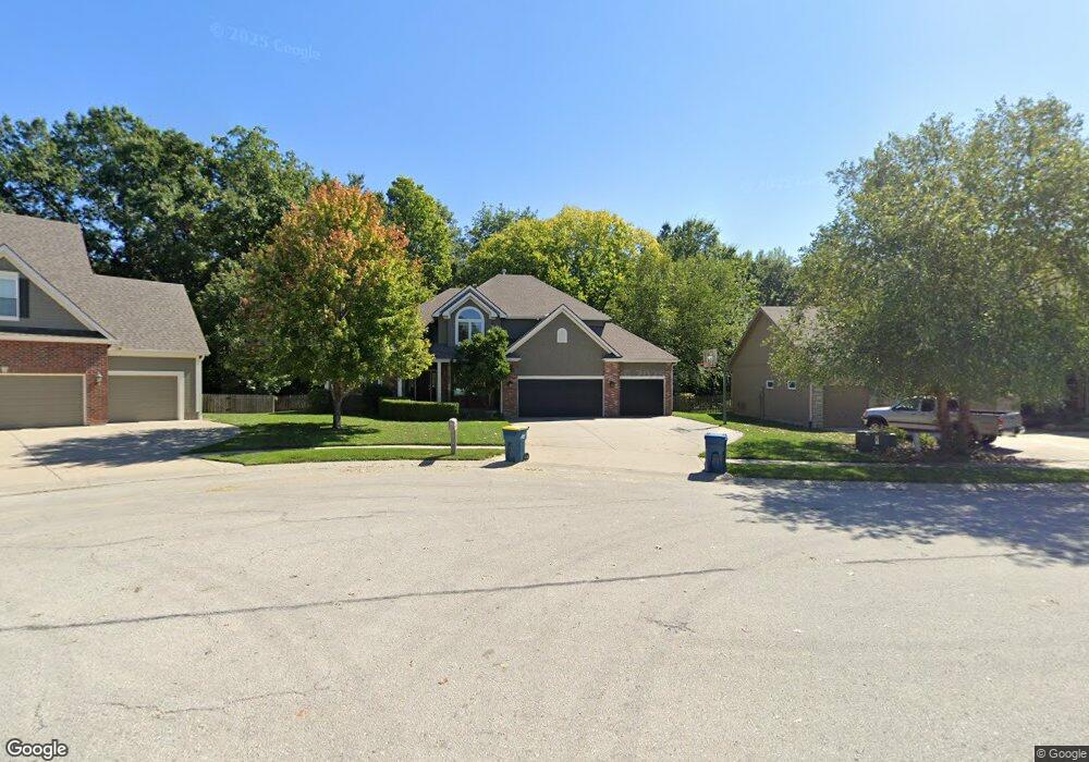
1825 Surrey St Liberty, MO 64068
Estimated Value: $489,000 - $621,000
4
Beds
4
Baths
2,574
Sq Ft
$206/Sq Ft
Est. Value
About This Home
This home is located at 1825 Surrey St, Liberty, MO 64068 and is currently estimated at $529,523, approximately $205 per square foot. 1825 Surrey St is a home located in Clay County with nearby schools including Alexander Doniphan Elementary School, Liberty Middle School, and Liberty High School.
Ownership History
Date
Name
Owned For
Owner Type
Purchase Details
Closed on
Jul 2, 2010
Sold by
Little Bryan M
Bought by
Minette Vincent T and Minette Kelly A
Current Estimated Value
Home Financials for this Owner
Home Financials are based on the most recent Mortgage that was taken out on this home.
Original Mortgage
$208,000
Interest Rate
4.73%
Mortgage Type
New Conventional
Purchase Details
Closed on
Jan 31, 2006
Sold by
Hearthside Homes Of Kansas City Inc
Bought by
Little Bryan M and Little Robin M
Home Financials for this Owner
Home Financials are based on the most recent Mortgage that was taken out on this home.
Original Mortgage
$303,641
Interest Rate
6.18%
Mortgage Type
VA
Purchase Details
Closed on
Feb 2, 2005
Sold by
South Liberty Development Llc
Bought by
Hearthside Homes Of Kansas City Inc
Create a Home Valuation Report for This Property
The Home Valuation Report is an in-depth analysis detailing your home's value as well as a comparison with similar homes in the area
Home Values in the Area
Average Home Value in this Area
Purchase History
| Date | Buyer | Sale Price | Title Company |
|---|---|---|---|
| Minette Vincent T | -- | Chicago | |
| Minette Vincent T | -- | Chicago | |
| Little Bryan M | -- | United Title Company Inc | |
| Hearthside Homes Of Kansas City Inc | -- | Source One Title |
Source: Public Records
Mortgage History
| Date | Status | Borrower | Loan Amount |
|---|---|---|---|
| Closed | Minette Vincent T | $208,000 | |
| Previous Owner | Little Bryan M | $303,641 |
Source: Public Records
Tax History Compared to Growth
Tax History
| Year | Tax Paid | Tax Assessment Tax Assessment Total Assessment is a certain percentage of the fair market value that is determined by local assessors to be the total taxable value of land and additions on the property. | Land | Improvement |
|---|---|---|---|---|
| 2025 | $5,171 | $84,400 | -- | -- |
| 2024 | $5,171 | $67,240 | -- | -- |
| 2023 | $5,259 | $67,240 | $0 | $0 |
| 2022 | $4,592 | $57,970 | $0 | $0 |
| 2021 | $4,556 | $57,969 | $7,980 | $49,989 |
| 2020 | $4,476 | $53,470 | $0 | $0 |
| 2019 | $4,475 | $53,466 | $7,980 | $45,486 |
| 2018 | $4,355 | $51,090 | $0 | $0 |
| 2017 | $4,204 | $51,090 | $6,650 | $44,440 |
| 2016 | $4,204 | $49,780 | $6,650 | $43,130 |
| 2015 | $4,204 | $49,780 | $6,650 | $43,130 |
| 2014 | $4,084 | $47,980 | $7,220 | $40,760 |
Source: Public Records
Map
Nearby Homes
- 1845 Arbor Trail
- 1841 Vintage Ln
- 1912 Longview Dr
- 1985 Longview Dr
- 1916 Longview Dr
- 1989 Longview Dr
- 1991 Harvest Rd
- 1852 Vintage Ln
- 1836 Green Meadow Dr
- 1975 Harvest Rd
- 1979 Harvest Rd
- 1971 Harvest Rd
- 1856 Arbor Trail
- 2188 Heritage Ct
- 1205 Blackberry Dr
- McKinley Plan at Homestead of Liberty - Homestead
- Monroe Plan at Homestead of Liberty - Homestead
- Chestnut Plan at Homestead of Liberty - Homestead
- The Brooklyn Plan at Homestead of Liberty - Homestead
- Cypress Plan at Homestead of Liberty - Homestead
- 1827 Surrey St
- 1821 Surrey St
- 1831 Surrey St
- 1822 Surrey St
- 1830 Surrey St
- 1826 Surrey St
- 1835 Surrey St
- 1834 Surrey St
- 1838 Surrey St
- 1839 Surrey St
- 1844 Surrey St
- 1829 Parkside Dr
- 1833 Parkside Dr
- 1851 Buckingham Dr
- 1837 Parkside Dr
- 1843 Surrey St
- 1841 Parkside Dr
- 1804 Homestead Dr
- 1909 Buckingham Dr
- 1808 Homestead Dr