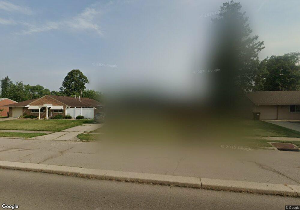
1825 W Stroop Rd Dayton, OH 45439
Estimated Value: $155,000 - $187,000
3
Beds
1
Bath
1,352
Sq Ft
$127/Sq Ft
Est. Value
About This Home
This home is located at 1825 W Stroop Rd, Dayton, OH 45439 and is currently estimated at $171,818, approximately $127 per square foot. 1825 W Stroop Rd is a home located in Montgomery County with nearby schools including Southdale Elementary School, Van Buren Middle School, and Kettering Fairmont High School.
Ownership History
Date
Name
Owned For
Owner Type
Purchase Details
Closed on
Jan 23, 2009
Sold by
North John E and North Tracy A
Bought by
Graham Eleanor J and The Donald E Graham Trust
Current Estimated Value
Purchase Details
Closed on
Sep 15, 1995
Sold by
Gillespie Jerry A and Gillespie Letty L
Bought by
North John E and North Tracy A
Purchase Details
Closed on
Jan 5, 1993
Sold by
Machowsky Paul G
Bought by
Gillespie Jerry A and Gillespie Letty L
Create a Home Valuation Report for This Property
The Home Valuation Report is an in-depth analysis detailing your home's value as well as a comparison with similar homes in the area
Home Values in the Area
Average Home Value in this Area
Purchase History
| Date | Buyer | Sale Price | Title Company |
|---|---|---|---|
| Graham Eleanor J | $85,000 | Chicago Title Insurance Co | |
| North John E | -- | -- | |
| Gillespie Jerry A | -- | -- |
Source: Public Records
Tax History Compared to Growth
Tax History
| Year | Tax Paid | Tax Assessment Tax Assessment Total Assessment is a certain percentage of the fair market value that is determined by local assessors to be the total taxable value of land and additions on the property. | Land | Improvement |
|---|---|---|---|---|
| 2024 | $2,692 | $42,200 | $10,850 | $31,350 |
| 2023 | $2,692 | $42,200 | $10,850 | $31,350 |
| 2022 | $2,205 | $27,270 | $7,000 | $20,270 |
| 2021 | $2,044 | $27,270 | $7,000 | $20,270 |
| 2020 | $2,050 | $27,270 | $7,000 | $20,270 |
| 2019 | $2,198 | $25,890 | $7,000 | $18,890 |
| 2018 | $2,210 | $25,890 | $7,000 | $18,890 |
| 2017 | $2,042 | $25,890 | $7,000 | $18,890 |
| 2016 | $2,120 | $25,900 | $7,000 | $18,900 |
| 2015 | $2,078 | $25,900 | $7,000 | $18,900 |
| 2014 | $2,078 | $25,900 | $7,000 | $18,900 |
| 2012 | -- | $27,300 | $8,400 | $18,900 |
Source: Public Records
Map
Nearby Homes
- 2090 Mattis Dr
- 1692 Hillwood Dr
- 1673 W Stroop Rd
- 4051 Ellery Ave
- 4207 S Dixie Dr
- 4301 Tait Rd
- 1952 Tait Circle Rd
- 1905 Tait Circle Rd
- 2639 Blanchard Ave
- 4629 Richwood Dr
- 3720 Ridgeleigh Rd Unit D
- 4661 Richwood Dr
- 2050 William Ln
- 1349 Tamerlane Rd
- 2571 Cluster Ave
- 4792 Loxley Dr
- 3225 Southdale Dr Unit 1
- 5084 Mays Ave
- 1955 Kresswood Cir
- 1314 Ridgeview Ave
- 1837 W Stroop Rd
- 1813 W Stroop Rd
- 1788 Hillwood Dr
- 1804 Hillwood Dr
- 1780 Hillwood Dr
- 1849 W Stroop Rd
- 1801 W Stroop Rd
- 1816 Hillwood Dr
- 1772 Hillwood Dr
- 1863 W Stroop Rd
- 1799 W Stroop Rd
- 2174 W Stroop Rd
- 2188 W Stroop Rd
- 1828 Hillwood Dr
- 1764 Hillwood Dr
- 2160 W Stroop Rd
- 2202 W Stroop Rd
- 3892 Waterbury Dr
- 3927 Elmira Dr
- 3928 Elmira Dr