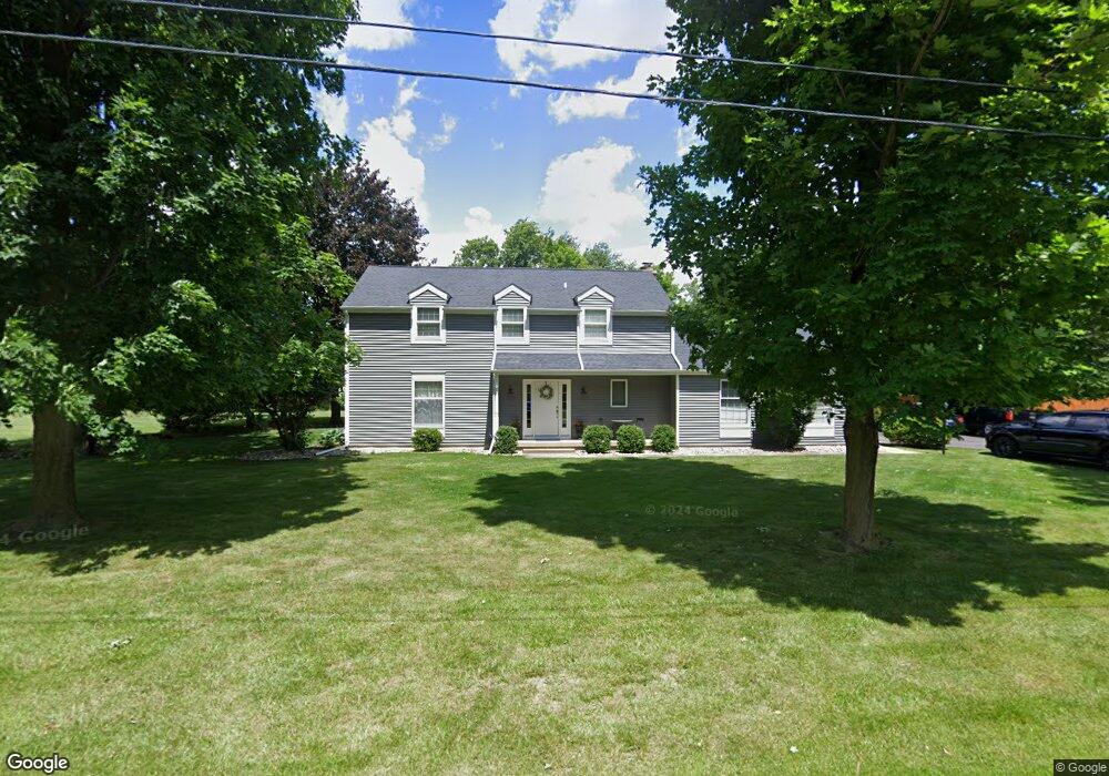
1825 Woodland Dr Owosso, MI 48867
Estimated Value: $238,000 - $344,000
3
Beds
2
Baths
1,848
Sq Ft
$157/Sq Ft
Est. Value
About This Home
This home is located at 1825 Woodland Dr, Owosso, MI 48867 and is currently estimated at $289,753, approximately $156 per square foot. 1825 Woodland Dr is a home located in Shiawassee County with nearby schools including Owosso High School, St. Paul Catholic School, and St. Joseph School.
Ownership History
Date
Name
Owned For
Owner Type
Purchase Details
Closed on
Oct 14, 2005
Sold by
Smith Mark D and Smith Lori M
Bought by
Agnew Theodore L and Agnew Tara K
Current Estimated Value
Home Financials for this Owner
Home Financials are based on the most recent Mortgage that was taken out on this home.
Original Mortgage
$197,600
Outstanding Balance
$106,164
Interest Rate
5.82%
Mortgage Type
Fannie Mae Freddie Mac
Estimated Equity
$183,589
Create a Home Valuation Report for This Property
The Home Valuation Report is an in-depth analysis detailing your home's value as well as a comparison with similar homes in the area
Home Values in the Area
Average Home Value in this Area
Purchase History
| Date | Buyer | Sale Price | Title Company |
|---|---|---|---|
| Agnew Theodore L | $247,000 | First American Title |
Source: Public Records
Mortgage History
| Date | Status | Borrower | Loan Amount |
|---|---|---|---|
| Open | Agnew Theodore L | $197,600 |
Source: Public Records
Tax History Compared to Growth
Tax History
| Year | Tax Paid | Tax Assessment Tax Assessment Total Assessment is a certain percentage of the fair market value that is determined by local assessors to be the total taxable value of land and additions on the property. | Land | Improvement |
|---|---|---|---|---|
| 2025 | $2,121 | $111,900 | $0 | $0 |
| 2024 | $2,121 | $109,400 | $0 | $0 |
| 2023 | $841 | $104,900 | $0 | $0 |
| 2022 | $1,184 | $95,200 | $0 | $0 |
| 2021 | $1,872 | $85,400 | $0 | $0 |
| 2020 | $1,084 | $84,100 | $0 | $0 |
| 2019 | $1,414 | $73,800 | $0 | $0 |
| 2018 | $1,842 | $72,100 | $0 | $0 |
| 2017 | $1,460 | $67,300 | $0 | $0 |
| 2016 | -- | $67,300 | $0 | $0 |
| 2015 | -- | $64,000 | $0 | $0 |
| 2014 | -- | $60,500 | $0 | $0 |
Source: Public Records
Map
Nearby Homes
- 1701 Copas Rd
- Vacant Copas Rd
- 535 Elizabeth Dr
- V/L Short St
- V/L E Main St
- 1430 Mallard Cir
- 1473 Mallard Cir
- 813 Wiltshire Dr
- 415 Dimmick St
- 628 Aiken St
- 703 Queen St
- 809 Stevens Dr
- 1301 Whitehaven Ct
- 611 Beck Ave
- 332 N Dewey St
- 1833 Owosso Ave
- 509 Abbott St
- 2010 Kilbourn Ave
- 1856 Owosso Ave
- 624 E Comstock St
- 1845 Woodland Dr
- 510 Woodmere Blvd
- 1844 Woodland Dr
- 1865 Woodland Dr
- 515 Woodmere Blvd
- 1813 Copas Rd
- 500 Woodmere Blvd
- 1811 Copas Rd
- 1801 Copas Rd
- 505 Woodmere Blvd
- 1788 Copas Rd
- 1871 Woodland Dr
- 1795 Copas Rd
- 1880 Woodland Dr
- 1789 Copas Rd
- 1784 Copas Rd
- 1901 Briarcliff Blvd
- 1871 Maplewood Dr
- 1810 Maplewood Dr
- 1830 Maplewood Dr