18253 S Arnett Dr Oregon City, OR 97045
Estimated Value: $518,000 - $754,000
3
Beds
2
Baths
1,992
Sq Ft
$320/Sq Ft
Est. Value
About This Home
This home is located at 18253 S Arnett Dr, Oregon City, OR 97045 and is currently estimated at $636,679, approximately $319 per square foot. 18253 S Arnett Dr is a home located in Clackamas County with nearby schools including Redland Elementary School, Tumwata Middle School, and Oregon City Senior High School.
Ownership History
Date
Name
Owned For
Owner Type
Purchase Details
Closed on
Dec 27, 2001
Sold by
Canamore Olen A
Bought by
Canamore Jacqueline E
Current Estimated Value
Purchase Details
Closed on
Sep 26, 1997
Sold by
Longhorn Investments Ltd
Bought by
Canamore Jacqueline E and Canamore Olen A
Purchase Details
Closed on
Sep 23, 1997
Sold by
Canamore Olen A and Canamore Jacqueline E
Bought by
Canamore Olen A and Canamore Jacqueline E
Purchase Details
Closed on
May 19, 1997
Sold by
Arnett Leroy F and Arnett Leroy F
Bought by
Longhorn Investments Ltd
Create a Home Valuation Report for This Property
The Home Valuation Report is an in-depth analysis detailing your home's value as well as a comparison with similar homes in the area
Home Values in the Area
Average Home Value in this Area
Purchase History
| Date | Buyer | Sale Price | Title Company |
|---|---|---|---|
| Canamore Jacqueline E | -- | -- | |
| Canamore Jacqueline E | $192,500 | First American Title Ins Co | |
| Canamore Olen A | -- | First American Title Ins Co | |
| Longhorn Investments Ltd | $120,000 | -- |
Source: Public Records
Tax History Compared to Growth
Tax History
| Year | Tax Paid | Tax Assessment Tax Assessment Total Assessment is a certain percentage of the fair market value that is determined by local assessors to be the total taxable value of land and additions on the property. | Land | Improvement |
|---|---|---|---|---|
| 2025 | $4,967 | $319,556 | -- | -- |
| 2024 | $4,439 | $310,249 | -- | -- |
| 2023 | $4,439 | $301,213 | $0 | $0 |
| 2022 | $4,056 | $292,440 | $0 | $0 |
| 2021 | $3,877 | $283,923 | $0 | $0 |
| 2020 | $3,762 | $275,654 | $0 | $0 |
| 2019 | $3,672 | $267,626 | $0 | $0 |
| 2018 | $3,514 | $259,831 | $0 | $0 |
| 2017 | $3,443 | $252,263 | $0 | $0 |
| 2016 | $3,372 | $244,916 | $0 | $0 |
| 2015 | $3,288 | $237,783 | $0 | $0 |
| 2014 | $3,156 | $230,857 | $0 | $0 |
Source: Public Records
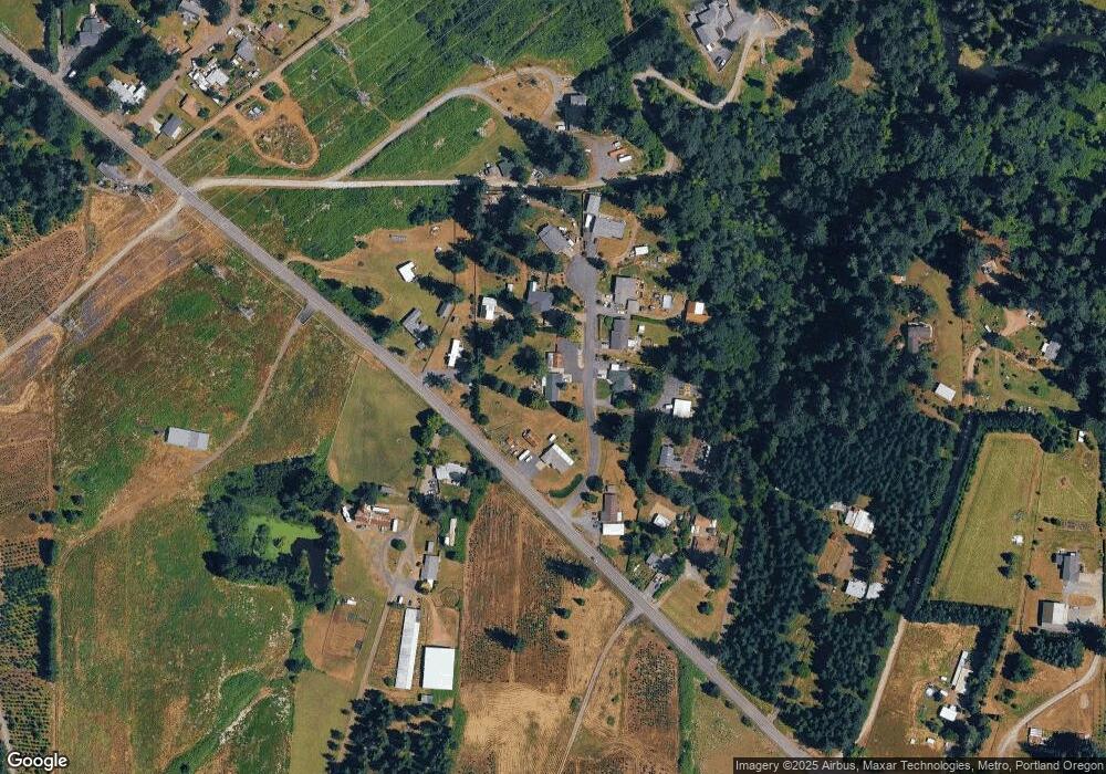
Map
Nearby Homes
- 19595 S Fischers Mill Rd
- 19670 S Fischers Mill Rd
- 19670 S Fischers Mill Rd
- 18200 S Christine Ct
- 0 S Strowbridge Rd Unit 329200310
- 0 S Strowbridge Rd Unit 24366285
- 18450 S Redland Rd
- 18976 S Sprague Rd
- 17493 S Sinclair Ln
- 19636 S Ridge Rd
- 16710 S Gerber Rd
- 17761 S Joanne Ln
- 18223 S Springwater Rd
- 18074 S Grasle Rd
- 18385 S Springwater Rd
- 19482 S Henrici Rd
- 18763 S Grasle Rd
- 17445 S Beckman Rd
- 16731 S Harding Rd
- 20878 S Ridge Place
- 19695 S Fischers Mill Rd
- 18240 S Arnett Dr
- 18229 S Arnett Dr
- 19679 S Fischers Mill Rd
- 18222 S Arnett Dr
- 19702 S Fischers Mill Rd
- 18262 S Arnett Dr
- 19731 S Fischers Mill Rd
- 19811 S Fischers Mill Rd
- 19675 S Fischers Mill Rd
- 18205 S Arnett Dr
- 18200 S Arnett Dr
- 0 S Fischers Mill Rd Unit 5-1299
- 0 S Fischers Mill Rd Unit Parc1 12541425
- 0 S Fischers Mill Rd Unit Parc2 12435556
- 0 S Fischers Mill Rd Unit Parc3
- 19791 S Fischers Mill Rd
- 19575 S Fischers Mill Rd
- 19535 S Fischers Mill Rd
- 19801 S Fischers Mill Rd