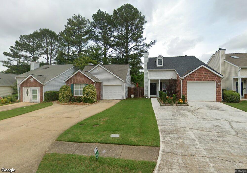
1826 Commonwealth Dr Unit 2 Woodstock, GA 30188
Estimated Value: $294,227 - $308,000
2
Beds
2
Baths
988
Sq Ft
$305/Sq Ft
Est. Value
About This Home
This home is located at 1826 Commonwealth Dr Unit 2, Woodstock, GA 30188 and is currently estimated at $301,114, approximately $304 per square foot. 1826 Commonwealth Dr Unit 2 is a home located in Cherokee County with nearby schools including Little River Elementary, Mill Creek Middle School, and River Ridge High School.
Ownership History
Date
Name
Owned For
Owner Type
Purchase Details
Closed on
Feb 9, 1999
Sold by
Rain Barbara E
Bought by
Gorden Bob K
Current Estimated Value
Home Financials for this Owner
Home Financials are based on the most recent Mortgage that was taken out on this home.
Original Mortgage
$90,256
Outstanding Balance
$20,519
Interest Rate
6.79%
Mortgage Type
FHA
Estimated Equity
$280,595
Purchase Details
Closed on
Jun 15, 1993
Sold by
Bennett Ian G and Bennett Helene D
Bought by
Rain Barbara E
Home Financials for this Owner
Home Financials are based on the most recent Mortgage that was taken out on this home.
Original Mortgage
$68,100
Interest Rate
3.58%
Mortgage Type
FHA
Create a Home Valuation Report for This Property
The Home Valuation Report is an in-depth analysis detailing your home's value as well as a comparison with similar homes in the area
Home Values in the Area
Average Home Value in this Area
Purchase History
| Date | Buyer | Sale Price | Title Company |
|---|---|---|---|
| Gorden Bob K | $91,000 | -- | |
| Rain Barbara E | $68,500 | -- |
Source: Public Records
Mortgage History
| Date | Status | Borrower | Loan Amount |
|---|---|---|---|
| Open | Gorden Bob K | $90,256 | |
| Previous Owner | Rain Barbara E | $68,100 |
Source: Public Records
Tax History Compared to Growth
Tax History
| Year | Tax Paid | Tax Assessment Tax Assessment Total Assessment is a certain percentage of the fair market value that is determined by local assessors to be the total taxable value of land and additions on the property. | Land | Improvement |
|---|---|---|---|---|
| 2025 | $342 | $119,968 | $25,600 | $94,368 |
| 2024 | $333 | $111,488 | $23,200 | $88,288 |
| 2023 | $52 | $103,248 | $20,000 | $83,248 |
| 2022 | $384 | $95,476 | $20,000 | $75,476 |
| 2021 | $344 | $71,704 | $14,000 | $57,704 |
| 2020 | $2,094 | $65,016 | $11,600 | $53,416 |
| 2019 | $1,494 | $59,400 | $11,600 | $47,800 |
| 2018 | $1,363 | $53,840 | $11,600 | $42,240 |
| 2017 | $1,319 | $129,200 | $11,600 | $40,080 |
| 2016 | $1,226 | $119,100 | $10,000 | $37,640 |
| 2015 | $1,067 | $102,700 | $10,000 | $31,080 |
| 2014 | $874 | $84,000 | $8,000 | $25,600 |
Source: Public Records
Map
Nearby Homes
- 1351 Yorkshire Ln
- 226 Hames Rd Unit 405
- 226 Hames Rd Unit 225
- 204 Magnolia Creek Way
- 201 Jonquil Spring Rd
- 532 Walton Dr
- 615 Bedford Ct
- 338 Cherryhill Ln
- 139 Village Trail
- 776 Woodstock Grove Dr
- 778 Woodstock Grove Dr
- 179 Village Trail
- 403 Village View
- 11511 Highway 92
- 505 Radford Ct
- 419 Creekside Ln
- 156 W Oaks Place
- 421 Creek Valley Dr
- 1244 Hickory Wood Dr NE
- 137 Creekview Dr
- 1828 Commonwealth Dr
- 1824 Commonwealth Dr
- 1830 Commonwealth Dr
- 1820 Commonwealth Dr Unit 2
- 1832 Commonwealth Dr
- 0 Commonwealth Dr Unit 8594194
- 0 Commonwealth Dr Unit 8494777
- 0 Commonwealth Dr Unit 9078506
- 0 Commonwealth Dr Unit 2691876
- 0 Commonwealth Dr Unit 3214980
- 0 Commonwealth Dr Unit 7555513
- 0 Commonwealth Dr Unit 8137246
- 1103 Rook Place Unit 4
- 1319 Yorkshire Ln
- 1600 Buckingham Place
- 1834 Commonwealth Dr
- 1105 Rook Place
- 1818 Commonwealth Dr
- 1317 Yorkshire Ln
- 1101 Rook Place