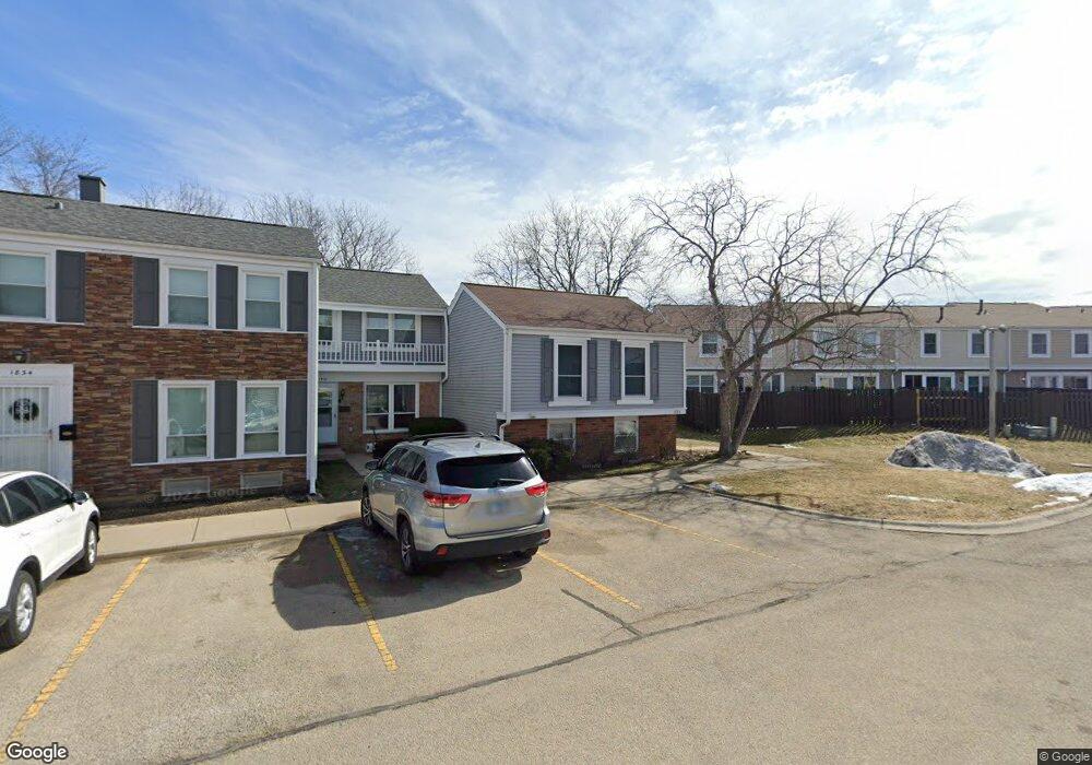
1826 Grantham Place Unit 1 Hoffman Estates, IL 60169
South Hoffman Estates NeighborhoodEstimated Value: $209,711 - $286,000
2
Beds
2
Baths
806
Sq Ft
$298/Sq Ft
Est. Value
About This Home
This home is located at 1826 Grantham Place Unit 1, Hoffman Estates, IL 60169 and is currently estimated at $239,928, approximately $297 per square foot. 1826 Grantham Place Unit 1 is a home located in Cook County with nearby schools including John Muir Literacy Academy, Dwight D Eisenhower Junior High School, and Hoffman Estates High School.
Ownership History
Date
Name
Owned For
Owner Type
Purchase Details
Closed on
Oct 14, 1994
Sold by
Banach Steven E
Bought by
Colastick Laura L
Current Estimated Value
Home Financials for this Owner
Home Financials are based on the most recent Mortgage that was taken out on this home.
Original Mortgage
$64,000
Outstanding Balance
$34,746
Interest Rate
8.53%
Estimated Equity
$205,182
Purchase Details
Closed on
Sep 1, 1994
Sold by
Banach John R and Banach Kristi K
Bought by
Banach Steven E
Home Financials for this Owner
Home Financials are based on the most recent Mortgage that was taken out on this home.
Original Mortgage
$64,000
Outstanding Balance
$34,746
Interest Rate
8.53%
Estimated Equity
$205,182
Create a Home Valuation Report for This Property
The Home Valuation Report is an in-depth analysis detailing your home's value as well as a comparison with similar homes in the area
Home Values in the Area
Average Home Value in this Area
Purchase History
| Date | Buyer | Sale Price | Title Company |
|---|---|---|---|
| Colastick Laura L | $75,500 | -- | |
| Banach Steven E | -- | -- |
Source: Public Records
Mortgage History
| Date | Status | Borrower | Loan Amount |
|---|---|---|---|
| Open | Colastick Laura L | $64,000 |
Source: Public Records
Tax History
| Year | Tax Paid | Tax Assessment Tax Assessment Total Assessment is a certain percentage of the fair market value that is determined by local assessors to be the total taxable value of land and additions on the property. | Land | Improvement |
|---|---|---|---|---|
| 2025 | $3,385 | $21,000 | $3,348 | $17,652 |
| 2024 | $3,385 | $17,000 | $3,000 | $14,000 |
| 2023 | $657 | $17,000 | $3,000 | $14,000 |
| 2022 | $657 | $17,000 | $3,000 | $14,000 |
| 2021 | $722 | $12,683 | $2,636 | $10,047 |
| 2020 | $657 | $12,683 | $2,636 | $10,047 |
| 2019 | $650 | $14,093 | $2,636 | $11,457 |
| 2018 | $725 | $12,655 | $2,301 | $10,354 |
| 2017 | $700 | $12,655 | $2,301 | $10,354 |
| 2016 | $1,326 | $12,655 | $2,301 | $10,354 |
| 2015 | $1,501 | $12,297 | $2,008 | $10,289 |
| 2014 | $1,444 | $12,297 | $2,008 | $10,289 |
| 2013 | $1,440 | $12,297 | $2,008 | $10,289 |
Source: Public Records
Map
Nearby Homes
- 1792 Williamsburg Dr
- 2080 Sutherland Place Unit 1
- 1933 Williamsburg Dr Unit 1
- 1659 Islandview Ct
- 1965 Blackberry Ln Unit 101
- 2267 Briar Ct Unit 65
- 2051 Kettering Rd Unit 2
- 1576 Poplar Creek Dr
- 1587 Brookside Dr
- 2222 Seaver Ln
- 2021 Kensington Ln Unit 3004
- 2027 Kensington Ln Unit 3001
- 2025 Kensington Ln Unit 3002
- 2023 Kensington Ln Unit 3003
- 1840 Huntington Blvd Unit BW511
- 1722 Fayette Walk Unit E
- 1724 Fayette Walk Unit J
- 1776 Bristol Walk Unit 1776
- 1769 Sessions Walk Unit C
- 1760 Bristol Walk Unit F
- 1830 Grantham Place Unit 1
- 1834 Grantham Place Unit 1
- 1815 Williamsburg Dr Unit 1A
- 1838 Grantham Place Unit 1
- 1819 Williamsburg Dr
- 1842 Grantham Place Unit 1
- 1823 Williamsburg Dr Unit 1A
- 1823 Williamsburg Dr Unit 1823
- 1835 Williamsburg Dr
- 1827 Williamsburg Dr Unit 1A
- 1839 Williamsburg Dr
- 1846 Grantham Place
- 1843 Williamsburg Dr
- 1831 Williamsburg Dr
- 1839 Grantham Place Unit 1
- 1850 Grantham Place
- 1843 Grantham Place Unit 1
- 1847 Grantham Place
- 1847 Williamsburg Dr Unit 1A
- 1854 Grantham Place Unit 1
Your Personal Tour Guide
Ask me questions while you tour the home.