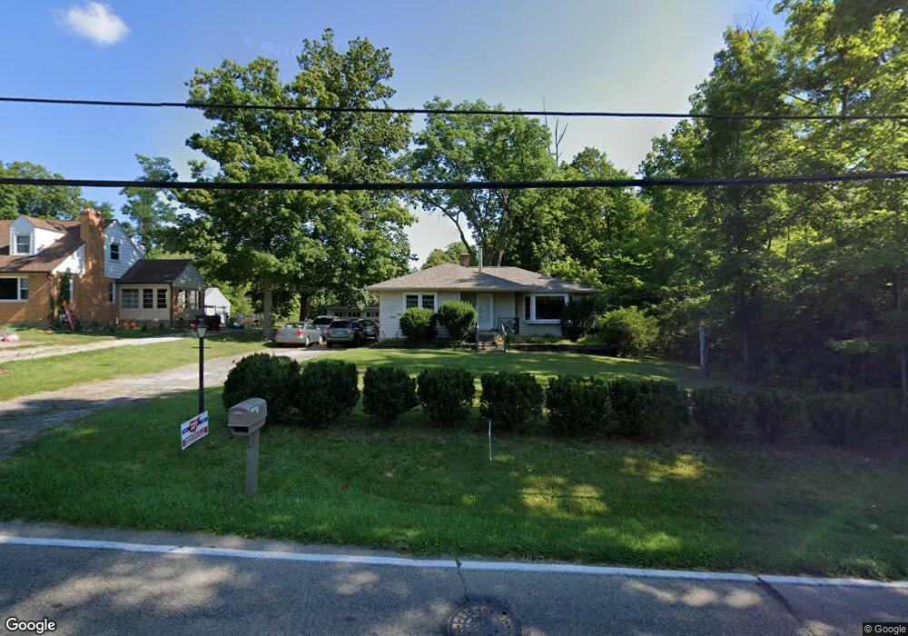
1826 Miles Rd Cincinnati, OH 45231
New Burlington NeighborhoodEstimated Value: $196,086 - $222,000
2
Beds
2
Baths
1,064
Sq Ft
$199/Sq Ft
Est. Value
About This Home
This home is located at 1826 Miles Rd, Cincinnati, OH 45231 and is currently estimated at $212,022, approximately $199 per square foot. 1826 Miles Rd is a home located in Hamilton County with nearby schools including Mt Healthy High School, Hamilton County Mathematics and Science Academy, and Central Montessori Academy.
Ownership History
Date
Name
Owned For
Owner Type
Purchase Details
Closed on
Jul 2, 2001
Sold by
Spath Patricia L and Spath Daniel R
Bought by
Meyer Daniel R and Spath Meyer Patricia L
Current Estimated Value
Home Financials for this Owner
Home Financials are based on the most recent Mortgage that was taken out on this home.
Original Mortgage
$56,600
Interest Rate
7.22%
Purchase Details
Closed on
Dec 3, 1996
Sold by
Volz Jayme R and Volz April
Bought by
Spath Patricia L
Home Financials for this Owner
Home Financials are based on the most recent Mortgage that was taken out on this home.
Original Mortgage
$65,000
Interest Rate
7.85%
Create a Home Valuation Report for This Property
The Home Valuation Report is an in-depth analysis detailing your home's value as well as a comparison with similar homes in the area
Home Values in the Area
Average Home Value in this Area
Purchase History
| Date | Buyer | Sale Price | Title Company |
|---|---|---|---|
| Meyer Daniel R | -- | -- | |
| Spath Patricia L | $74,000 | -- |
Source: Public Records
Mortgage History
| Date | Status | Borrower | Loan Amount |
|---|---|---|---|
| Previous Owner | Meyer Daniel R | $56,600 | |
| Previous Owner | Spath Patricia L | $65,000 |
Source: Public Records
Tax History
| Year | Tax Paid | Tax Assessment Tax Assessment Total Assessment is a certain percentage of the fair market value that is determined by local assessors to be the total taxable value of land and additions on the property. | Land | Improvement |
|---|---|---|---|---|
| 2025 | $2,943 | $50,541 | $14,634 | $35,907 |
| 2023 | $2,772 | $50,541 | $14,634 | $35,907 |
| 2022 | $2,938 | $38,609 | $14,305 | $24,304 |
| 2021 | $2,864 | $38,609 | $14,305 | $24,304 |
| 2020 | $2,901 | $38,609 | $14,305 | $24,304 |
| 2019 | $2,447 | $30,401 | $11,263 | $19,138 |
| 2018 | $2,461 | $30,401 | $11,263 | $19,138 |
| 2017 | $2,339 | $30,401 | $11,263 | $19,138 |
| 2016 | $2,183 | $27,976 | $10,483 | $17,493 |
| 2015 | $2,198 | $27,976 | $10,483 | $17,493 |
| 2014 | $2,187 | $27,976 | $10,483 | $17,493 |
| 2013 | $2,432 | $31,791 | $11,911 | $19,880 |
Source: Public Records
Map
Nearby Homes
- 1805 Miles Rd
- 624 Brightview Dr
- 626 Brightview Dr
- 606 Brightview Dr
- 610 Brightview Dr
- 622 Brightview Dr
- 614 Brightview Dr
- 616 Brightview Dr
- 620 Brightview Dr
- 612 Brightview Dr
- 604 Brightview Dr
- 2005 Miles Rd
- 616 Brightview Place Unit 28
- 610 Brightview Place Unit 31
- 622 Brightview Place Unit 26
- 612 Brightview Place Unit 30
- 626 Brightview Place Unit 24
- 620 Brightview Place Unit 27
- 624 Brightview Place Unit 25
- 614 Brightview Place Unit 29
- 1842 Miles Rd
- 1800 Miles Rd
- 1831 Miles Rd
- 1807 Miles Rd
- 0 Shellbark Ln Unit 122 1586959
- 1796 Miles Rd
- 1853 Miles Rd
- 1868 Miles Rd
- 1868 Miles Rd
- 1851 Miles Rd
- 1857 Miles Rd
- 1788 Miles Rd
- 9996 Shellbark Ln
- 10067 Hamilton Ave
- 1782 Miles Rd
- 9970 Shellbark Ln
- 9962 Shellbark Ln
- 9978 Shellbark Ln
- 1878 Miles Rd
- 1776 Miles Rd
Your Personal Tour Guide
Ask me questions while you tour the home.