1826 N 2070 E Unit 45 North Logan, UT 84341
Estimated Value: $743,000 - $947,000
--
Bed
--
Bath
3,301
Sq Ft
$263/Sq Ft
Est. Value
About This Home
This home is located at 1826 N 2070 E Unit 45, North Logan, UT 84341 and is currently estimated at $866,612, approximately $262 per square foot. 1826 N 2070 E Unit 45 is a home located in Cache County with nearby schools including Greenville School, Cedar Ridge School, and Cedar Ridge Middle School.
Ownership History
Date
Name
Owned For
Owner Type
Purchase Details
Closed on
Jul 7, 2020
Sold by
Deceuster Andrew and Deceuster Jessica
Bought by
Deceuster Andrew I and Deceuster Jessica A
Current Estimated Value
Home Financials for this Owner
Home Financials are based on the most recent Mortgage that was taken out on this home.
Original Mortgage
$431,250
Outstanding Balance
$380,694
Interest Rate
3.1%
Mortgage Type
New Conventional
Estimated Equity
$485,918
Purchase Details
Closed on
Aug 29, 2016
Sold by
Green Canyon Estates Phase Ii Llc
Bought by
Deceuster Andrew and Deceuster Jessica
Home Financials for this Owner
Home Financials are based on the most recent Mortgage that was taken out on this home.
Original Mortgage
$307,000
Interest Rate
3.48%
Mortgage Type
Construction
Create a Home Valuation Report for This Property
The Home Valuation Report is an in-depth analysis detailing your home's value as well as a comparison with similar homes in the area
Home Values in the Area
Average Home Value in this Area
Purchase History
| Date | Buyer | Sale Price | Title Company |
|---|---|---|---|
| Deceuster Andrew I | -- | Hickman Land Title Logan | |
| Deceuster Andrew | -- | None Available |
Source: Public Records
Mortgage History
| Date | Status | Borrower | Loan Amount |
|---|---|---|---|
| Open | Deceuster Andrew I | $431,250 | |
| Closed | Deceuster Andrew | $307,000 |
Source: Public Records
Tax History Compared to Growth
Tax History
| Year | Tax Paid | Tax Assessment Tax Assessment Total Assessment is a certain percentage of the fair market value that is determined by local assessors to be the total taxable value of land and additions on the property. | Land | Improvement |
|---|---|---|---|---|
| 2025 | $3,574 | $500,345 | $0 | $0 |
| 2024 | $3,852 | $501,795 | $0 | $0 |
| 2023 | $4,096 | $499,235 | $0 | $0 |
| 2022 | $4,286 | $499,235 | $0 | $0 |
| 2021 | $365 | $658,800 | $83,000 | $575,800 |
| 2020 | $2,877 | $487,096 | $83,000 | $404,096 |
| 2019 | $3,013 | $487,096 | $83,000 | $404,096 |
| 2018 | $2,830 | $443,800 | $83,000 | $360,800 |
| 2017 | $1,006 | $83,000 | $0 | $0 |
| 2016 | $1,021 | $72,000 | $0 | $0 |
| 2015 | $889 | $72,000 | $0 | $0 |
Source: Public Records
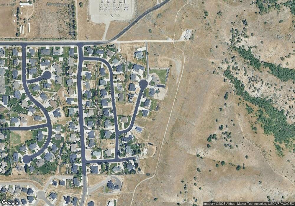
Map
Nearby Homes
- 1810 N 2070 E Unit 10
- 1949 Deer Crest Cir Unit 49
- 1872 N 1850 E
- 1901 Southpointe Ct
- 1586 N Sharptail Cir
- 1891 E 1500 N
- 1902 E 1500 N
- 1465 N Stonecrest Ln Unit 14
- 1451 N Aspen Dr
- 1405 N Aspen Dr
- 2025 N 1550 E
- 945 N 1600 E
- 1901 N 1380 E
- 2516 N 2300 E Unit 63
- 1454 N 1400 E
- 1285 E 1600 N
- 2573 N 2300 E Unit 45
- 1491 E 2300 N
- 1495 E 2300 N
- 2611 N 2300 E
- 1812 N 2070 E Unit 44
- 1812 N 2070 E
- 1846 N 2070 E Unit 46
- 1846 N 2070 E
- 1827 N 2070 E Unit 41
- 1827 N 2070 E
- 1802 N 2070 E Unit 43
- 1845 N 2070 E Unit 40
- 1810 N Green Canyon View Unit 10
- 1828 N 2050 E
- 1866 N 2070 E Unit 47
- 1866 N 2070 E
- 1790 N 2050 E
- 1780 N 2070 E Unit 42
- 1865 N 2070 E Unit 39
- 1844 N 2050 E
- 1875 N 2070 E Unit 38
- 1862 N 2050 E
- 1762 N 2050 E Unit 12
- 1807 N 2050 E Unit 30