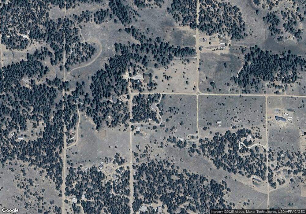
1826 P Path Cotopaxi, CO 81223
Estimated Value: $245,056 - $386,000
3
Beds
2
Baths
1,736
Sq Ft
$166/Sq Ft
Est. Value
About This Home
This home is located at 1826 P Path, Cotopaxi, CO 81223 and is currently estimated at $287,764, approximately $165 per square foot. 1826 P Path is a home located in Fremont County with nearby schools including Cotopaxi Elementary School and Cotopaxi Junior/Senior High School.
Ownership History
Date
Name
Owned For
Owner Type
Purchase Details
Closed on
Jul 26, 2019
Sold by
Smiley Billy J and Smiley Donna A
Bought by
Garcia Beverly J
Current Estimated Value
Home Financials for this Owner
Home Financials are based on the most recent Mortgage that was taken out on this home.
Original Mortgage
$156,120
Outstanding Balance
$139,007
Interest Rate
4.75%
Mortgage Type
FHA
Estimated Equity
$148,757
Purchase Details
Closed on
Jan 10, 2018
Sold by
Baasch Ronald G
Bought by
Smiley Billy J and Smiley Donna A
Create a Home Valuation Report for This Property
The Home Valuation Report is an in-depth analysis detailing your home's value as well as a comparison with similar homes in the area
Purchase History
| Date | Buyer | Sale Price | Title Company |
|---|---|---|---|
| Garcia Beverly J | $159,000 | Stewart Title | |
| Smiley Billy J | $100,000 | Stewart Title |
Source: Public Records
Mortgage History
| Date | Status | Borrower | Loan Amount |
|---|---|---|---|
| Open | Garcia Beverly J | $156,120 |
Source: Public Records
Tax History
| Year | Tax Paid | Tax Assessment Tax Assessment Total Assessment is a certain percentage of the fair market value that is determined by local assessors to be the total taxable value of land and additions on the property. | Land | Improvement |
|---|---|---|---|---|
| 2024 | $851 | $17,819 | $0 | $0 |
| 2023 | $665 | $13,717 | $0 | $0 |
| 2022 | $509 | $10,954 | $0 | $0 |
| 2021 | $512 | $11,270 | $0 | $0 |
| 2020 | $344 | $7,708 | $0 | $0 |
| 2019 | $343 | $7,708 | $0 | $0 |
| 2018 | $382 | $8,585 | $0 | $0 |
| 2017 | $384 | $8,585 | $0 | $0 |
| 2016 | $400 | $8,970 | $0 | $0 |
| 2015 | $399 | $8,970 | $0 | $0 |
| 2012 | $393 | $9,572 | $796 | $8,776 |
Source: Public Records
Map
Nearby Homes
- 1739 17th Trail
- TBD 21st Trail
- 1812 17th Trail
- 2225 P Path
- 1839 19th Trail
- 1838 17th Trail
- TBD 20th Trail
- TR-36 23rd Trail
- 1863 16th Trail
- 0 Trail
- 1446 13th Trail
- 0 21st Trail Unit REC1871091
- 177 County Road 27a
- 2176 L Path
- 1738 12th Trail
- TBD 12th Trail
- 1738 12th Trail Unit 76007520
- 0 Q Path Unit 7992612
- 000 K Path
- 739 17th Trail
- 1812 18th Trail
- 1588 18th Trail
- 1638 18th Trail
- 1613 18th Trail
- 1638 19th Trail
- 1563 19th Trail Unit n/a
- 1563 19th Trail
- 1662 18th Trail
- 1663 18th Trail
- 1562 19th Trail
- 1563 18th Trail
- 1639 20th Trail
- 1639 20th Trail Unit 58
- 1825 Q Path
- 0 Lots 1 &2 19th Trail Unit 4115980
- 0 Snowshoe Path
- 02276 Q Path
- 00 Q Path
- 1676 Q Path
- TBD MB Q Path
