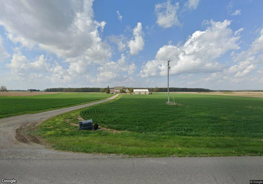
1826 W Gorman Rd Adrian, MI 49221
Estimated Value: $338,000 - $546,000
3
Beds
3
Baths
2,822
Sq Ft
$161/Sq Ft
Est. Value
About This Home
This home is located at 1826 W Gorman Rd, Adrian, MI 49221 and is currently estimated at $455,148, approximately $161 per square foot. 1826 W Gorman Rd is a home with nearby schools including Ruth McGregor Elementary School and Sand Creek High School.
Ownership History
Date
Name
Owned For
Owner Type
Purchase Details
Closed on
Aug 19, 2016
Sold by
Thomas Kristin E and Earies Kristin E
Bought by
Thomas Kristin E and Thomas Leo Ryan
Current Estimated Value
Purchase Details
Closed on
May 4, 2009
Sold by
Earles Eric C
Bought by
Earles Kristin E
Create a Home Valuation Report for This Property
The Home Valuation Report is an in-depth analysis detailing your home's value as well as a comparison with similar homes in the area
Home Values in the Area
Average Home Value in this Area
Purchase History
| Date | Buyer | Sale Price | Title Company |
|---|---|---|---|
| Thomas Kristin E | -- | None Available | |
| Earles Kristin E | -- | None Available |
Source: Public Records
Tax History Compared to Growth
Tax History
| Year | Tax Paid | Tax Assessment Tax Assessment Total Assessment is a certain percentage of the fair market value that is determined by local assessors to be the total taxable value of land and additions on the property. | Land | Improvement |
|---|---|---|---|---|
| 2025 | $4,868 | $255,500 | $0 | $0 |
| 2024 | $2,017 | $227,000 | $0 | $0 |
| 2022 | $1,771 | $188,300 | $0 | $0 |
| 2021 | $4,410 | $182,800 | $0 | $0 |
| 2020 | $4,326 | $173,600 | $0 | $0 |
| 2019 | $368,104 | $152,100 | $0 | $0 |
| 2018 | $4,381 | $152,118 | $0 | $0 |
| 2017 | $3,875 | $134,593 | $0 | $0 |
| 2016 | $3,615 | $128,212 | $0 | $0 |
| 2014 | -- | $109,968 | $0 | $0 |
Source: Public Records
Map
Nearby Homes
- 7489 Jefferson St
- 5611 S Adrian Hwy
- 1755 E Carleton Rd
- 4225 Treat Hwy
- 1704 E Carleton Rd
- 3118 Planeview Dr
- 2329 Wood Ridge Dr
- 2711 E Carleton Rd
- 280 San Antonio River Dr
- 2101 Lakewood Dr
- 302 Lakewood Dr
- 1883 Harold St
- 5000 BLK LOT B S Adrian Hwy
- 5000 BLK LOT C S Adrian Hwy
- 5000 BLK LOT D S Adrian Hwy
- 1639 Rivers Edge Ct
- 1637 Rivers Edge Ct
- 2741 Sharon Dr
- 2821 Eunice Cir
- 2819 Eunice Cir
- 1797 W Gorman Rd
- 1733 W Gorman Rd
- 1645 W Gorman Rd
- 2030 W Gorman Rd
- 1000 W Gorman Rd Unit BLK
- 1000 W Gorman Rd Unit Lot 3
- 1000 W Gorman Rd Unit Lot 2
- 1000 W Gorman Rd Unit Lot 4
- 2115 W Gorman Rd
- 1468 W Gorman Rd
- 1460 W Gorman Rd
- 2000 W Gorman Rd Unit BLK
- 2000 W Gorman Rd Unit BLK
- 2000 W Gorman Rd Unit BLK
- 2000 W Gorman Rd Unit BLK
- 2000 W Gorman Rd Unit BLK
- 2000 W Gorman Rd
- 1366 W Gorman Rd
- 2175 W Gorman Rd
- 1360 W Gorman Rd