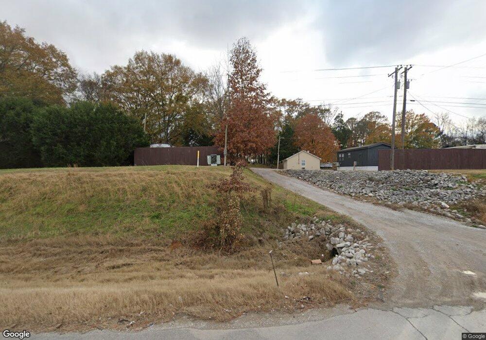
18260 Highway 72 Tuscumbia, AL 35674
Estimated Value: $554,000 - $1,387,325
--
Bed
1
Bath
1,485
Sq Ft
$653/Sq Ft
Est. Value
About This Home
This home is located at 18260 Highway 72, Tuscumbia, AL 35674 and is currently estimated at $969,581, approximately $652 per square foot. 18260 Highway 72 is a home located in Colbert County with nearby schools including Cherokee Elementary School and Cherokee High School.
Ownership History
Date
Name
Owned For
Owner Type
Purchase Details
Closed on
Nov 1, 2022
Sold by
R & D Holdings Llc
Bought by
Galt Two Llc
Current Estimated Value
Purchase Details
Closed on
May 31, 2017
Sold by
Tuscumbia Park Llc
Bought by
R & D Holdings Llc
Home Financials for this Owner
Home Financials are based on the most recent Mortgage that was taken out on this home.
Original Mortgage
$200,000
Interest Rate
4.02%
Mortgage Type
New Conventional
Create a Home Valuation Report for This Property
The Home Valuation Report is an in-depth analysis detailing your home's value as well as a comparison with similar homes in the area
Home Values in the Area
Average Home Value in this Area
Purchase History
| Date | Buyer | Sale Price | Title Company |
|---|---|---|---|
| Galt Two Llc | $1,175,000 | -- | |
| R & D Holdings Llc | -- | -- |
Source: Public Records
Mortgage History
| Date | Status | Borrower | Loan Amount |
|---|---|---|---|
| Previous Owner | R & D Holdings Llc | $200,000 |
Source: Public Records
Tax History Compared to Growth
Tax History
| Year | Tax Paid | Tax Assessment Tax Assessment Total Assessment is a certain percentage of the fair market value that is determined by local assessors to be the total taxable value of land and additions on the property. | Land | Improvement |
|---|---|---|---|---|
| 2024 | $4,737 | $133,300 | $16,440 | $116,860 |
| 2023 | $4,099 | $54,100 | $0 | $0 |
| 2022 | $1,589 | $49,640 | $0 | $0 |
| 2021 | $1,428 | $44,260 | $0 | $0 |
| 2020 | $1,322 | $40,720 | $0 | $0 |
| 2019 | $1,318 | $40,720 | $0 | $0 |
| 2018 | $1,318 | $40,600 | $0 | $0 |
| 2017 | $1,333 | $41,100 | $0 | $0 |
| 2016 | $1,318 | $40,600 | $0 | $0 |
| 2013 | -- | $0 | $0 | $0 |
Source: Public Records
Map
Nearby Homes
- 00 Pilgrim Rd
- Tract D Old Memphis Pike
- Tract E Old Memphis Pike
- 710 Carter Dr
- Tract C Old Memphis Pike
- Tract B Old Memphis Pike
- 24 Pride Estates Rd
- 25 Pride Estates Rd
- 23 Pride Estates Rd
- 21 Pride Estates Rd
- 22 Pride Estates Rd
- Tract F Old Memphis Pike
- 20838 Highway 72
- 1096 Rain Tree Dr
- 1100 Rain Tree Dr
- 1705 Keller Quarry Rd
- 425 Cedar Hill Ln
- 589 Hester Porter Rd
- 163 McGee Way
- 92 Mountain Unit Road
- 18400 Highway 72
- 2265 Old Memphis Pike
- 2221 Old Lee Rd
- 2260 Old Memphis Pike
- 145 Florida Ln
- 1870 Old Memphis Pike
- 18570 Highway 72
- 985 Stonecipher Rd
- 1795 Old Memphis Pike
- 1795 Old Memphis Pike
- 1964 Old Memphis Pike
- 955 Stonecipher Rd
- 841 Stonecipher Rd
- 850 Stonecipher Rd
- 1858 Old Memphis Pike
- 866 Pilgrim Rd
- 780 Stonecipher Rd
- 1665 Old Memphis Pike
- 1680 Old Memphis Pike
- 594 Pilgrim Rd