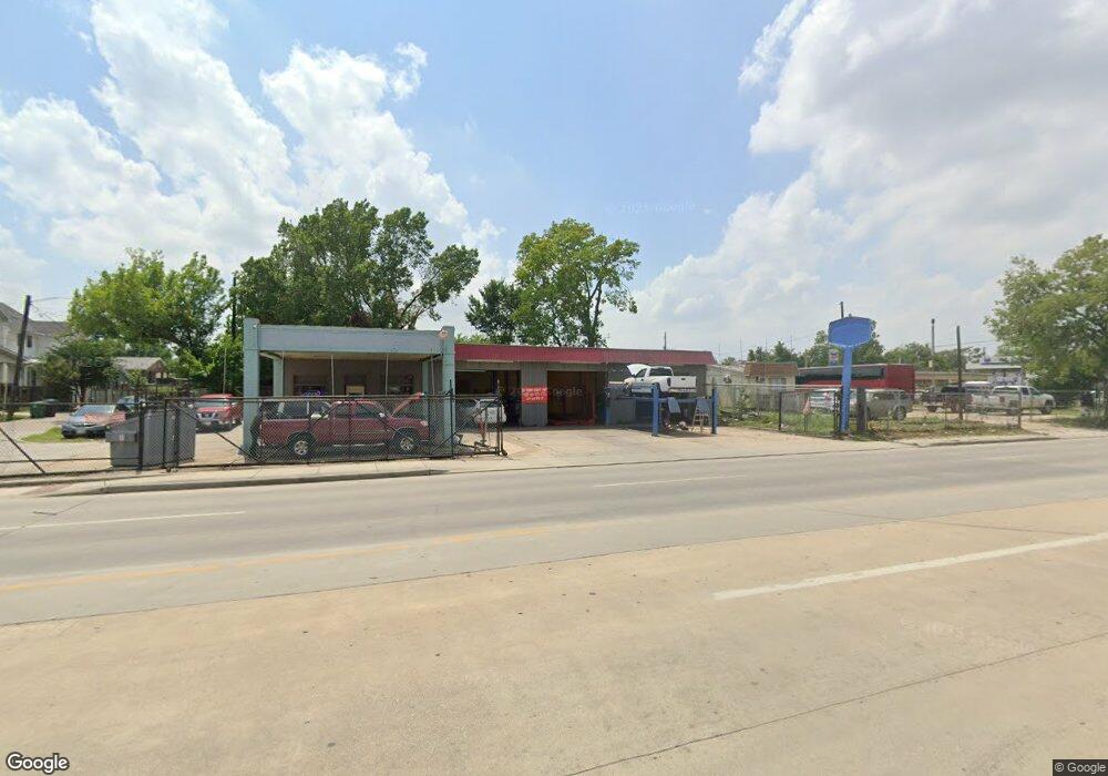
1827 Airline Dr Houston, TX 77009
Greater Heights Neighborhood
--
Bed
--
Bath
1,836
Sq Ft
10,019
Sq Ft Lot
About This Home
This home is located at 1827 Airline Dr, Houston, TX 77009. 1827 Airline Dr is a home located in Harris County with nearby schools including Field Elementary School, Hogg Middle, and Heights High School.
Ownership History
Date
Name
Owned For
Owner Type
Purchase Details
Closed on
Sep 18, 2025
Sold by
Giannakopoulos Starvos D
Bought by
Giannakopoulos Sandra Ann
Purchase Details
Closed on
Apr 6, 2017
Sold by
Nguyen Nhan Q
Bought by
Glannakopoulos Stavros D
Purchase Details
Closed on
Feb 28, 1994
Sold by
Bui Cu An and Bui Rose Vo Huong
Bought by
Vo Agnes Hoa and Vo Hoa Thi
Home Financials for this Owner
Home Financials are based on the most recent Mortgage that was taken out on this home.
Original Mortgage
$67,500
Interest Rate
7%
Mortgage Type
Seller Take Back
Create a Home Valuation Report for This Property
The Home Valuation Report is an in-depth analysis detailing your home's value as well as a comparison with similar homes in the area
Home Values in the Area
Average Home Value in this Area
Purchase History
| Date | Buyer | Sale Price | Title Company |
|---|---|---|---|
| Giannakopoulos Sandra Ann | -- | None Listed On Document | |
| Glannakopoulos Stavros D | -- | None Available | |
| Vo Agnes Hoa | -- | -- |
Source: Public Records
Mortgage History
| Date | Status | Borrower | Loan Amount |
|---|---|---|---|
| Previous Owner | Vo Agnes Hoa | $67,500 |
Source: Public Records
Tax History Compared to Growth
Tax History
| Year | Tax Paid | Tax Assessment Tax Assessment Total Assessment is a certain percentage of the fair market value that is determined by local assessors to be the total taxable value of land and additions on the property. | Land | Improvement |
|---|---|---|---|---|
| 2025 | $17,602 | $808,371 | $707,700 | $100,671 |
| 2024 | $17,602 | $808,362 | $707,700 | $100,662 |
| 2023 | $17,602 | $805,476 | $707,700 | $97,776 |
| 2022 | $12,525 | $568,845 | $485,280 | $83,565 |
| 2021 | $12,931 | $554,821 | $485,280 | $69,541 |
| 2020 | $13,269 | $547,964 | $485,280 | $62,684 |
| 2019 | $13,932 | $550,566 | $485,280 | $65,286 |
| 2018 | $9,865 | $389,855 | $353,850 | $36,005 |
| 2017 | $8,552 | $338,224 | $303,300 | $34,924 |
| 2016 | $8,098 | $338,303 | $303,300 | $35,003 |
| 2015 | $5,574 | $267,578 | $232,530 | $35,048 |
| 2014 | $5,574 | $208,728 | $174,398 | $34,330 |
Source: Public Records
Map
Nearby Homes
- 905 Kern St
- 1737 Airline Dr
- 1340 Idylwild St
- 1719 Redwing Pines Dr
- 738 Redwing Place Dr
- 1707 Redwing Cove Dr
- 1005 Kern St Unit C
- 1005 Kern St Unit B
- 1805 Emir St Unit G
- 1805 Emir St Unit D
- 1805 Emir St Unit L
- 1805 Emir St Unit E
- 1723 Redwing Ridge Dr
- 1718 Redwing Ridge Dr
- 931 Louise St
- 1611 Airline Dr
- 1213 Northwood St
- 1102 Winston St
- 1124 Dunbar St
- 1106 Robbie St
- 810 Kern St
- 813 W Cavalcade St
- 820 Kern St
- 811 Kern St
- 0 Kern Unit 38585434
- 815 Kern St
- 817 W Cavalcade St
- 819 Kern St
- 1802 Airline Dr
- 901 W Cavalcade St
- 902 Kern St
- 1530 Tyler St
- 1502 Tyler St
- 1522 Tyler St
- 903 Kern St
- 1717 Airline Dr Unit B
- 1717 Airline Dr Unit A
- 905 W Cavalcade St
- 1721 Airline Dr
- 910 Kern St