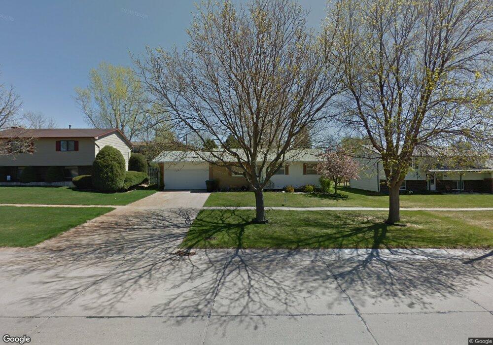
1827 Box Butte Ave Alliance, NE 69301
Estimated Value: $122,000 - $234,000
3
Beds
2
Baths
1,094
Sq Ft
$169/Sq Ft
Est. Value
About This Home
This home is located at 1827 Box Butte Ave, Alliance, NE 69301 and is currently estimated at $184,766, approximately $168 per square foot. 1827 Box Butte Ave is a home located in Box Butte County with nearby schools including Alliance High School, St. Agnes Academy, and Immanuel Evangelical Lutheran School.
Ownership History
Date
Name
Owned For
Owner Type
Purchase Details
Closed on
Jun 15, 2015
Sold by
Elizabeth Anderson
Bought by
Boness Brett D and Boness Teresa K
Current Estimated Value
Purchase Details
Closed on
Sep 28, 2011
Sold by
Olson Jodell M and Peters Tomas J
Bought by
Anderson Elizabeth and Pla-Redondo Jorge
Purchase Details
Closed on
Sep 26, 2011
Sold by
Olson Jodell M and Peters Thomas J
Bought by
Anderson Elizabeth and Pla-Redondo Jorge
Create a Home Valuation Report for This Property
The Home Valuation Report is an in-depth analysis detailing your home's value as well as a comparison with similar homes in the area
Home Values in the Area
Average Home Value in this Area
Purchase History
| Date | Buyer | Sale Price | Title Company |
|---|---|---|---|
| Boness Brett D | $119,000 | -- | |
| Anderson Elizabeth | -- | -- | |
| Anderson Elizabeth | -- | Kunzman Title |
Source: Public Records
Tax History Compared to Growth
Tax History
| Year | Tax Paid | Tax Assessment Tax Assessment Total Assessment is a certain percentage of the fair market value that is determined by local assessors to be the total taxable value of land and additions on the property. | Land | Improvement |
|---|---|---|---|---|
| 2024 | $2,064 | $164,764 | $9,204 | $155,560 |
| 2023 | $2,833 | $164,764 | $9,204 | $155,560 |
| 2022 | $2,465 | $135,364 | $8,284 | $127,080 |
| 2021 | $2,302 | $124,874 | $8,284 | $116,590 |
| 2020 | $2,295 | $124,874 | $8,284 | $116,590 |
| 2019 | $2,242 | $124,874 | $8,284 | $116,590 |
| 2018 | $2,231 | $124,874 | $8,284 | $116,590 |
| 2017 | $2,095 | $112,890 | $7,823 | $105,067 |
| 2016 | $2,071 | $112,892 | $7,825 | $105,067 |
| 2015 | $1,966 | $106,945 | $7,825 | $99,120 |
| 2014 | $1,966 | $106,943 | $7,823 | $99,120 |
Source: Public Records
Map
Nearby Homes
- 2039 Niobrara Ave
- 20th St Emerson Ave To Colorado Ave
- 1239 Toluca Ave
- 1019 Laramie Ave
- 1004 Missouri Ave
- 1120 Potash Ave
- 904 Laramie Ave
- 917 Missouri Ave
- 907 Toluca Ave
- 911 Emerson Ave
- 936 Platte Ave
- 1021 Dakota Ave
- 719 Toluca Ave
- 819 Black Hills Ave
- 667 E 9th St
- 615 Sweetwater Ave
- 621 Emerson Ave
- 719 E 8th St
- 613 Mississippi Ave
- 420 Laramie Ave
- 1821 Box Butte Ave
- 1833 Box Butte Ave
- 1828 Niobrara Ave
- 1834 Niobrara Ave
- 1822 Niobrara Ave
- 1815 Box Butte Ave
- 1839 Box Butte Ave
- 1816 Niobrara Ave
- 1840 Niobrara Ave
- 1809 Box Butte Ave
- 1845 Box Butte Ave
- 1846 Niobrara Ave
- 1810 Niobrara Ave
- 1827 Niobrara Ave
- 1833 Niobrara Ave
- 1821 Niobrara Ave
- 2003 Box Butte Ave
- 1803 Box Butte Ave
- 1839 Niobrara Ave
- 1815 Niobrara Ave