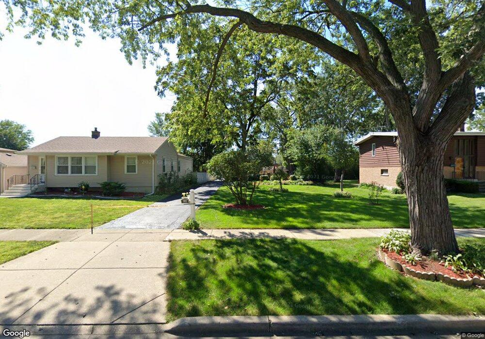
1827 E Lincoln Ave Des Plaines, IL 60018
Estimated Value: $256,000 - $343,545
5
Beds
3
Baths
880
Sq Ft
$359/Sq Ft
Est. Value
About This Home
This home is located at 1827 E Lincoln Ave, Des Plaines, IL 60018 and is currently estimated at $315,886, approximately $358 per square foot. 1827 E Lincoln Ave is a home located in Cook County with nearby schools including Central Elementary School, Chippewa Middle School, and Maine West High School.
Ownership History
Date
Name
Owned For
Owner Type
Purchase Details
Closed on
Oct 27, 2009
Sold by
Mayer Mark J
Bought by
Allen Patrick
Current Estimated Value
Home Financials for this Owner
Home Financials are based on the most recent Mortgage that was taken out on this home.
Original Mortgage
$176,739
Outstanding Balance
$114,173
Interest Rate
5.11%
Mortgage Type
FHA
Estimated Equity
$201,713
Create a Home Valuation Report for This Property
The Home Valuation Report is an in-depth analysis detailing your home's value as well as a comparison with similar homes in the area
Home Values in the Area
Average Home Value in this Area
Purchase History
| Date | Buyer | Sale Price | Title Company |
|---|---|---|---|
| Allen Patrick | $180,000 | Attorneys Title Guaranty Fun |
Source: Public Records
Mortgage History
| Date | Status | Borrower | Loan Amount |
|---|---|---|---|
| Open | Allen Patrick | $176,739 |
Source: Public Records
Tax History
| Year | Tax Paid | Tax Assessment Tax Assessment Total Assessment is a certain percentage of the fair market value that is determined by local assessors to be the total taxable value of land and additions on the property. | Land | Improvement |
|---|---|---|---|---|
| 2025 | $5,717 | $28,000 | $10,422 | $17,578 |
| 2024 | $5,717 | $25,000 | $9,264 | $15,736 |
| 2023 | $5,553 | $25,000 | $9,264 | $15,736 |
| 2022 | $5,553 | $25,000 | $9,264 | $15,736 |
| 2021 | $5,434 | $21,008 | $7,527 | $13,481 |
| 2020 | $5,411 | $21,008 | $7,527 | $13,481 |
| 2019 | $4,817 | $21,329 | $7,527 | $13,802 |
| 2018 | $4,802 | $19,492 | $6,658 | $12,834 |
| 2017 | $4,735 | $19,492 | $6,658 | $12,834 |
| 2016 | $4,723 | $19,492 | $6,658 | $12,834 |
| 2015 | $4,384 | $17,124 | $5,790 | $11,334 |
| 2014 | $4,308 | $17,124 | $5,790 | $11,334 |
| 2013 | $4,701 | $18,920 | $5,790 | $13,130 |
Source: Public Records
Map
Nearby Homes
- 1640 S River Rd
- 1990 Berry Ln
- 1700 E Forest Ave
- 1645 Illinois St
- 1689 S Elm St
- 1509 Center St
- 1445 Everett Ave
- 1630 Henry Ave
- 1638 Oakwood Ave
- 1922 Fargo Ave
- 1649 Ashland Ave Unit 501
- 1524 Oakwood Ave
- 1551 Ashland Ave Unit 306
- 1600 E Thacker St Unit 513
- 1380 Oakwood Ave Unit 306
- 1080 Bogart St
- 905 Center St Unit B208
- 900 Center St Unit 3A
- 700 Florence Dr
- 1541 Cooper St
- 1835 E Lincoln Ave
- 1815 E Lincoln Ave
- 1839 E Lincoln Ave
- 1803 E Lincoln Ave
- 1843 E Lincoln Ave
- 1808 E Lincoln Ave
- 1847 E Lincoln Ave
- 1542 Maple St
- 1853 E Lincoln Ave
- 1844 E Lincoln Ave
- 1509 Maple St
- 1783 E Lincoln Ave
- 1856 E Lincoln Ave
- 1556 S River Rd
- 1512 Maple St
- 1495 Maple St
- 1859 E Lincoln Ave
- 1792 E Oakton St
- 1518 S River Rd
- 1775 E Lincoln Ave
Your Personal Tour Guide
Ask me questions while you tour the home.