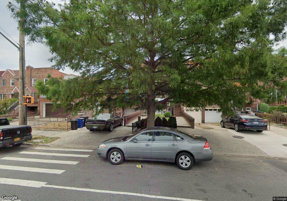
1827 Gerritsen Ave Brooklyn, NY 11229
Marine Park NeighborhoodEstimated Value: $878,000 - $978,000
--
Bed
--
Bath
1,620
Sq Ft
$569/Sq Ft
Est. Value
About This Home
This home is located at 1827 Gerritsen Ave, Brooklyn, NY 11229 and is currently estimated at $922,224, approximately $569 per square foot. 1827 Gerritsen Ave is a home located in Kings County with nearby schools including PS 222 Katherine R Snyder, J.H.S. 278 Marine Park, and James Madison High School.
Ownership History
Date
Name
Owned For
Owner Type
Purchase Details
Closed on
Aug 6, 2015
Sold by
Tacconi Kelly
Bought by
Tacconi Paul A
Current Estimated Value
Home Financials for this Owner
Home Financials are based on the most recent Mortgage that was taken out on this home.
Original Mortgage
$241,878
Outstanding Balance
$190,623
Interest Rate
4.09%
Mortgage Type
New Conventional
Estimated Equity
$731,601
Purchase Details
Closed on
Oct 14, 1998
Sold by
Tacconi Paul
Bought by
Tacconi Paul and Tacconi Kelly
Home Financials for this Owner
Home Financials are based on the most recent Mortgage that was taken out on this home.
Original Mortgage
$39,751
Interest Rate
6.7%
Purchase Details
Closed on
Dec 20, 1995
Sold by
Kronish Alan
Bought by
Tacconi Paul and Freilinger Kelly
Create a Home Valuation Report for This Property
The Home Valuation Report is an in-depth analysis detailing your home's value as well as a comparison with similar homes in the area
Home Values in the Area
Average Home Value in this Area
Purchase History
| Date | Buyer | Sale Price | Title Company |
|---|---|---|---|
| Tacconi Paul A | -- | -- | |
| Tacconi Paul | -- | Trw Title Insurance | |
| Tacconi Paul | $150,000 | Uslife Title Insurance Compa |
Source: Public Records
Mortgage History
| Date | Status | Borrower | Loan Amount |
|---|---|---|---|
| Open | Tacconi Paul A | $241,878 | |
| Previous Owner | Tacconi Paul | $39,751 | |
| Closed | Tacconi Paul | $180,000 |
Source: Public Records
Tax History Compared to Growth
Tax History
| Year | Tax Paid | Tax Assessment Tax Assessment Total Assessment is a certain percentage of the fair market value that is determined by local assessors to be the total taxable value of land and additions on the property. | Land | Improvement |
|---|---|---|---|---|
| 2025 | $7,755 | $52,320 | $11,460 | $40,860 |
| 2024 | $7,755 | $50,880 | $11,460 | $39,420 |
| 2023 | $7,842 | $54,180 | $11,460 | $42,720 |
| 2022 | $7,563 | $59,340 | $11,460 | $47,880 |
| 2021 | $7,511 | $51,120 | $11,460 | $39,660 |
| 2020 | $5,634 | $42,720 | $11,460 | $31,260 |
| 2019 | $6,682 | $46,080 | $11,460 | $34,620 |
| 2018 | $6,499 | $33,343 | $9,230 | $24,113 |
| 2017 | $6,380 | $32,770 | $9,795 | $22,975 |
| 2016 | $5,871 | $30,916 | $9,601 | $21,315 |
| 2015 | $3,509 | $29,168 | $8,910 | $20,258 |
| 2014 | $3,509 | $27,786 | $10,191 | $17,595 |
Source: Public Records
Map
Nearby Homes
- 2622 Fillmore Ave
- 1837 Burnett St
- 1746 Gerritsen Ave
- 3165 Nostrand Ave Unit 1N
- 3165 Nostrand Ave Unit 2L
- 3165 Nostrand Ave Unit 4P
- 3165 Nostrand Ave Unit 4V
- 3165 Nostrand Ave Unit 1G
- 3165 Nostrand Ave Unit 1S
- 3165 Nostrand Ave Unit 1P
- 1908 Gerritsen Ave
- 1848 Haring St
- 3178 Nostrand Ave Unit 1C
- 3178 Nostrand Ave Unit 1M
- 1882 Batchelder St
- 3203 Nostrand Ave Unit 4H
- 3203 Nostrand Ave Unit LB
- 1747 Stuart St
- 1711 Gerritsen Ave
- 1817 Madison Place
- 1829 Gerritsen Ave
- 1823 Gerritsen Ave
- 1833 Gerritsen Ave
- 1835 Gerritsen Ave
- 1819 Gerritsen Ave
- 1837 Gerritsen Ave
- 1817 Gerritsen Ave
- 1839 Gerritsen Ave
- 1828 Stuart St
- 1830 Stuart St
- 1826 Stuart St
- 1834 Stuart St
- 1824 Stuart St
- 1815 Gerritsen Ave
- 1836 Stuart St
- 1843 Gerritsen Ave
- 1838 Stuart St
- 1813 Gerritsen Ave
- 1820 Stuart St
- 1840 Stuart St