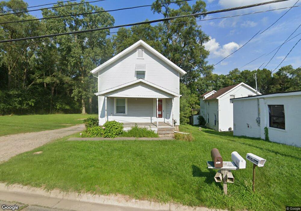
1827 Lansing Ave Jackson, MI 49202
Estimated Value: $111,000
2
Beds
2
Baths
1,215
Sq Ft
$91/Sq Ft
Est. Value
About This Home
This home is located at 1827 Lansing Ave, Jackson, MI 49202 and is currently priced at $111,000, approximately $91 per square foot. 1827 Lansing Ave is a home located in Jackson County with nearby schools including Hunt Elementary School, Middle School at Parkside, and Jackson High School.
Ownership History
Date
Name
Owned For
Owner Type
Purchase Details
Closed on
Jan 18, 2013
Sold by
Whittington P
Bought by
Kroepil Cahrlotte
Current Estimated Value
Purchase Details
Closed on
May 19, 2005
Sold by
Parzych Frank Jason
Bought by
Jp Morgan Chase Bank
Purchase Details
Closed on
Jun 26, 2003
Sold by
Stohler Richard S and Stuard Michele L
Bought by
Parzych Frank Jason
Home Financials for this Owner
Home Financials are based on the most recent Mortgage that was taken out on this home.
Original Mortgage
$65,250
Interest Rate
8.38%
Mortgage Type
Purchase Money Mortgage
Purchase Details
Closed on
Feb 1, 1993
Bought by
Stuard
Create a Home Valuation Report for This Property
The Home Valuation Report is an in-depth analysis detailing your home's value as well as a comparison with similar homes in the area
Home Values in the Area
Average Home Value in this Area
Purchase History
| Date | Buyer | Sale Price | Title Company |
|---|---|---|---|
| Kroepil Cahrlotte | -- | None Available | |
| Jp Morgan Chase Bank | -- | -- | |
| Parzych Frank Jason | $40,000 | Nations Title Of Louisiana | |
| Stuard | $6,000 | -- |
Source: Public Records
Mortgage History
| Date | Status | Borrower | Loan Amount |
|---|---|---|---|
| Previous Owner | Parzych Frank Jason | $65,250 |
Source: Public Records
Tax History
| Year | Tax Paid | Tax Assessment Tax Assessment Total Assessment is a certain percentage of the fair market value that is determined by local assessors to be the total taxable value of land and additions on the property. | Land | Improvement |
|---|---|---|---|---|
| 2025 | -- | $0 | $0 | $0 |
| 2024 | $962 | $0 | $0 | $0 |
| 2023 | $1,001 | $49,900 | $0 | $0 |
| 2022 | $962 | $38,700 | $0 | $0 |
| 2021 | $945 | $33,600 | $0 | $0 |
| 2020 | $936 | $31,100 | $0 | $0 |
| 2019 | $913 | $29,800 | $0 | $0 |
| 2018 | $838 | $28,200 | $0 | $0 |
| 2017 | $791 | $28,400 | $0 | $0 |
| 2016 | $524 | $25,223 | $25,223 | $0 |
| 2015 | $759 | $25,065 | $25,065 | $0 |
| 2014 | $759 | $23,753 | $0 | $0 |
| 2013 | -- | $23,753 | $23,753 | $0 |
Source: Public Records
Map
Nearby Homes
- 520 Andrew Ave
- 550 Royal Dr
- 951 W Monroe St
- 735 Royal Dr
- 431 Madison St
- 1105 Clinton Rd
- 1422 Cooper St
- 1012 Lansing Ave
- 0 Brookley Ave
- 939 Backus St
- 1302 Cooper St
- 121 Frost St
- 1135 Hamilton St
- 1114 Hamilton St
- 2013 Cooper St
- 919 Lincoln St
- 319 W North St
- 127 W Argyle St
- 1115 Cooper St
- 712 W North St
- 1823 Lansing Ave
- 1821 Lansing Ave
- 1820 Lansing Ave
- 1814 Lansing Ave
- 1814 Lansing Ave Unit LANSING
- 1699 Lansing Ave
- 500 Commonwealth Ave
- 516 Andrew Ave
- 430 Hillsdale St
- 519 Andrew Ave
- 506 Commonwealth Ave
- 1949 Lansing Ave Unit Suite B
- 1949 Lansing Ave
- 1949 Lansing Ave Unit E
- 1949 Lansing Ave
- 1949 Lansing Ave Unit A
- 1948 Lansing Ave
- 515 Royal Dr
- 526 Andrew Ave
- 512 Commonwealth Ave
Your Personal Tour Guide
Ask me questions while you tour the home.