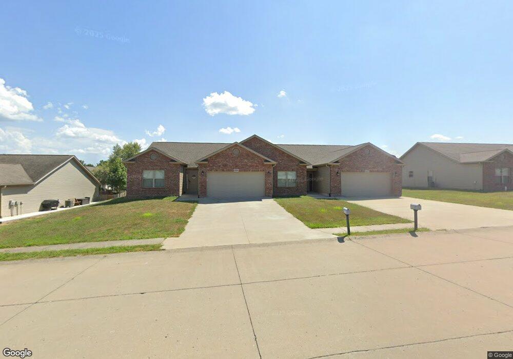
1827 Lewis Dr Jackson, MO 63755
Estimated Value: $93,000 - $378,000
About This Home
This home is located at 1827 Lewis Dr, Jackson, MO 63755 and is currently estimated at $277,668, approximately $200 per square foot. 1827 Lewis Dr is a home located in Cape Girardeau County with nearby schools including Russell Hawkins Junior High School, Jackson Senior High School, and St. Paul Lutheran School.
Ownership History
We collect this data history from publicly available records. To have your information removed, we recommend requesting removal directly through your county’s website.
Purchase Details
Purchase Details
Purchase Details
Purchase Details
Home Values in the Area
Average Home Value in this Area
Purchase History
We collect this data history from publicly available records. To have your information removed, we recommend requesting removal directly through your county’s website.
| Date | Buyer | Sale Price | Title Company |
|---|---|---|---|
| -- | None Available | ||
| -- | None Available | ||
| -- | None Available | ||
| -- | -- |
Tax History
We collect this data history from publicly available records. To have your information removed, we recommend requesting removal directly through your county’s website.
| Year | Tax Paid | Tax Assessment Tax Assessment Total Assessment is a certain percentage of the fair market value that is determined by local assessors to be the total taxable value of land and additions on the property. | Land | Improvement |
|---|---|---|---|---|
| 2025 | $1,729 | $33,820 | $3,750 | $30,070 |
| 2024 | $16 | $32,200 | $3,570 | $28,630 |
| 2023 | $1,645 | $32,200 | $3,570 | $28,630 |
| 2022 | $1,515 | $29,680 | $3,290 | $26,390 |
| 2021 | $1,515 | $29,680 | $3,290 | $26,390 |
| 2020 | $1,518 | $29,680 | $3,290 | $26,390 |
| 2019 | $1,515 | $29,680 | $0 | $0 |
| 2018 | $304 | $5,970 | $0 | $0 |
| 2017 | $305 | $5,970 | $0 | $0 |
| 2016 | $286 | $5,610 | $0 | $0 |
| 2015 | $286 | $5,610 | $0 | $0 |
| 2014 | $287 | $5,610 | $0 | $0 |
Map
- 936 N West Ln
- 846 & 848 Aaron Dr
- 349 N West Ln
- 133 Keystone Dr
- 828 Dorothy Dr
- 330 Briar Crest Dr
- 629 Sue Dr
- 224 W Vale Dr
- 236 W Vale Dr
- 519 Elm St
- 2634 Cortland Dr
- 1250 Indian Pkwy
- 212 Morgan St
- 312 Cathy Dr
- 616 W Adams St
- State Highway 72 Lot 3
- State Highway 72 Lot 1
- 403 N High St
- 710 N High St
- 612 Colorado St
- 1825 Lewis Dr Unit 1827
- 1823 Lewis
- 1828 Lewis Dr
- 1821 Lewis Dr
- 871 Broadridge Dr Unit 873
- 1835 Lewis Dr
- 1826 Lewis Dr
- 1830 Lewis Dr
- 1096 Aaron Dr
- 869 Broadridge Dr
- 1836 Lewis Dr
- 1099 Aaron Dr
- 867 Broadridge Dr
- 1838 Lewis Dr
- 1657 W Independence St
- 863 Broadridge Dr Unit 865
- 863 Broadridge Dr
- 1091 Aaron Dr
- 1653 W Independence St
- 1078 Aaron Dr
Ask me questions while you tour the home.