Estimated Value: $427,000 - $524,000
3
Beds
2
Baths
3,344
Sq Ft
$142/Sq Ft
Est. Value
About This Home
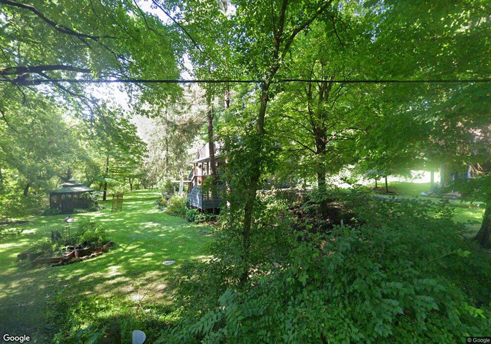
This home is located at 1827 Stone Rd, Xenia, OH 45385 and is currently estimated at $475,773, approximately $142 per square foot. 1827 Stone Rd is a home located in Greene County with nearby schools including Xenia High School and Legacy Christian Academy.
Ownership History
Date
Name
Owned For
Owner Type
Purchase Details
Closed on
Jan 4, 2019
Sold by
Bashore Karen S
Bought by
Mclaughlin Mary E and Mclaughlin Daniel R
Current Estimated Value
Home Financials for this Owner
Home Financials are based on the most recent Mortgage that was taken out on this home.
Original Mortgage
$213,000
Outstanding Balance
$162,316
Interest Rate
4.6%
Mortgage Type
New Conventional
Estimated Equity
$313,457
Purchase Details
Closed on
Aug 9, 2002
Sold by
Beason Charles A
Bought by
Bashore John H and Bashore Karen S
Purchase Details
Closed on
Jun 11, 1998
Sold by
Evans Geraldine R and Rickey Howard
Bought by
Beason Charles A
Home Financials for this Owner
Home Financials are based on the most recent Mortgage that was taken out on this home.
Original Mortgage
$70,000
Interest Rate
6.98%
Create a Home Valuation Report for This Property
The Home Valuation Report is an in-depth analysis detailing your home's value as well as a comparison with similar homes in the area
Home Values in the Area
Average Home Value in this Area
Purchase History
| Date | Buyer | Sale Price | Title Company |
|---|---|---|---|
| Mclaughlin Mary E | $285,000 | None Available | |
| Bashore John H | $213,500 | -- | |
| Beason Charles A | $170,000 | -- |
Source: Public Records
Mortgage History
| Date | Status | Borrower | Loan Amount |
|---|---|---|---|
| Open | Mclaughlin Mary E | $213,000 | |
| Previous Owner | Beason Charles A | $70,000 |
Source: Public Records
Tax History Compared to Growth
Tax History
| Year | Tax Paid | Tax Assessment Tax Assessment Total Assessment is a certain percentage of the fair market value that is determined by local assessors to be the total taxable value of land and additions on the property. | Land | Improvement |
|---|---|---|---|---|
| 2024 | $6,212 | $133,140 | $12,350 | $120,790 |
| 2023 | $6,212 | $133,140 | $12,350 | $120,790 |
| 2022 | $5,158 | $93,590 | $11,290 | $82,300 |
| 2021 | $5,221 | $93,590 | $11,290 | $82,300 |
| 2020 | $4,835 | $93,590 | $11,290 | $82,300 |
| 2019 | $3,516 | $72,740 | $9,880 | $62,860 |
| 2018 | $3,529 | $72,740 | $9,880 | $62,860 |
| 2017 | $3,434 | $72,740 | $9,880 | $62,860 |
| 2016 | $3,557 | $72,240 | $9,170 | $63,070 |
| 2015 | $3,471 | $72,240 | $9,170 | $63,070 |
| 2014 | $1,664 | $72,240 | $9,170 | $63,070 |
Source: Public Records
Map
Nearby Homes
- 1293 Gultice Rd
- 1736 Winchester Rd
- 2400 U S 68
- 2783 Us Route 68 S
- 966 U S 68
- 0 U S 68
- 841 Paintersville New Jasp Rd
- 01 Jasper Rd
- 0 Gultice Rd Unit 940427
- 2268 E Spring Valley Paintersville Rd
- 0 Jasper Rd Unit 931350
- 260 Pocahontas St
- 1319 Arlington Dr
- 3710 N Lakeshore Dr
- 46 Lake St
- 100 Prugh Ave
- 1293 E Main St
- 373 Hill St
- 222 Washington St
- 654 E 3rd St
- 1824 Ireland Rd
- 1811 Stone Rd
- 1850 Stone Rd
- 0 Stone Rd Unit 2736788
- 0 Stone Rd Unit 2736785
- 0 Stone Rd Unit 2736782
- 0 Stone Rd Unit 2623430
- 0 Stone Rd Unit 2623428
- 0 Stone Rd Unit 1468516
- 1881 Stone Rd
- 1811 Ireland Rd
- 1897 Stone Rd
- 000 Stone Rd
- 00 Stone Rd
- 1717 Stone Rd
- 1786 Ireland Rd
- 1783 Ireland Rd
- 1766 Needmore Rd
- 1673 Stone Rd
- 1768 Ireland Rd