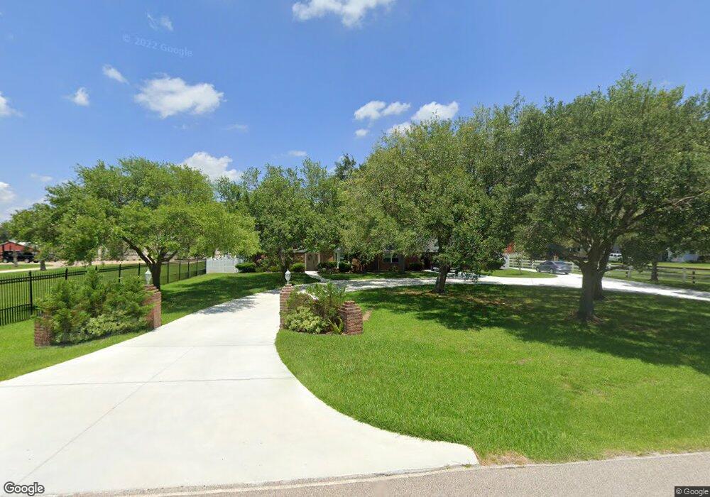
1827 Westfield Ln Friendswood, TX 77546
West Friendswood NeighborhoodEstimated Value: $671,000 - $977,059
5
Beds
4
Baths
4,331
Sq Ft
$193/Sq Ft
Est. Value
About This Home
This home is located at 1827 Westfield Ln, Friendswood, TX 77546 and is currently estimated at $836,765, approximately $193 per square foot. 1827 Westfield Ln is a home located in Brazoria County with nearby schools including Rustic Oak Elementary School, Alexander Middle School, and Pearland Junior High School East.
Ownership History
Date
Name
Owned For
Owner Type
Purchase Details
Closed on
Jan 26, 2007
Sold by
Anderson Donald H and Anderson Ginny R
Bought by
Spencer Anthony E and Spencer Lisa L
Current Estimated Value
Home Financials for this Owner
Home Financials are based on the most recent Mortgage that was taken out on this home.
Original Mortgage
$393,200
Outstanding Balance
$235,902
Interest Rate
6.19%
Mortgage Type
Purchase Money Mortgage
Estimated Equity
$600,863
Purchase Details
Closed on
Dec 11, 1995
Sold by
Rowe David C and Rowe Richard W
Bought by
Anderson Donald H and Anderson Ginny R
Home Financials for this Owner
Home Financials are based on the most recent Mortgage that was taken out on this home.
Original Mortgage
$164,500
Interest Rate
7.41%
Create a Home Valuation Report for This Property
The Home Valuation Report is an in-depth analysis detailing your home's value as well as a comparison with similar homes in the area
Home Values in the Area
Average Home Value in this Area
Purchase History
| Date | Buyer | Sale Price | Title Company |
|---|---|---|---|
| Spencer Anthony E | -- | Lawyers Title Galveston | |
| Anderson Donald H | -- | First American Title Ins Co |
Source: Public Records
Mortgage History
| Date | Status | Borrower | Loan Amount |
|---|---|---|---|
| Open | Spencer Anthony E | $393,200 | |
| Previous Owner | Anderson Donald H | $164,500 |
Source: Public Records
Tax History Compared to Growth
Tax History
| Year | Tax Paid | Tax Assessment Tax Assessment Total Assessment is a certain percentage of the fair market value that is determined by local assessors to be the total taxable value of land and additions on the property. | Land | Improvement |
|---|---|---|---|---|
| 2025 | $10,977 | $942,440 | $196,560 | $745,880 |
| 2023 | $10,977 | $785,254 | $195,750 | $686,150 |
| 2022 | $13,434 | $713,867 | $195,750 | $577,680 |
| 2021 | $12,697 | $648,970 | $169,650 | $479,320 |
| 2020 | $12,245 | $625,780 | $156,600 | $469,180 |
| 2019 | $12,149 | $610,670 | $156,600 | $454,070 |
| 2018 | $12,178 | $608,360 | $169,650 | $438,710 |
| 2017 | $13,233 | $656,740 | $182,700 | $474,040 |
| 2016 | $12,030 | $595,840 | $121,800 | $474,040 |
| 2015 | $9,928 | $550,190 | $87,000 | $463,190 |
| 2014 | $9,928 | $530,670 | $87,000 | $443,670 |
Source: Public Records
Map
Nearby Homes
- 101 Westfield Ln
- 17810 County Road 125
- 17903 County Road 125
- 1040 Glenview Dr
- 0 Cr 124 Unit 13541782
- 1108 Chesterwood Dr
- 1107 Chesterwood Dr
- 1003 Glenview Dr
- 1013 Chesterwood Dr
- 18118 County Road 125
- 310 Rustic Ln
- 1211 Woodchase Dr
- 3910 Kimberly Dr
- 801 Meadow Lark Ave
- 18120 County Road 127
- 0 County Road 130
- 2243 County Road 130
- 3901 Kimberly Dr
- 514 Bellmar Ln
- 153 Mooney Rd
- 925 Anna Ln
- 1924 Westfield Ln
- 614 Westfield Ln
- 923 Anna Ln
- 926 Anna Ln
- 512 Westfield Ln
- 1936 Westfield Ln
- 1936 Westfield Ln
- 1840 Westfield Ln
- 920 Anna Ln
- 921 Anna Ln
- 617 Westfield Ln
- 918 Anna Ln
- 2229 Baratt Rd
- 913 Anna Ln
- 611A Westfield Ln
- 1945 Westfield Ln
- 2425 Baratt Rd
- 1817 Westfield Ln
- 912 Anna Ln