1827 Wild Cherry Ln New Philadelphia, OH 44663
Estimated Value: $340,372 - $418,000
4
Beds
3
Baths
2,076
Sq Ft
$183/Sq Ft
Est. Value
About This Home
This home is located at 1827 Wild Cherry Ln, New Philadelphia, OH 44663 and is currently estimated at $379,343, approximately $182 per square foot. 1827 Wild Cherry Ln is a home located in Tuscarawas County with nearby schools including New Philadelphia High School, Indian Hills Christian School, and Tuscarawas Central Catholic Elementary School.
Ownership History
Date
Name
Owned For
Owner Type
Purchase Details
Closed on
Apr 22, 2019
Sold by
Dusenberry Rocky L
Bought by
Dusenberry Michelle L
Current Estimated Value
Purchase Details
Closed on
Jul 27, 2001
Sold by
Trst Terry R Sauser
Bought by
Dusenberry Rocky L and Dusenberry Michelle L
Home Financials for this Owner
Home Financials are based on the most recent Mortgage that was taken out on this home.
Original Mortgage
$144,000
Outstanding Balance
$56,213
Interest Rate
7.16%
Mortgage Type
New Conventional
Estimated Equity
$323,130
Create a Home Valuation Report for This Property
The Home Valuation Report is an in-depth analysis detailing your home's value as well as a comparison with similar homes in the area
Home Values in the Area
Average Home Value in this Area
Purchase History
| Date | Buyer | Sale Price | Title Company |
|---|---|---|---|
| Dusenberry Michelle L | -- | None Available | |
| Dusenberry Rocky L | $20,500 | -- |
Source: Public Records
Mortgage History
| Date | Status | Borrower | Loan Amount |
|---|---|---|---|
| Open | Dusenberry Rocky L | $144,000 |
Source: Public Records
Tax History Compared to Growth
Tax History
| Year | Tax Paid | Tax Assessment Tax Assessment Total Assessment is a certain percentage of the fair market value that is determined by local assessors to be the total taxable value of land and additions on the property. | Land | Improvement |
|---|---|---|---|---|
| 2024 | $3,021 | $73,427 | $9,398 | $64,029 |
| 2023 | $3,021 | $209,790 | $26,850 | $182,940 |
| 2022 | $3,039 | $73,427 | $9,398 | $64,029 |
| 2021 | $3,458 | $80,210 | $13,724 | $66,486 |
| 2020 | $3,432 | $80,210 | $13,724 | $66,486 |
| 2019 | $3,499 | $80,210 | $13,724 | $66,486 |
| 2018 | $3,133 | $68,260 | $11,680 | $56,580 |
| 2017 | $3,109 | $68,260 | $11,680 | $56,580 |
| 2016 | $3,189 | $68,260 | $11,680 | $56,580 |
| 2014 | $3,049 | $62,420 | $10,340 | $52,080 |
| 2013 | $2,549 | $62,420 | $10,340 | $52,080 |
Source: Public Records
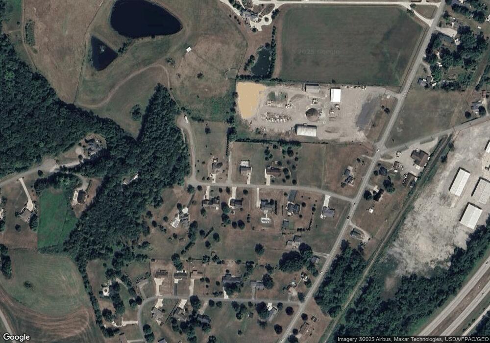
Map
Nearby Homes
- 3265 Yorkview Rd SW
- 1024 Thomas Dr SW
- 475 Lockport Ave SW
- 1075 Grant Ave NW
- 902 W High Ave
- 1063 Grant Ave NW
- 1592 Pleasant View Dr NW
- 944 Grant Ave NW
- 651 Front Ave SW
- 614 10th Dr NW
- 161 York Dr SE
- 635 Jordan Dr NW
- 514 Front Ave SW
- 231 York Dr SE
- 836 Miller Ave NW
- 1033 College Ave NW
- 405 Front Ave SW
- 1166 S Broadway St
- 1155 12th St NW
- 241 Saint Clair Ave SW
- 1789 Wild Cherry Ln
- 1915 Wild Cherry Ln
- 1838 Wild Cherry Ln
- 1804 Wild Cherry Ln
- 1870 Wild Cherry Ln
- 1770 Wild Cherry Ln
- 1963 Wild Cherry Ln
- 1926 Wild Cherry Ln
- 1888 Wild Cherry Ln
- 492 Stonecreek Rd SW
- 1728 Wild Cherry Ln
- 440 Stonecreek Rd SW
- 508 Stonecreek Rd SW
- 1759 Circle Dr SW
- 1754 Circle Dr SW
- 1775 Circle Dr SW
- 526 Stonecreek Rd SW
- 479 Stonecreek Rd SW
- 1783 Circle Dr SW
- 443 Stonecreek Rd SW