1828 Bayshore Rd Lopez Island, WA 98261
Estimated Value: $1,105,000 - $1,702,000
4
Beds
1
Bath
1,850
Sq Ft
$714/Sq Ft
Est. Value
About This Home
This home is located at 1828 Bayshore Rd, Lopez Island, WA 98261 and is currently estimated at $1,320,880, approximately $713 per square foot. 1828 Bayshore Rd is a home located in San Juan County with nearby schools including Lopez Elementary School and Lopez Middle High School.
Ownership History
Date
Name
Owned For
Owner Type
Purchase Details
Closed on
May 15, 2020
Sold by
Haft Phillip and Chao Emily Kay
Bought by
Haft Phillip and Chao Emily Kay
Current Estimated Value
Purchase Details
Closed on
Feb 7, 2011
Sold by
Haft Phillip and Chao Emily Kay
Bought by
Haft Phillip and Chao Emily Kay
Home Financials for this Owner
Home Financials are based on the most recent Mortgage that was taken out on this home.
Original Mortgage
$417,000
Outstanding Balance
$16,119
Interest Rate
4.84%
Mortgage Type
New Conventional
Estimated Equity
$1,304,761
Purchase Details
Closed on
Aug 2, 2006
Sold by
Chao Emily Kay and Haft Phillip
Bought by
Haft Phillip and Chao Emily Kay
Create a Home Valuation Report for This Property
The Home Valuation Report is an in-depth analysis detailing your home's value as well as a comparison with similar homes in the area
Home Values in the Area
Average Home Value in this Area
Purchase History
| Date | Buyer | Sale Price | Title Company |
|---|---|---|---|
| Haft Phillip | -- | None Available | |
| Haft Phillip | -- | San Juan Title | |
| Haft Phillip | -- | None Available |
Source: Public Records
Mortgage History
| Date | Status | Borrower | Loan Amount |
|---|---|---|---|
| Open | Haft Phillip | $417,000 |
Source: Public Records
Tax History Compared to Growth
Tax History
| Year | Tax Paid | Tax Assessment Tax Assessment Total Assessment is a certain percentage of the fair market value that is determined by local assessors to be the total taxable value of land and additions on the property. | Land | Improvement |
|---|---|---|---|---|
| 2024 | $8,467 | $1,101,670 | $337,430 | $764,240 |
| 2023 | $8,467 | $1,434,330 | $337,430 | $1,096,900 |
| 2022 | $5,839 | $1,105,750 | $337,510 | $768,240 |
| 2021 | $4,687 | $740,270 | $306,900 | $433,370 |
| 2020 | $4,648 | $599,990 | $279,000 | $320,990 |
| 2019 | $4,546 | $599,920 | $278,930 | $320,990 |
| 2018 | $4,969 | $863,690 | $586,800 | $276,890 |
| 2017 | $3,864 | $596,640 | $314,220 | $282,420 |
| 2016 | $2,815 | $550,620 | $330,760 | $219,860 |
| 2015 | $2,815 | $554,550 | $330,760 | $223,790 |
| 2014 | $2,815 | $554,050 | $330,840 | $223,210 |
| 2012 | $2,815 | $498,210 | $300,760 | $197,450 |
Source: Public Records
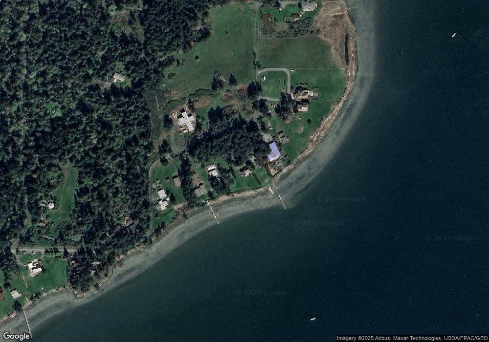
Map
Nearby Homes
- 1794 Bayshore Rd
- 1898 Bayshore Rd
- 295 Rum Runner Rd
- 4 Rum Runner Rd
- 583 Rum Runner Rd
- 268 Rum Runner Rd
- 65 Dolphin Ln
- 27 Dryad Place
- 315 Mariner Dr
- 353 Davies Dr
- 95 Weeks Rd
- 104 Estenson Rd
- 140 Sweetbrier Ln
- 1486 Center Rd
- 0 Channel Rd Unit NWM2377246
- 472 Redtail Ln
- 123 School Rd
- 5621 Fisherman Bay Rd
- 230 Gem Farm Ln
- 317 Eagles Roost Ln
- 1846 Bayshore Rd
- 1822 Bayshore Rd
- 1874 Bayshore Rd
- 20 Orcutt Ln
- 0 Orcutt Ln
- 1776 Bayshore Rd
- 47 Orcutt Ln
- 1916 Bayshore Rd
- 1712 Bayshore Rd
- 1712 Bayshore Rd
- 1603 Bayshore Rd
- 180 Williams Ln
- 102 Williams Bayshore Ln
- 1600 Bayshore Rd
- 2000 Bayshore Rd
- 71 Mongoose Ln
- 1564 Bayshore Rd
- 37 Mongoose Ln
- 1518 Bayshore Rd
- 379 Williams Ln