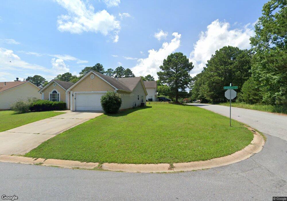
1828 Bridgeport Ln Unit 2 Hampton, GA 30228
Estimated Value: $231,000 - $244,000
3
Beds
2
Baths
1,628
Sq Ft
$146/Sq Ft
Est. Value
About This Home
This home is located at 1828 Bridgeport Ln Unit 2, Hampton, GA 30228 and is currently estimated at $237,621, approximately $145 per square foot. 1828 Bridgeport Ln Unit 2 is a home located in Clayton County with nearby schools including Kemp Primary School, Kemp Elementary School, and Lovejoy Middle School.
Ownership History
Date
Name
Owned For
Owner Type
Purchase Details
Closed on
Dec 10, 2021
Sold by
Crowe Johnafel A
Bought by
Master Key Investments Llc
Current Estimated Value
Home Financials for this Owner
Home Financials are based on the most recent Mortgage that was taken out on this home.
Original Mortgage
$171,733
Interest Rate
2.98%
Mortgage Type
New Conventional
Purchase Details
Closed on
Apr 15, 1999
Sold by
Peacthree Homes Inc
Bought by
Crowe Johnafel A
Home Financials for this Owner
Home Financials are based on the most recent Mortgage that was taken out on this home.
Original Mortgage
$107,100
Interest Rate
7.06%
Mortgage Type
FHA
Create a Home Valuation Report for This Property
The Home Valuation Report is an in-depth analysis detailing your home's value as well as a comparison with similar homes in the area
Home Values in the Area
Average Home Value in this Area
Purchase History
| Date | Buyer | Sale Price | Title Company |
|---|---|---|---|
| Master Key Investments Llc | $170,000 | -- | |
| Crowe Johnafel A | $107,600 | -- |
Source: Public Records
Mortgage History
| Date | Status | Borrower | Loan Amount |
|---|---|---|---|
| Previous Owner | Master Key Investments Llc | $171,733 | |
| Previous Owner | Crowe Johnafel A | $107,100 |
Source: Public Records
Tax History Compared to Growth
Tax History
| Year | Tax Paid | Tax Assessment Tax Assessment Total Assessment is a certain percentage of the fair market value that is determined by local assessors to be the total taxable value of land and additions on the property. | Land | Improvement |
|---|---|---|---|---|
| 2025 | $3,681 | $95,200 | $7,200 | $88,000 |
| 2024 | $3,749 | $95,200 | $7,200 | $88,000 |
| 2023 | $3,472 | $95,200 | $7,200 | $88,000 |
| 2022 | $2,850 | $71,720 | $7,200 | $64,520 |
| 2021 | $2,398 | $59,840 | $7,200 | $52,640 |
| 2020 | $2,265 | $55,760 | $7,200 | $48,560 |
| 2019 | $1,948 | $47,114 | $6,800 | $40,314 |
| 2018 | $1,760 | $42,496 | $6,800 | $35,696 |
| 2017 | $1,485 | $35,639 | $6,800 | $28,839 |
| 2016 | $1,536 | $36,893 | $6,800 | $30,093 |
| 2015 | $1,353 | $0 | $0 | $0 |
| 2014 | $1,096 | $26,668 | $6,800 | $19,868 |
Source: Public Records
Map
Nearby Homes
- 1683 Spoonbill Rd
- 1741 Portwest Way
- 1685 Kinglet Rd
- 10959 Thrasher Rd
- 1739 Cardinal Rd
- 11005 Regents Ct
- 10996 Shannon Cir
- 11057 Aliyah Dr
- 11045 Knotty Pine Place
- 10664 Sandpiper Rd
- 1579 Leonard St
- 1558 Leonard St
- 11059 Sedalia Way
- 1646 Flicker Rd
- 11187 Shannon Cir
- 11179 Knotty Pine Place Unit I
- 1432 Shadow Creek Ave
- 11224 Aliyah Dr
- 1590 Flicker Rd
- 10448 Tara Pointe Dr
- 1828 Bridgeport Ln
- 1820 Bridgeport Ln Unit 2
- 1851 Portwest Way
- 1817 Bridgeport Ln
- 1864 Portwest Way
- 1872 Portwest Way
- 1856 Portwest Way
- 1825 Bridgeport Ln
- 1713 Pheasant Dr
- 1848 Portwest Way
- 1839 Portwest Way
- 1900 Portwest Way
- 1747 Pheasant Dr
- 1747 Pheasant Dr
- 1747 Pheasant Dr
- 1806 Portwest Way
- 1707 Pheasant Dr
- 1798 Portwest Way
- 1906 Portwest Way
- 1695 Spoonbill Rd