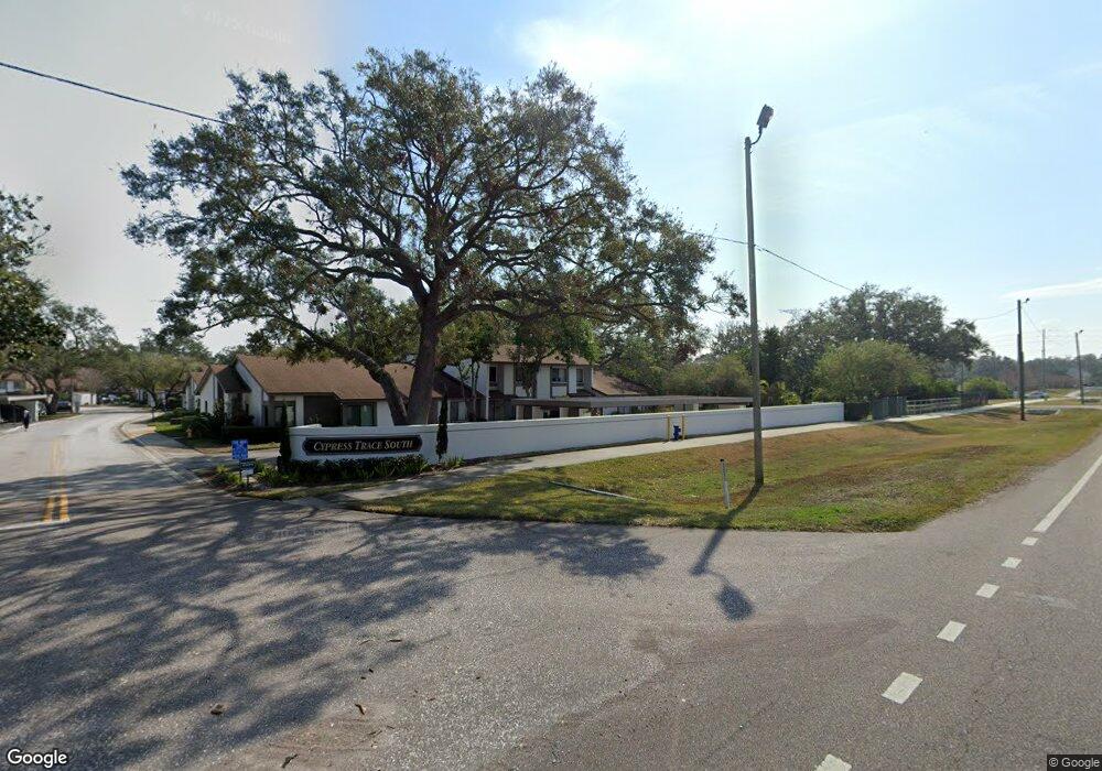
1828 Cypress Trace Dr Unit 1828 Safety Harbor, FL 34695
Estimated Value: $285,000 - $350,000
2
Beds
2
Baths
1,337
Sq Ft
$232/Sq Ft
Est. Value
About This Home
This home is located at 1828 Cypress Trace Dr Unit 1828, Safety Harbor, FL 34695 and is currently estimated at $309,680, approximately $231 per square foot. 1828 Cypress Trace Dr Unit 1828 is a home located in Pinellas County with nearby schools including Countryside High School, Safety Harbor Elementary School, and Safety Harbor Middle School.
Ownership History
Date
Name
Owned For
Owner Type
Purchase Details
Closed on
Nov 18, 2016
Sold by
Querubin Patricia
Bought by
Schoen Joan H
Current Estimated Value
Purchase Details
Closed on
Jan 23, 2015
Sold by
Ltd Family Trust Llc
Bought by
Querubin Patricia
Purchase Details
Closed on
Oct 15, 2014
Sold by
Cypress Trace Homeowners Association Inc
Bought by
Ltd Family Trust Llc
Purchase Details
Closed on
Dec 18, 1996
Sold by
Wright William W and Wright Helen L
Bought by
Senger Charles G and Senger Linda B
Home Financials for this Owner
Home Financials are based on the most recent Mortgage that was taken out on this home.
Original Mortgage
$64,000
Interest Rate
7.65%
Mortgage Type
New Conventional
Create a Home Valuation Report for This Property
The Home Valuation Report is an in-depth analysis detailing your home's value as well as a comparison with similar homes in the area
Home Values in the Area
Average Home Value in this Area
Purchase History
| Date | Buyer | Sale Price | Title Company |
|---|---|---|---|
| Schoen Joan H | $153,000 | Sunbelt Title Agency | |
| Querubin Patricia | $115,000 | The Whitworth Title Group In | |
| Ltd Family Trust Llc | $86,400 | None Available | |
| Senger Charles G | $74,000 | -- |
Source: Public Records
Mortgage History
| Date | Status | Borrower | Loan Amount |
|---|---|---|---|
| Previous Owner | Senger Charles G | $64,000 |
Source: Public Records
Tax History Compared to Growth
Tax History
| Year | Tax Paid | Tax Assessment Tax Assessment Total Assessment is a certain percentage of the fair market value that is determined by local assessors to be the total taxable value of land and additions on the property. | Land | Improvement |
|---|---|---|---|---|
| 2024 | $3,905 | $258,514 | -- | $258,514 |
| 2023 | $3,905 | $248,371 | $0 | $248,371 |
| 2022 | $3,578 | $226,534 | $0 | $226,534 |
| 2021 | $3,232 | $177,044 | $0 | $0 |
| 2020 | $2,975 | $160,103 | $0 | $0 |
| 2019 | $2,768 | $147,593 | $0 | $147,593 |
| 2018 | $2,796 | $147,846 | $0 | $0 |
| 2017 | $2,712 | $141,172 | $0 | $0 |
| 2016 | $2,149 | $110,134 | $0 | $0 |
| 2015 | $2,415 | $120,364 | $0 | $0 |
| 2014 | $742 | $77,070 | $0 | $0 |
Source: Public Records
Map
Nearby Homes
- 1735 Lake Cypress Dr Unit 1703
- 19 Harbor Oaks Cir
- 3037 Crest Dr
- 34 Harbor Oaks Cir
- 0 Dr Ml King Jr St N
- 2356 Messenger Cir
- 304 Los Prados Dr Unit 512
- 3036 Homestead Ct
- 3064 Homestead Oaks Dr
- 247 Los Prados Dr Unit 1123
- 217 Los Prados Dr Unit 217
- 614 Pine St
- 269 Los Prados Dr Unit 1011
- 110 Woodcreek Dr S
- 2939 Chancery Ln
- 2917 Chancery Ln
- 1155 7th St N
- 1709 Main St
- 3084 Marlo Blvd
- 931 Woodbridge Ct
- 1828 Cypress Trace Dr
- 1832 Cypress Trace Dr
- 1834 Cypress Trace Dr
- 1822 Cypress Trace Dr
- 1836 Cypress Trace Dr Unit 1836
- 1836 Cypress Trace Dr Unit n/a
- 1820 Cypress Trace Dr
- 1824 Cypress Trace Dr
- 1826 Cypress Trace Dr
- 1818 Cypress Trace Dr
- 1818 Cypress Trace Dr Unit 1818
- 1816 Cypress Trace Dr
- 1816 Cypress Trace Dr Unit 1816
- 1827 Cypress Trace Dr
- 1825 Cypress Trace Dr
- 1825 Cypress Trace Dr Unit 1825
- 1831 Cypress Trace Dr
- 1831 Cypress Trace Dr Unit 1831
- 1823 Cypress Trace Dr
- 1812 Cypress Trace Dr