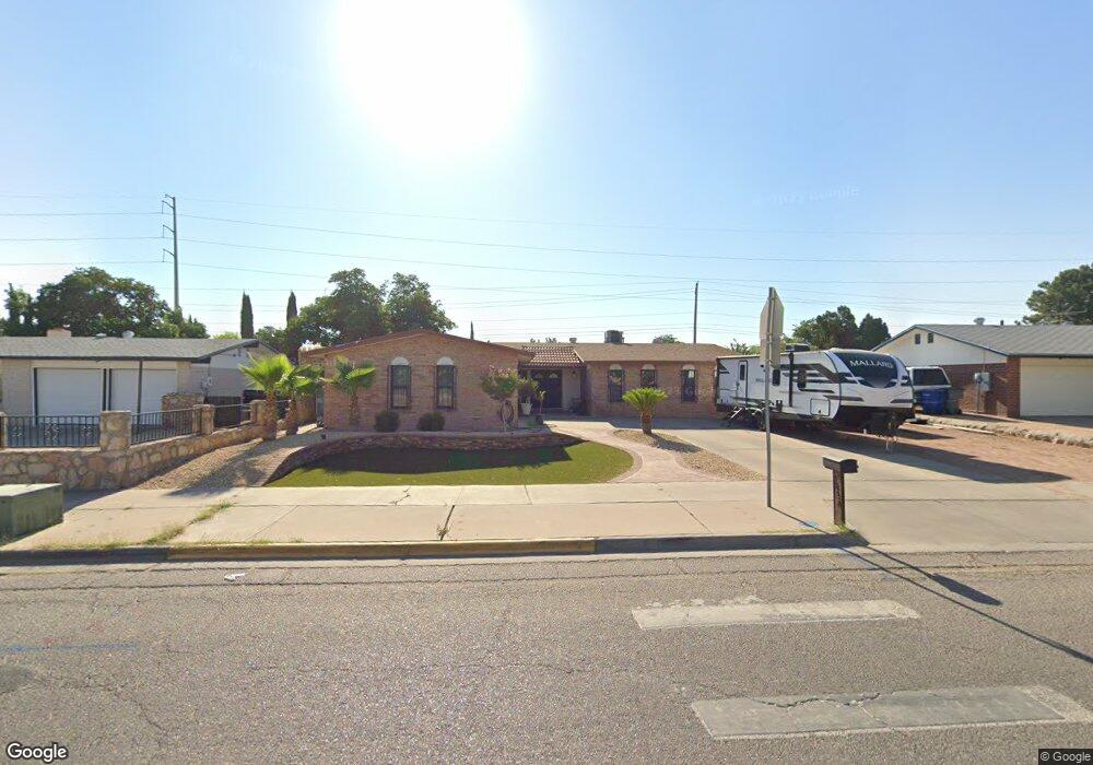
1828 Dale Douglas Dr El Paso, TX 79936
Vista Del Sol NeighborhoodEstimated Value: $249,537 - $259,000
--
Bed
2
Baths
1,757
Sq Ft
$144/Sq Ft
Est. Value
About This Home
This home is located at 1828 Dale Douglas Dr, El Paso, TX 79936 and is currently estimated at $253,634, approximately $144 per square foot. 1828 Dale Douglas Dr is a home located in El Paso County with nearby schools including Tierra Del Sol Elementary School, J M Hanks High School, and EL PASO LEADERSHIP ACADEMY - MIDDLE EAST.
Ownership History
Date
Name
Owned For
Owner Type
Purchase Details
Closed on
Feb 29, 2016
Sold by
Foght Louis J
Bought by
Foght Shannon K
Current Estimated Value
Home Financials for this Owner
Home Financials are based on the most recent Mortgage that was taken out on this home.
Original Mortgage
$135,000
Interest Rate
3.81%
Mortgage Type
Purchase Money Mortgage
Purchase Details
Closed on
Jun 7, 2013
Sold by
Foght Louis J
Bought by
Foght Louis J and Foght Carmen C
Create a Home Valuation Report for This Property
The Home Valuation Report is an in-depth analysis detailing your home's value as well as a comparison with similar homes in the area
Home Values in the Area
Average Home Value in this Area
Purchase History
| Date | Buyer | Sale Price | Title Company |
|---|---|---|---|
| Foght Shannon K | -- | None Available | |
| Foght Louis J | -- | None Available |
Source: Public Records
Mortgage History
| Date | Status | Borrower | Loan Amount |
|---|---|---|---|
| Closed | Foght Shannon K | $135,000 |
Source: Public Records
Tax History Compared to Growth
Tax History
| Year | Tax Paid | Tax Assessment Tax Assessment Total Assessment is a certain percentage of the fair market value that is determined by local assessors to be the total taxable value of land and additions on the property. | Land | Improvement |
|---|---|---|---|---|
| 2025 | $3,889 | $231,167 | -- | -- |
| 2024 | $3,889 | $210,152 | -- | -- |
| 2023 | $3,705 | $191,047 | $0 | $0 |
| 2022 | $5,393 | $173,679 | $0 | $0 |
| 2021 | $5,132 | $162,405 | $30,957 | $131,448 |
| 2020 | $4,534 | $143,536 | $28,099 | $115,437 |
| 2018 | $4,330 | $139,256 | $28,099 | $111,157 |
| 2017 | $4,012 | $131,247 | $28,099 | $103,148 |
| 2016 | $3,662 | $119,786 | $28,099 | $91,687 |
| 2015 | $3,497 | $119,786 | $28,099 | $91,687 |
| 2014 | $3,497 | $122,214 | $28,099 | $94,115 |
Source: Public Records
Map
Nearby Homes
- 1804 Jerry Abbott St
- 1739 Jerry Abbott St
- 1868 Tom Bolt Dr
- 1913 Seagull Dr
- 1703 Robert Wynn St
- 11204 Bob Mitchell Dr
- 1700 Jerry Abbott St
- 1817 Hugh Royer Place
- 2101 E Glen Dr
- 3655 George Dieter Dr
- 1617 Tommy Aaron Dr
- 1607 Tommy Aaron Dr
- 1901 Bobby Jones Dr
- 11268 Enid Wilson Ln
- 11262 Enid Wilson Ln
- 2604 Anise Dr
- 2001 Bobby Jones Dr Unit A
- 2009 Bobby Jones Dr Unit B
- 11016 Bob Stone Dr
- 11012 Bob Stone Dr
- 1824 Dale Douglas Dr
- 1832 Dale Douglas Dr
- 1820 Dale Douglas Dr
- 1836 Dale Douglas Dr
- 1825 Dale Douglas Dr
- 1819 Robert Wynn St
- 1821 Robert Wynn St
- 1817 Robert Wynn St
- 1823 Robert Wynn St
- 1816 Dale Douglas Dr
- 1840 Dale Douglas Dr
- 1815 Robert Wynn St
- 1821 Dale Douglas Dr
- 1825 Robert Wynn St
- 1813 Robert Wynn St
- 1824 Larry Hinson Dr
- 1827 Robert Wynn St
- 1817 Dale Douglas Dr
- 1812 Dale Douglas Dr
- 1844 Dale Douglas Dr