1828 Point Lookout Rd Stockport, OH 43787
Estimated Value: $230,000 - $395,000
1
Bed
2
Baths
2,112
Sq Ft
$134/Sq Ft
Est. Value
About This Home
This home is located at 1828 Point Lookout Rd, Stockport, OH 43787 and is currently estimated at $283,703, approximately $134 per square foot. 1828 Point Lookout Rd is a home located in Morgan County with nearby schools including Morgan High School.
Ownership History
Date
Name
Owned For
Owner Type
Purchase Details
Closed on
Mar 2, 2013
Sold by
Darst Raymond A and Darst Mindy L
Bought by
Darst Raymond A and Darst Mindy
Current Estimated Value
Purchase Details
Closed on
May 20, 2009
Sold by
Mckenzie Jackie K
Bought by
Darst Raymond
Purchase Details
Closed on
Feb 18, 2004
Sold by
Granger Gerald D
Bought by
Mckenzie Jackie K
Purchase Details
Closed on
Feb 13, 2004
Sold by
Carsey Thomas W and Carsey Donna R
Bought by
Granger Gerald D
Purchase Details
Closed on
Jun 21, 2001
Sold by
Phillips William E
Bought by
Carsey Thomas W and Carsey Donna R
Purchase Details
Closed on
Aug 30, 1993
Sold by
Miner Bernard R and Miner Glenda S
Bought by
Miner Bernard R and Miner Glenda S
Purchase Details
Closed on
Jun 29, 1993
Sold by
Mcatee John Dale
Bought by
Miner Bernard R and Miner Glenda S
Create a Home Valuation Report for This Property
The Home Valuation Report is an in-depth analysis detailing your home's value as well as a comparison with similar homes in the area
Home Values in the Area
Average Home Value in this Area
Purchase History
| Date | Buyer | Sale Price | Title Company |
|---|---|---|---|
| Darst Raymond A | -- | None Available | |
| Darst Raymond | -- | None Available | |
| Mckenzie Jackie K | $3,500 | -- | |
| Granger Gerald D | $3,500 | -- | |
| Carsey Thomas W | $2,000 | -- | |
| Miner Bernard R | $14,900 | -- | |
| Miner Bernard R | $11,400 | -- |
Source: Public Records
Tax History Compared to Growth
Tax History
| Year | Tax Paid | Tax Assessment Tax Assessment Total Assessment is a certain percentage of the fair market value that is determined by local assessors to be the total taxable value of land and additions on the property. | Land | Improvement |
|---|---|---|---|---|
| 2024 | $2,089 | $63,580 | $5,340 | $58,240 |
| 2023 | $1,501 | $50,180 | $4,350 | $45,830 |
| 2022 | $701 | $25,450 | $4,350 | $21,100 |
| 2021 | $708 | $25,450 | $4,350 | $21,100 |
| 2019 | $665 | $22,880 | $3,960 | $18,920 |
| 2018 | $641 | $22,880 | $3,960 | $18,920 |
| 2017 | $474 | $17,423 | $4,032 | $13,391 |
| 2016 | $476 | $17,423 | $4,032 | $13,391 |
| 2015 | $475 | $17,423 | $4,032 | $13,391 |
| 2014 | $483 | $17,423 | $4,032 | $13,391 |
| 2013 | $614 | $17,423 | $4,032 | $13,391 |
Source: Public Records
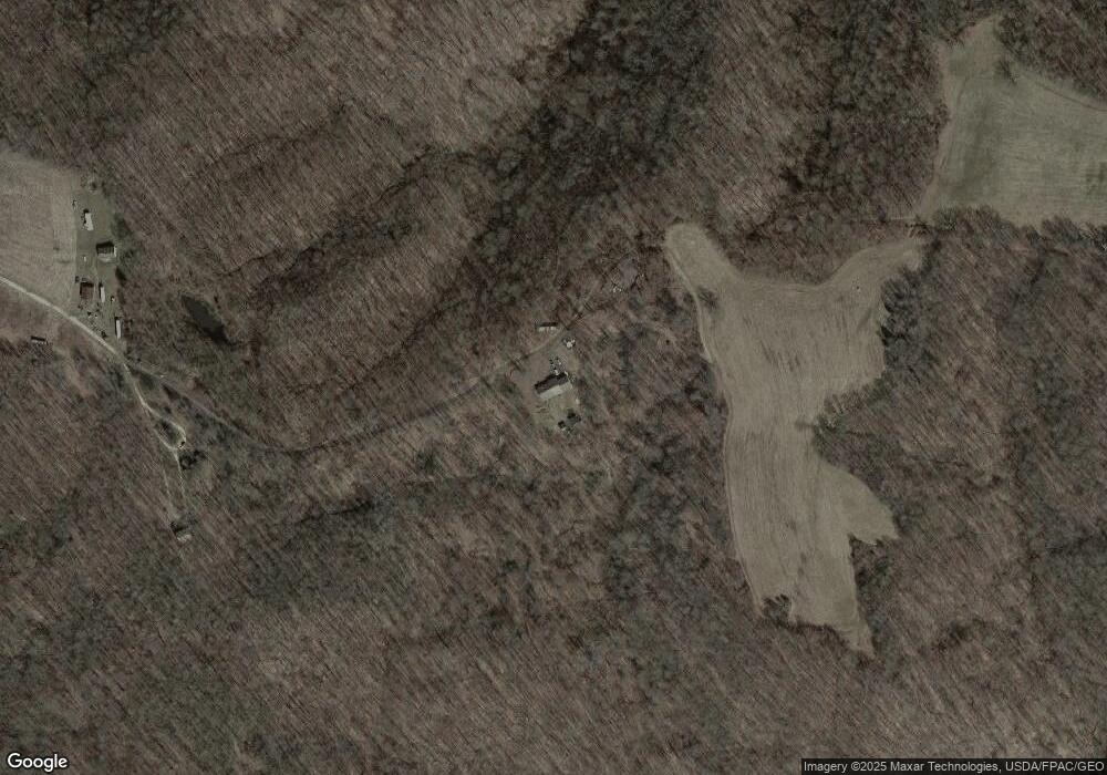
Map
Nearby Homes
- 1550 Swift Rd
- 3130 Ohio 266
- 3439 Columbus St
- 5855 Olney Run Rd
- 2712 Sycamore Ln
- 2444 Ervin Ln
- 1240 Hayesville Rd
- 3020 State Route 376
- 75 S River Rd SE
- 0 Kosky Dr
- 3291 Kosky Dr
- 3111 Big Bottom Ln
- 1960 Broadway St
- 1920 North St
- 1770 Broadway St
- 4660 E J Ross Ln
- 1715 South St
- 0 Meadow St Unit Lot 9 5158299
- 0 Meadow St Unit Lot 9 225008020
- 3265 Tieber Rd
- 1811 Point Lookout Rd
- 1798 Point Lookout Rd
- 1776 Point Lookout Rd
- 1770 Point Lookout Rd
- 1819 Point Lookout Rd
- 1787 E State Route 266
- 1758 Point Lookout Rd
- 0 Ash Rd
- 1550 Point Lookout Rd
- 2050 Ohio 266
- 1655 Point Lookout Rd
- 1470 Point Lookout Rd
- 2223 S State Route 266
- 2223 Ohio 266
- 2295 S State Route 266
- 1385 Point Lookout Rd
- 4635 Schilling Dr
- 2359 S State Route 266
- 2044 S State Route 266
- 2080 S R 266