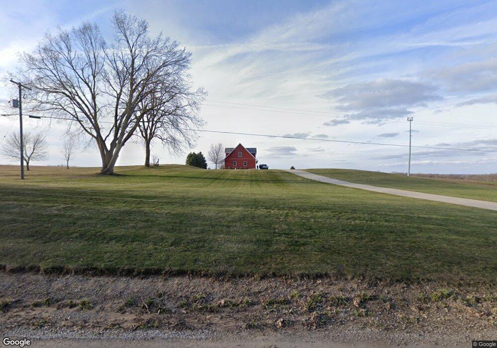
1828 Service Rd Clinton, MI 49236
Estimated Value: $250,000 - $289,562
--
Bed
1
Bath
1,606
Sq Ft
$168/Sq Ft
Est. Value
About This Home
This home is located at 1828 Service Rd, Clinton, MI 49236 and is currently estimated at $269,781, approximately $167 per square foot. 1828 Service Rd is a home located in Lenawee County with nearby schools including Clinton Elementary School, Clinton Middle School, and Clinton High School.
Ownership History
Date
Name
Owned For
Owner Type
Purchase Details
Closed on
Mar 30, 2006
Sold by
Service George C and Service Sherry A
Bought by
Service Tyson
Current Estimated Value
Create a Home Valuation Report for This Property
The Home Valuation Report is an in-depth analysis detailing your home's value as well as a comparison with similar homes in the area
Home Values in the Area
Average Home Value in this Area
Purchase History
| Date | Buyer | Sale Price | Title Company |
|---|---|---|---|
| Service Tyson | -- | None Available |
Source: Public Records
Tax History Compared to Growth
Tax History
| Year | Tax Paid | Tax Assessment Tax Assessment Total Assessment is a certain percentage of the fair market value that is determined by local assessors to be the total taxable value of land and additions on the property. | Land | Improvement |
|---|---|---|---|---|
| 2025 | $2,359 | $133,700 | $0 | $0 |
| 2024 | $920 | $121,800 | $0 | $0 |
| 2023 | $1,986 | $111,600 | $0 | $0 |
| 2022 | $1,966 | $96,100 | $0 | $0 |
| 2021 | $1,940 | $91,700 | $0 | $0 |
| 2020 | $1,915 | $80,700 | $0 | $0 |
| 2019 | $195,433 | $73,200 | $0 | $0 |
| 2018 | $1,850 | $69,097 | $0 | $0 |
| 2017 | $1,713 | $70,022 | $0 | $0 |
| 2016 | $1,709 | $69,593 | $0 | $0 |
| 2014 | -- | $67,080 | $0 | $0 |
Source: Public Records
Map
Nearby Homes
- 11800 N Adrian Hwy
- 11481 N Adrian Hwy
- 1351 Taylor Rd
- 12460 Wisner Hwy
- 2962 U S 12
- 9000 Matthews Hwy
- 19740 Lemm Rd
- 317 Clark St Unit B
- 20664 Allen Rd
- 132 W Church St
- 118 Litchfield St
- 103 W Michigan Ave
- 112 Gibson St
- 10454 Tipton Hwy
- 111 Washington St
- 116 Currier St
- 310 Colebrook Dr
- 13936 Allen Rd
- 4460 Munger Rd
- 9200 Walnut Dr
- 1777 Service Rd
- 1763 Service Rd
- 1920 Service Rd
- 1615 Service Rd
- 1937 Service Rd
- 1960 Service Rd
- 1000 Service Rd Unit BLK
- 1000 Service Rd Unit BLK
- 1000 Service Rd Unit Sandy Ridge
- 1000 Service Rd
- 1967 Service Rd
- 12061 Carson Hwy
- 1700 Service Rd
- 11918 Carson Hwy
- 11873 Carson Hwy
- 11851 Carson Hwy
- 12212 Carson Hwy
- 12261 Carson Hwy
- 12274 Carson Hwy
- 12320 Carson Hwy