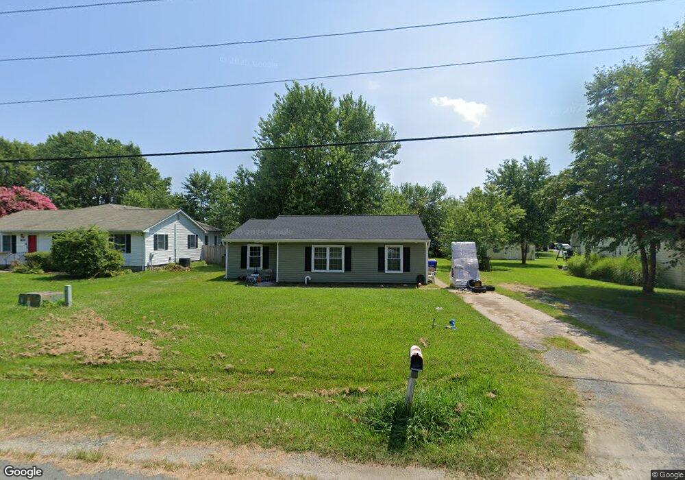
1828 Sherman Dr Chester, MD 21619
Estimated Value: $296,000 - $370,000
3
Beds
1
Bath
1,192
Sq Ft
$288/Sq Ft
Est. Value
About This Home
This home is located at 1828 Sherman Dr, Chester, MD 21619 and is currently estimated at $343,001, approximately $287 per square foot. 1828 Sherman Dr is a home located in Queen Anne's County with nearby schools including Kent Island Elementary School, Bayside Elementary School, and Matapeake Middle School.
Ownership History
Date
Name
Owned For
Owner Type
Purchase Details
Closed on
Feb 6, 2002
Sold by
Good Patricia R and Good Chris L
Bought by
Sweet Clifton W
Current Estimated Value
Purchase Details
Closed on
Nov 6, 2000
Sold by
Robey Patricia R
Bought by
Good Patricia R and Good Chris L
Purchase Details
Closed on
Sep 21, 1998
Sold by
Rehbein James E
Bought by
Robey Patricia R
Create a Home Valuation Report for This Property
The Home Valuation Report is an in-depth analysis detailing your home's value as well as a comparison with similar homes in the area
Home Values in the Area
Average Home Value in this Area
Purchase History
| Date | Buyer | Sale Price | Title Company |
|---|---|---|---|
| Sweet Clifton W | $131,000 | -- | |
| Good Patricia R | -- | -- | |
| Robey Patricia R | $105,000 | -- |
Source: Public Records
Mortgage History
| Date | Status | Borrower | Loan Amount |
|---|---|---|---|
| Closed | Robey Patricia R | -- |
Source: Public Records
Tax History
| Year | Tax Paid | Tax Assessment Tax Assessment Total Assessment is a certain percentage of the fair market value that is determined by local assessors to be the total taxable value of land and additions on the property. | Land | Improvement |
|---|---|---|---|---|
| 2025 | $2,457 | $267,533 | $0 | $0 |
| 2024 | $2,337 | $251,667 | $0 | $0 |
| 2023 | $2,221 | $235,800 | $143,100 | $92,700 |
| 2022 | $2,197 | $233,233 | $0 | $0 |
| 2021 | $2,100 | $230,667 | $0 | $0 |
| 2020 | $2,100 | $228,100 | $140,600 | $87,500 |
| 2019 | $1,997 | $214,767 | $0 | $0 |
| 2018 | $1,899 | $201,433 | $0 | $0 |
| 2017 | $1,804 | $188,100 | $0 | $0 |
| 2016 | -- | $188,100 | $0 | $0 |
| 2015 | $915 | $188,100 | $0 | $0 |
| 2014 | $915 | $193,900 | $0 | $0 |
Source: Public Records
Map
Nearby Homes
- 1870 Harbor Dr
- 1906 Harbor Dr
- 0 Harbor Dr
- 1757 Harbor Dr
- 1916 Stevens Dr
- 2644 Cecil Dr
- 2613 Cecil Dr
- 1 UNIT 2 Compass Cir
- 2 Mariners Way Unit 2
- 2 Mariners Way Unit 17-2
- 129 Sailcloth Way
- 1868 Roberta Dr
- 126 State St
- 1205 Marion Quimby Dr
- 1305 Marion Quimby Dr
- 205 Anchor Ln
- 219 Broadwater Dr
- 515 Love Point Rd
- 135 Nauset Ln
- 1000 Herons Nest Way Unit 32
- 1830 Sherman Dr
- 1826 Sherman Dr
- 1832 Sherman Dr
- 1819 Anchorage Dr
- 1821 Anchorage Dr
- 1817 Anchorage Dr
- 1823 Anchorage Dr
- 1824 Sherman Dr
- 1834 Sherman Dr
- 1815 Anchorage Dr
- 1825 Anchorage Dr
- 1813 Anchorage Dr
- 1836 Sherman Dr
- 1827 Anchorage Dr
- 1829 Anchorage Dr
- 1838 Sherman Dr
- 2733 Harrington Rd
- 2716 Sherman Dr
- 1831 Anchorage Dr
- 1817 Sherman Dr
Your Personal Tour Guide
Ask me questions while you tour the home.