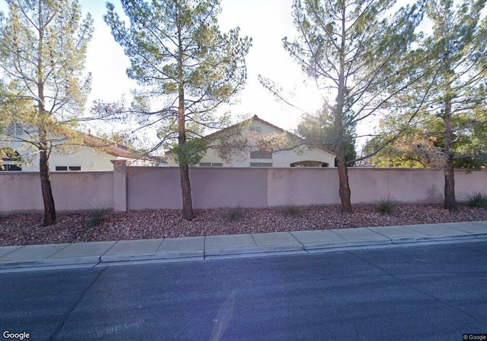
1828 Stablegate Ave Henderson, NV 89012
Green Valley Ranch NeighborhoodEstimated Value: $407,350 - $479,000
3
Beds
2
Baths
1,311
Sq Ft
$341/Sq Ft
Est. Value
About This Home
This home is located at 1828 Stablegate Ave, Henderson, NV 89012 and is currently estimated at $447,338, approximately $341 per square foot. 1828 Stablegate Ave is a home located in Clark County with nearby schools including John Vanderburg Elementary School, Neil C. Twitchell Elementary School, and Bob Miller Middle School.
Ownership History
Date
Name
Owned For
Owner Type
Purchase Details
Closed on
Aug 12, 1999
Sold by
Brown Diane and Miller Doris Diane
Bought by
Brown Arnold O and Brown Diane
Current Estimated Value
Home Financials for this Owner
Home Financials are based on the most recent Mortgage that was taken out on this home.
Original Mortgage
$124,700
Outstanding Balance
$33,131
Interest Rate
7.63%
Estimated Equity
$414,207
Purchase Details
Closed on
Jul 23, 1997
Sold by
Kaufman & Broad Of Nevada Inc
Bought by
Miller Doris Diane
Home Financials for this Owner
Home Financials are based on the most recent Mortgage that was taken out on this home.
Original Mortgage
$117,899
Interest Rate
7.7%
Mortgage Type
FHA
Create a Home Valuation Report for This Property
The Home Valuation Report is an in-depth analysis detailing your home's value as well as a comparison with similar homes in the area
Home Values in the Area
Average Home Value in this Area
Purchase History
| Date | Buyer | Sale Price | Title Company |
|---|---|---|---|
| Brown Arnold O | -- | United Title | |
| Miller Doris Diane | $126,000 | United Title |
Source: Public Records
Mortgage History
| Date | Status | Borrower | Loan Amount |
|---|---|---|---|
| Open | Brown Arnold O | $124,700 | |
| Closed | Miller Doris Diane | $117,899 |
Source: Public Records
Tax History
| Year | Tax Paid | Tax Assessment Tax Assessment Total Assessment is a certain percentage of the fair market value that is determined by local assessors to be the total taxable value of land and additions on the property. | Land | Improvement |
|---|---|---|---|---|
| 2026 | $1,730 | $91,000 | $41,650 | $49,350 |
| 2025 | $1,680 | $89,955 | $39,550 | $50,405 |
| 2024 | $1,631 | $89,955 | $39,550 | $50,405 |
| 2023 | $1,631 | $85,279 | $37,450 | $47,829 |
| 2022 | $1,584 | $74,681 | $30,800 | $43,881 |
| 2021 | $1,538 | $68,683 | $26,950 | $41,733 |
| 2020 | $1,490 | $65,988 | $24,500 | $41,488 |
| 2019 | $1,447 | $63,028 | $22,050 | $40,978 |
| 2018 | $1,405 | $57,393 | $17,850 | $39,543 |
| 2017 | $1,670 | $57,466 | $17,500 | $39,966 |
| 2016 | $1,331 | $52,365 | $12,250 | $40,115 |
| 2015 | $1,327 | $50,150 | $10,500 | $39,650 |
| 2014 | $1,289 | $45,959 | $8,400 | $37,559 |
Source: Public Records
Map
Nearby Homes
- 229 Misty Garden St
- 195 Mountainside Dr
- 1832 Vista Pointe Ave
- 1755 Tanner Cir
- 1887 Eagle Flight Ln
- 256 Canyon Spirit Dr
- 1798 Lakewood Dr
- 1767 Franklin Chase Terrace
- 288 Fairmeadow St
- 100 Tanglewood Dr
- 1744 Baja Ln
- 1942 Buckeye Hill Ct
- 1795 Antelope Valley Ave
- 1594 Livingston Dr
- 11 Desert Dawn Ln
- 1861 Bogey Way
- 1870 Desert Forest Way
- 1724 Flores Ln
- 2012 Summerside Ct
- 297 Mahalko Ct
- 1826 Stablegate Ave
- 1824 Stablegate Ave
- 1822 Stablegate Ave
- 1832 Stablegate Ave
- 1829 Stablegate Ave
- 1823 Stablegate Ave
- 1820 Stablegate Ave
- 1831 Stablegate Ave
- 1834 Stablegate Ave Unit none
- 1834 Stablegate Ave
- 1821 Stablegate Ave
- 1833 Stablegate Ave
- 1833 Stablegate Ave Unit 1
- 1818 Stablegate Ave
- 215 Misty Garden St
- 219 Misty Garden St
- 1819 Stablegate Ave
- 1836 Stablegate Ave
- 221 Misty Garden St
Your Personal Tour Guide
Ask me questions while you tour the home.