1828 Tree Shore Cir SW Ocean Isle Beach, NC 28469
Estimated Value: $455,634 - $475,000
3
Beds
2
Baths
2,022
Sq Ft
$232/Sq Ft
Est. Value
About This Home
This home is located at 1828 Tree Shore Cir SW, Ocean Isle Beach, NC 28469 and is currently estimated at $468,909, approximately $231 per square foot. 1828 Tree Shore Cir SW is a home located in Brunswick County with nearby schools including Union Elementary School, Shallotte Middle School, and West Brunswick High School.
Ownership History
Date
Name
Owned For
Owner Type
Purchase Details
Closed on
Sep 7, 2012
Sold by
The Polka Dot Alien Llc
Bought by
Otis Charles and Otis Elaine
Current Estimated Value
Purchase Details
Closed on
Jun 13, 2006
Sold by
Ocean Isle Palms Inc
Bought by
Otis Charles J and Otis Elaine M
Home Financials for this Owner
Home Financials are based on the most recent Mortgage that was taken out on this home.
Original Mortgage
$231,300
Interest Rate
6.6%
Mortgage Type
Future Advance Clause Open End Mortgage
Create a Home Valuation Report for This Property
The Home Valuation Report is an in-depth analysis detailing your home's value as well as a comparison with similar homes in the area
Home Values in the Area
Average Home Value in this Area
Purchase History
| Date | Buyer | Sale Price | Title Company |
|---|---|---|---|
| Otis Charles | -- | None Available | |
| Otis Charles J | $257,000 | None Available |
Source: Public Records
Mortgage History
| Date | Status | Borrower | Loan Amount |
|---|---|---|---|
| Previous Owner | Otis Charles J | $231,300 | |
| Previous Owner | Otis Charles J | $231,300 |
Source: Public Records
Tax History Compared to Growth
Tax History
| Year | Tax Paid | Tax Assessment Tax Assessment Total Assessment is a certain percentage of the fair market value that is determined by local assessors to be the total taxable value of land and additions on the property. | Land | Improvement |
|---|---|---|---|---|
| 2025 | -- | $361,940 | $67,500 | $294,440 |
| 2024 | $1,638 | $361,940 | $67,500 | $294,440 |
| 2023 | $1,600 | $361,940 | $67,500 | $294,440 |
| 2022 | $0 | $247,490 | $45,000 | $202,490 |
| 2021 | $0 | $247,490 | $45,000 | $202,490 |
| 2020 | $1,565 | $247,490 | $45,000 | $202,490 |
| 2019 | $1,538 | $48,450 | $45,000 | $3,450 |
| 2018 | $1,478 | $52,170 | $48,000 | $4,170 |
| 2017 | $1,391 | $52,170 | $48,000 | $4,170 |
| 2016 | $1,341 | $52,170 | $48,000 | $4,170 |
| 2015 | $1,341 | $235,240 | $48,000 | $187,240 |
| 2014 | $1,251 | $237,589 | $60,000 | $177,589 |
Source: Public Records
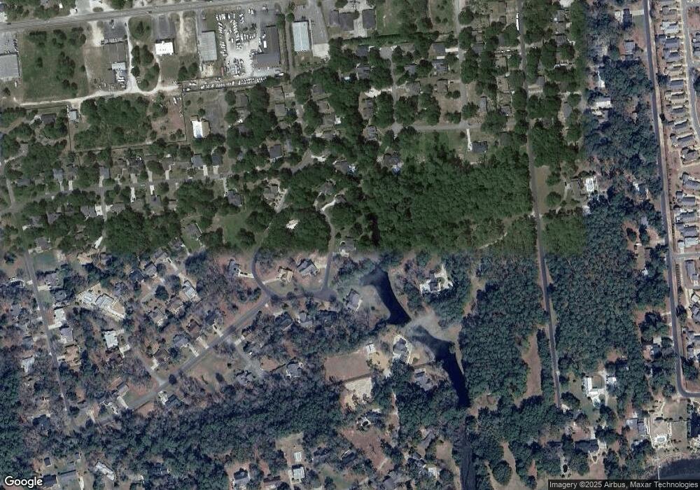
Map
Nearby Homes
- 1812 Sandalwood Dr SW
- 5 Osprey Pointe
- 4 Osprey Pointe
- 1694 Lake Tree Dr SW
- 3 Osprey Pointe
- 2 Osprey Pointe
- 1 Osprey Pointe
- 1772 Sandalwood Dr SW
- 1748 Sandalwood Dr SW
- 1616 Pierce St SW
- 1656 Butterfly Knot Dr
- 6494 Anchors Bend Dr
- 1649 Butterfly Knot Dr SW
- 739 Little Gull Way SW
- 1766 Waterway Dr SW
- 6514 Anchors Bend Dr
- 1629 Marlin Spike Way SW
- 6864 Eastbrook Ave SW
- 1628 Waterway Cove Dr
- 6439 Stopper Ln SW
- 0 Tree Shore Cir SW
- 1829 Tree Shore Cir SW
- 1831 Tree Shore Cir SW
- 1838 Tree Shore Cir SW
- 1816 Tree Shore Cir SW
- 1817 Tree Shore Cir SW
- 1813 Sandalwood Dr SW
- 1842 Tree Shore Cir SW
- 1809 Sandalwood Dr SW
- 1846 Tree Shore Cir SW
- 1663 Lake Tree Dr SW
- 1812 Tree Shore Cir SW
- 1805 Sandalwood Dr SW
- 1716 Pearlie Ct SW
- 1700 Frink St SW
- 1806 Tree Shore Cir SW
- 1659 Lake Tree Dr SW
- 1675 Lake Tree Dr SW
- 1718 Pearlie Ct SW
- 1799 Sandalwood Dr SW