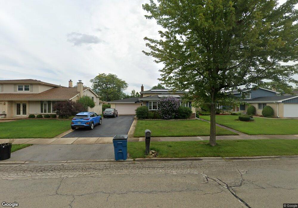
1828 W Mulloy Dr Addison, IL 60101
Estimated Value: $414,214 - $469,000
3
Beds
2
Baths
1,848
Sq Ft
$239/Sq Ft
Est. Value
About This Home
This home is located at 1828 W Mulloy Dr, Addison, IL 60101 and is currently estimated at $441,054, approximately $238 per square foot. 1828 W Mulloy Dr is a home located in DuPage County with nearby schools including Stone Elementary School, Indian Trail Jr High School, and Addison Trail High School.
Ownership History
Date
Name
Owned For
Owner Type
Purchase Details
Closed on
Mar 16, 2020
Sold by
Cavanaugh Mark
Bought by
Cavanaugh Mark and Cavanaugh Brittany
Current Estimated Value
Purchase Details
Closed on
Jul 27, 2017
Sold by
Phillips John L and John L Phillips Sr Trust
Bought by
Cavanaugh Mark and Meyer Brittany
Home Financials for this Owner
Home Financials are based on the most recent Mortgage that was taken out on this home.
Original Mortgage
$251,910
Outstanding Balance
$210,426
Interest Rate
4%
Mortgage Type
New Conventional
Estimated Equity
$230,628
Create a Home Valuation Report for This Property
The Home Valuation Report is an in-depth analysis detailing your home's value as well as a comparison with similar homes in the area
Home Values in the Area
Average Home Value in this Area
Purchase History
| Date | Buyer | Sale Price | Title Company |
|---|---|---|---|
| Cavanaugh Mark | -- | Novas Title Company Llc | |
| Cavanaugh Mark | $280,000 | Attorneys Title Guaranty Fun |
Source: Public Records
Mortgage History
| Date | Status | Borrower | Loan Amount |
|---|---|---|---|
| Open | Cavanaugh Mark | $251,910 |
Source: Public Records
Tax History Compared to Growth
Tax History
| Year | Tax Paid | Tax Assessment Tax Assessment Total Assessment is a certain percentage of the fair market value that is determined by local assessors to be the total taxable value of land and additions on the property. | Land | Improvement |
|---|---|---|---|---|
| 2024 | $7,729 | $118,241 | $36,086 | $82,155 |
| 2023 | $7,332 | $108,130 | $33,000 | $75,130 |
| 2022 | $5,960 | $86,850 | $32,790 | $54,060 |
| 2021 | $5,657 | $82,510 | $31,150 | $51,360 |
| 2020 | $5,603 | $80,500 | $30,390 | $50,110 |
| 2019 | $5,574 | $77,350 | $29,200 | $48,150 |
| 2018 | $6,310 | $83,450 | $28,440 | $55,010 |
| 2017 | $5,536 | $77,350 | $26,360 | $50,990 |
| 2016 | $5,348 | $71,590 | $24,400 | $47,190 |
| 2015 | $5,234 | $66,810 | $22,770 | $44,040 |
| 2014 | $5,059 | $64,520 | $21,990 | $42,530 |
| 2013 | $5,049 | $66,730 | $22,740 | $43,990 |
Source: Public Records
Map
Nearby Homes
- 823 N Cambridge Row
- 1750 W Woodland Ave
- 802 N Tamarac Blvd Unit Z5
- 865 N Tamarac Blvd
- 1795 W Jo Ann Ln
- 1711 W Woodland Ave
- 1741 W Goldengate Dr Unit 2
- 943 N Rohlwing Rd Unit 101H
- 953 N Rohlwing Rd Unit GB
- 953 N Rohlwing Rd Unit 201A
- 522 N Castle Rd
- 1701 W Goldengate Dr
- 881 N Swift Rd Unit 306
- 881 N Swift Rd Unit 106
- 941 N Swift Rd Unit 301
- 1560 W Goldengate Dr
- 1801 W Army Trail Rd
- 20W561 Army Trail Blvd
- 580 N Highlander Way
- 1313 W Byron Ave
- 1824 W Mulloy Dr
- 1832 W Mulloy Dr
- 1836 W Mulloy Dr
- 1825 Kings Point Dr S
- 1829 Kings Point Dr S
- 1821 Kings Point Dr S
- 736 N Rumple Ln
- 1820 W Mulloy Dr
- 1840 W Mulloy Dr
- 1833 Kings Point Dr S
- 1817 Kings Point Dr S
- 1827 W Mulloy Dr
- 1831 W Mulloy Dr
- 1823 W Mulloy Dr
- 1835 W Mulloy Dr
- 1837 Kings Point Dr S
- 1844 W Mulloy Dr
- 718 N Rumple Ln
- 1839 W Mulloy Dr
- 1843 W Mulloy Dr