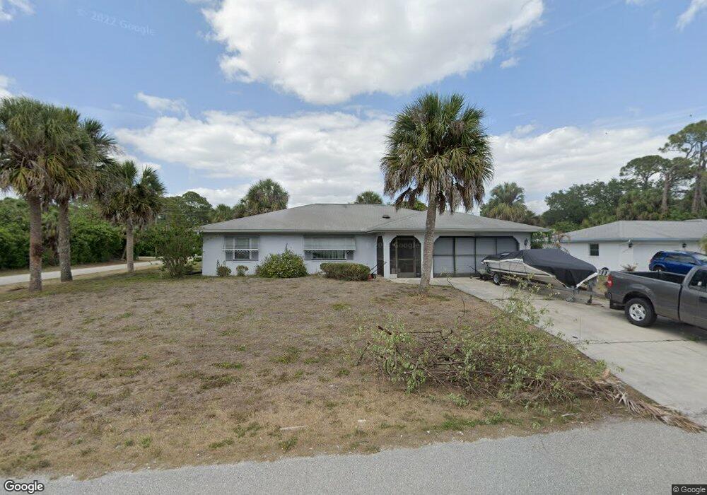
18282 Robinson Ave Port Charlotte, FL 33948
Estimated Value: $234,000 - $312,000
3
Beds
2
Baths
1,576
Sq Ft
$167/Sq Ft
Est. Value
About This Home
This home is located at 18282 Robinson Ave, Port Charlotte, FL 33948 and is currently estimated at $263,830, approximately $167 per square foot. 18282 Robinson Ave is a home located in Charlotte County with nearby schools including Meadow Park Elementary School, Murdock Middle School, and Port Charlotte High School.
Ownership History
Date
Name
Owned For
Owner Type
Purchase Details
Closed on
Aug 10, 2021
Sold by
Zader Richard
Bought by
Wright Elvis
Current Estimated Value
Home Financials for this Owner
Home Financials are based on the most recent Mortgage that was taken out on this home.
Original Mortgage
$181,050
Outstanding Balance
$164,631
Interest Rate
2.9%
Mortgage Type
New Conventional
Estimated Equity
$99,199
Purchase Details
Closed on
Aug 1, 1995
Sold by
Jackson Ralph
Bought by
Zader Richard and Zader Bernadette
Create a Home Valuation Report for This Property
The Home Valuation Report is an in-depth analysis detailing your home's value as well as a comparison with similar homes in the area
Home Values in the Area
Average Home Value in this Area
Purchase History
| Date | Buyer | Sale Price | Title Company |
|---|---|---|---|
| Wright Elvis | $213,000 | None Available | |
| Zader Richard | $4,000 | -- |
Source: Public Records
Mortgage History
| Date | Status | Borrower | Loan Amount |
|---|---|---|---|
| Open | Wright Elvis | $181,050 |
Source: Public Records
Tax History Compared to Growth
Tax History
| Year | Tax Paid | Tax Assessment Tax Assessment Total Assessment is a certain percentage of the fair market value that is determined by local assessors to be the total taxable value of land and additions on the property. | Land | Improvement |
|---|---|---|---|---|
| 2023 | $4,741 | $187,926 | $0 | $0 |
| 2022 | $3,989 | $170,842 | $15,300 | $155,542 |
| 2021 | $3,298 | $123,067 | $5,525 | $117,542 |
| 2020 | $3,744 | $155,818 | $5,100 | $150,718 |
| 2019 | $2,982 | $152,364 | $5,100 | $147,264 |
| 2018 | $2,653 | $145,836 | $5,015 | $140,821 |
| 2017 | $2,459 | $128,027 | $5,912 | $122,115 |
| 2016 | $2,351 | $100,566 | $0 | $0 |
| 2015 | $2,146 | $91,424 | $0 | $0 |
| 2014 | $2,072 | $83,113 | $0 | $0 |
Source: Public Records
Map
Nearby Homes
- 4112 Conestoga St
- 4071 Conestoga St
- 18324 Robinson Ave
- 4063 Conestoga St
- 4063 Gallo St
- 4048 Gallo St
- 3509 Conmore St
- 3484 Sage St
- 18371 Edgewater Dr
- 18380 Robinson Ave
- 18379 Edgewater Dr
- 18227 Edgewater Dr
- 3485 Durant (Lots 14 15 16) St
- 4121 Durant St
- 3500 Cessna St
- 18412 Robinson Ave
- 3461 Durant St
- 18314 Koala Ave
- 4158 Sumac St
- 18537 Klingler Cir
- 4010 Durant St
- 4040 Durant St
- 18300 Robinson Ave
- 18299 Edgewater Dr
- 18265 Robinson Ave
- 4047 Conestoga St
- 18257 Edgewater Dr
- 18307 Edgewater Dr
- 18257 Robinson Ave
- 4056 Durant St
- 18250 Robinson Ave
- 18266 Merchants Ave
- 3524 Durant St
- 18249 Edgewater Dr
- 4055 Conestoga St
- 4040 Conestoga St
- 18315 Edgewater Dr
- 18290 Edgewater Dr
- 18249 Robinson Ave
- 18258 Merchants Ave