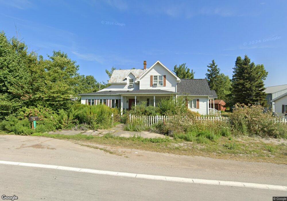
18282 State Route 189 Columbus Grove, OH 45830
Estimated Value: $210,000 - $260,000
3
Beds
2
Baths
2,302
Sq Ft
$100/Sq Ft
Est. Value
About This Home
This home is located at 18282 State Route 189, Columbus Grove, OH 45830 and is currently estimated at $231,301, approximately $100 per square foot. 18282 State Route 189 is a home located in Putnam County with nearby schools including Columbus Grove Elementary School, Columbus Grove Middle School, and Columbus Grove High School.
Ownership History
Date
Name
Owned For
Owner Type
Purchase Details
Closed on
Mar 29, 2019
Sold by
Miller Gloria M
Bought by
Anderson Grant E
Current Estimated Value
Home Financials for this Owner
Home Financials are based on the most recent Mortgage that was taken out on this home.
Original Mortgage
$147,500
Outstanding Balance
$129,679
Interest Rate
4.3%
Mortgage Type
New Conventional
Estimated Equity
$101,622
Purchase Details
Closed on
May 25, 2012
Sold by
Estate Of Terry O Miller
Bought by
Miller Gloria M
Create a Home Valuation Report for This Property
The Home Valuation Report is an in-depth analysis detailing your home's value as well as a comparison with similar homes in the area
Home Values in the Area
Average Home Value in this Area
Purchase History
| Date | Buyer | Sale Price | Title Company |
|---|---|---|---|
| Anderson Grant E | $147,500 | None Available | |
| Miller Gloria M | -- | None Available |
Source: Public Records
Mortgage History
| Date | Status | Borrower | Loan Amount |
|---|---|---|---|
| Open | Anderson Grant E | $147,500 |
Source: Public Records
Tax History Compared to Growth
Tax History
| Year | Tax Paid | Tax Assessment Tax Assessment Total Assessment is a certain percentage of the fair market value that is determined by local assessors to be the total taxable value of land and additions on the property. | Land | Improvement |
|---|---|---|---|---|
| 2024 | $1,868 | $62,300 | $3,480 | $58,820 |
| 2023 | $1,986 | $44,340 | $2,730 | $41,610 |
| 2022 | $1,635 | $44,342 | $2,730 | $41,612 |
| 2021 | $1,636 | $44,340 | $2,730 | $41,610 |
| 2020 | $1,639 | $34,560 | $1,790 | $32,770 |
| 2019 | $1,414 | $39,160 | $2,460 | $36,700 |
| 2018 | $1,412 | $39,160 | $2,460 | $36,700 |
| 2017 | $1,222 | $39,160 | $2,460 | $36,700 |
| 2016 | $1,222 | $34,560 | $1,790 | $32,770 |
| 2015 | $1,228 | $34,560 | $1,790 | $32,770 |
| 2014 | $1,240 | $34,560 | $1,790 | $32,770 |
| 2013 | $1,260 | $34,560 | $1,790 | $32,770 |
Source: Public Records
Map
Nearby Homes
- 18282 St Route
- 20271 Road 18r
- 18318 State Route 189
- 18340 St Route
- 18318 Ohio 189
- 18340 State Route 189
- 20259 Road 18r
- 20259 Road 18-R
- 20239 Road 18r
- 18233 State Route 189
- 18233 St Route Unit 189
- 18233 St Route
- 20361 Road 18r
- 20223 Road 18r
- 18205 Ohio 189
- 20209 Road 18r
- 18205 State Route 189
- 20193 Road 18r
- 18193 State Route 189
- 20175 Road 18r