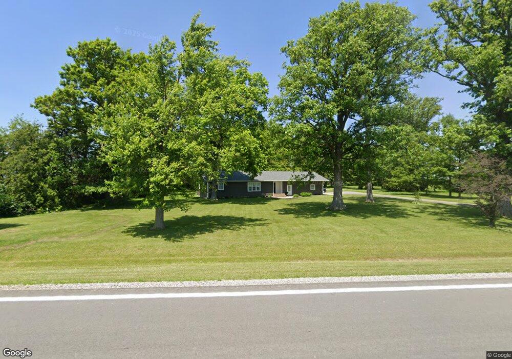
18285 Us Route 224 Unit A Middle Point, OH 45863
Estimated Value: $139,000 - $176,000
2
Beds
1
Bath
1,252
Sq Ft
$127/Sq Ft
Est. Value
About This Home
This home is located at 18285 Us Route 224 Unit A, Middle Point, OH 45863 and is currently estimated at $159,161, approximately $127 per square foot. 18285 Us Route 224 Unit A is a home located in Van Wert County with nearby schools including Lincolnview Elementary School and Lincolnview Junior/Senior High School.
Ownership History
Date
Name
Owned For
Owner Type
Purchase Details
Closed on
Mar 13, 2013
Sold by
Medford Eldiva
Bought by
Denny Jayme M
Current Estimated Value
Home Financials for this Owner
Home Financials are based on the most recent Mortgage that was taken out on this home.
Original Mortgage
$43,650
Outstanding Balance
$30,534
Interest Rate
3.5%
Mortgage Type
Purchase Money Mortgage
Estimated Equity
$128,627
Purchase Details
Closed on
Mar 25, 2003
Bought by
Denny Jayme M
Create a Home Valuation Report for This Property
The Home Valuation Report is an in-depth analysis detailing your home's value as well as a comparison with similar homes in the area
Home Values in the Area
Average Home Value in this Area
Purchase History
| Date | Buyer | Sale Price | Title Company |
|---|---|---|---|
| Denny Jayme M | $48,500 | Attorney | |
| Denny Jayme M | $48,500 | -- | |
| Denny Jayme M | $48,500 | -- |
Source: Public Records
Mortgage History
| Date | Status | Borrower | Loan Amount |
|---|---|---|---|
| Open | Denny Jayme M | $43,650 |
Source: Public Records
Tax History Compared to Growth
Tax History
| Year | Tax Paid | Tax Assessment Tax Assessment Total Assessment is a certain percentage of the fair market value that is determined by local assessors to be the total taxable value of land and additions on the property. | Land | Improvement |
|---|---|---|---|---|
| 2024 | $1,274 | $40,360 | $7,280 | $33,080 |
| 2023 | $1,274 | $40,360 | $7,280 | $33,080 |
| 2022 | $1,362 | $31,730 | $5,600 | $26,130 |
| 2021 | $1,345 | $31,730 | $5,600 | $26,130 |
| 2020 | $1,342 | $31,730 | $5,600 | $26,130 |
| 2019 | $1,121 | $28,720 | $4,800 | $23,920 |
| 2018 | $1,107 | $28,720 | $4,800 | $23,920 |
| 2017 | $883 | $28,720 | $4,800 | $23,920 |
| 2016 | $671 | $19,850 | $4,660 | $15,190 |
| 2015 | $660 | $19,850 | $4,660 | $15,190 |
| 2014 | $686 | $19,850 | $4,660 | $15,190 |
| 2013 | $461 | $19,850 | $4,660 | $15,190 |
Source: Public Records
Map
Nearby Homes
- TBD Dog Creek Rd
- 112 W Railroad St
- 104 W Railroad St
- 104 W South St
- 100 N Maple St
- 106 W Jackson St
- 13945 Lincoln Hwy
- 201 N Main St
- 301 E Wayne St
- TBD Mendon Rd
- 8951 Brickner Rd
- 320 Auglaize St
- 919 E Sycamore St
- 7510 State Route 66
- 623 N Cherry St
- 692 N Market St
- 205 N Chestnut St
- 0 Road 24-Q
- 142 Gleason Ave
- 18251 Road 48
- 18381 Us Route 224
- 18381 St Route
- 18129 Us Route 224
- 18366 Hessian Rd
- 17827 Us Route 224
- 18383 Galvin Rd
- 4314 Mosier Rd
- 18360 Galvin Rd
- 17975 Galvin Rd
- 4248 Mosier Rd
- 17408 Us Route 224
- 17390 Us Route 224
- 4464 Doner Rd
- 4080 Mosier Rd
- 18991 Galvin Rd
- 18452 Wetzel Rd
- 18270 Wetzel Rd
- 17625 Galvin Rd
- 17390 Us Route 224
- 19128 Hessian Rd