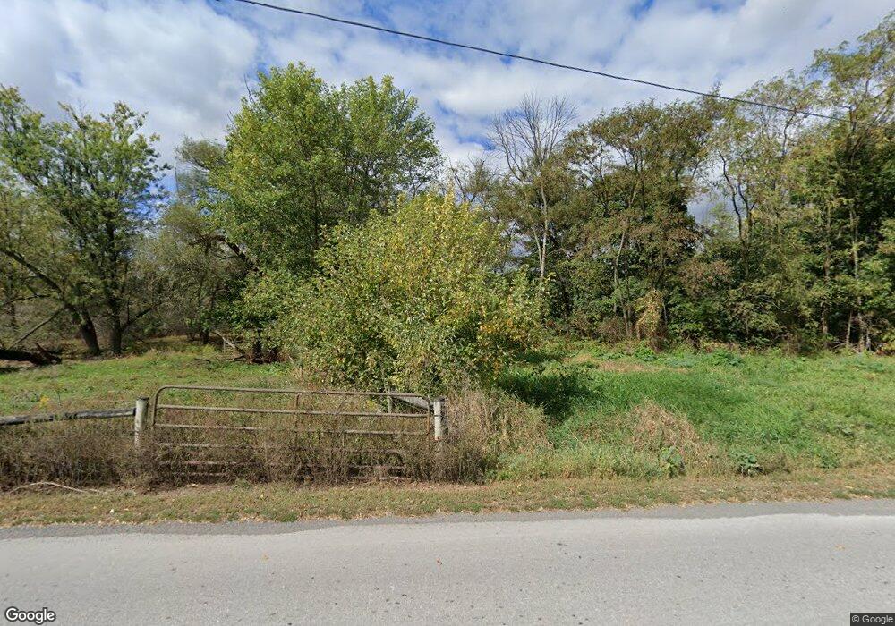
18289 S Dry Run Rd Dry Run, PA 17220
Estimated Value: $69,189 - $254,000
--
Bed
--
Bath
1,225
Sq Ft
$151/Sq Ft
Est. Value
About This Home
This home is located at 18289 S Dry Run Rd, Dry Run, PA 17220 and is currently estimated at $185,047, approximately $151 per square foot. 18289 S Dry Run Rd is a home located in Franklin County with nearby schools including Fannett-Metal Elementary School, Fannett-Metal Middle School, and Maple Grove Amish School.
Ownership History
Date
Name
Owned For
Owner Type
Purchase Details
Closed on
Jun 8, 2010
Sold by
Hampton Michael Dean and Hampton Brenda J
Bought by
Hampton Philip M
Current Estimated Value
Home Financials for this Owner
Home Financials are based on the most recent Mortgage that was taken out on this home.
Original Mortgage
$103,500
Interest Rate
5.11%
Mortgage Type
New Conventional
Create a Home Valuation Report for This Property
The Home Valuation Report is an in-depth analysis detailing your home's value as well as a comparison with similar homes in the area
Home Values in the Area
Average Home Value in this Area
Purchase History
| Date | Buyer | Sale Price | Title Company |
|---|---|---|---|
| Hampton Philip M | -- | None Available |
Source: Public Records
Mortgage History
| Date | Status | Borrower | Loan Amount |
|---|---|---|---|
| Closed | Hampton Philip M | $103,500 |
Source: Public Records
Tax History Compared to Growth
Tax History
| Year | Tax Paid | Tax Assessment Tax Assessment Total Assessment is a certain percentage of the fair market value that is determined by local assessors to be the total taxable value of land and additions on the property. | Land | Improvement |
|---|---|---|---|---|
| 2025 | $1,635 | $13,930 | $600 | $13,330 |
| 2024 | $1,635 | $13,930 | $600 | $13,330 |
| 2023 | $1,608 | $13,930 | $600 | $13,330 |
| 2022 | $1,608 | $13,930 | $600 | $13,330 |
| 2021 | $1,608 | $13,930 | $600 | $13,330 |
| 2020 | $1,601 | $13,930 | $600 | $13,330 |
| 2019 | $1,595 | $13,930 | $600 | $13,330 |
| 2018 | $1,574 | $13,930 | $600 | $13,330 |
| 2017 | $1,540 | $13,930 | $600 | $13,330 |
| 2016 | $399 | $13,930 | $600 | $13,330 |
| 2015 | $372 | $13,930 | $600 | $13,330 |
| 2014 | $372 | $13,930 | $600 | $13,330 |
Source: Public Records
Map
Nearby Homes
- 18764 Dry Run Rd W
- 19031 Back Rd
- TRACT 2: 36.45+/- AC Spring Run Rd
- 66± ACRES Spring Run Rd
- TRACT 1: 19032 Spring Run Rd
- TRACT 3: 19108 Spring Run Rd
- 18927 Spring Run Rd
- 18493 Amberson Rd
- 21295 Van Buren Rd
- 21571 Path Valley Rd
- 5.5+/- ACRES Mountain Green Rd
- 21429 Buck Trail
- 17509 Steck Rd
- 12319 Creek Rd
- 23570 Path Valley Rd
- 0 Cumberland Hwy
- 13515 Cumberland Hwy
- 12494 Path Valley Rd
- 10119 Cardinal Dr
- 0 Main St
- 18321 Dry Run Rd S
- 18537 Dry Run Rd S
- 18537 Dry Run Rd S
- 18732 Dry Run Rd S
- 18663 S Dry Run Rd
- 18030 Path Valley Rd
- 17704 Path Valley Rd
- 18716 Dry Run Rd S
- 18324 Path Valley Rd
- 17892 Path Valley Rd
- 18222 Path Valley Rd
- 0 Rod and Gun Club Rd Unit 1000211069
- 18680 Main St
- 18386 Path Valley Rd
- 18651 Main St
- 18015 Path Valley Rd
- 18663 Main Street Dry Run
- 18663 Main St
- 18019 Main Street Dry Run W
- 20276 School Rd
