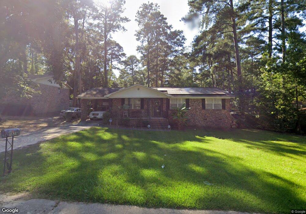
1829 Cunningham Rd Columbia, SC 29210
Saint Andrews NeighborhoodEstimated Value: $141,000 - $225,000
3
Beds
2
Baths
1,462
Sq Ft
$130/Sq Ft
Est. Value
About This Home
This home is located at 1829 Cunningham Rd, Columbia, SC 29210 and is currently estimated at $189,399, approximately $129 per square foot. 1829 Cunningham Rd is a home located in Richland County with nearby schools including Sandel Elementary School, St. Andrews Middle School, and Columbia High School.
Ownership History
Date
Name
Owned For
Owner Type
Purchase Details
Closed on
Nov 9, 2017
Sold by
Bryant Rozena Brown
Bought by
Bryant Rozena B
Current Estimated Value
Purchase Details
Closed on
Apr 2, 2007
Sold by
Mckaughan Nina
Bought by
Bryant Robert and Brown Rozena
Home Financials for this Owner
Home Financials are based on the most recent Mortgage that was taken out on this home.
Original Mortgage
$87,200
Interest Rate
6.15%
Mortgage Type
Purchase Money Mortgage
Create a Home Valuation Report for This Property
The Home Valuation Report is an in-depth analysis detailing your home's value as well as a comparison with similar homes in the area
Home Values in the Area
Average Home Value in this Area
Purchase History
| Date | Buyer | Sale Price | Title Company |
|---|---|---|---|
| Bryant Rozena B | -- | None Available | |
| Bryant Robert | $109,000 | None Available |
Source: Public Records
Mortgage History
| Date | Status | Borrower | Loan Amount |
|---|---|---|---|
| Previous Owner | Bryant Robert | $87,200 |
Source: Public Records
Tax History
| Year | Tax Paid | Tax Assessment Tax Assessment Total Assessment is a certain percentage of the fair market value that is determined by local assessors to be the total taxable value of land and additions on the property. | Land | Improvement |
|---|---|---|---|---|
| 2023 | $399 | $0 | $0 | $0 |
| 2021 | $324 | $3,936 | $512 | $3,424 |
| 2020 | $324 | $0 | $0 | $0 |
| 2019 | $286 | $0 | $0 | $0 |
| 2018 | $249 | $0 | $0 | $0 |
| 2017 | $249 | $0 | $0 | $0 |
| 2016 | $513 | $3,520 | $0 | $0 |
| 2015 | $504 | $3,520 | $0 | $0 |
| 2014 | $494 | $88,100 | $0 | $0 |
| 2013 | -- | $3,520 | $0 | $0 |
Source: Public Records
Map
Nearby Homes
- 1725 Kathleen Dr Unit A&B
- 2125 Rolling Hills Rd
- 1900 Rolling Hills Rd
- 1917 Kathleen Dr
- 2309 Cunningham Rd
- 1705 Saint Michaels Rd
- 2309 Hillbeck Dr
- 6 Woodtrail Ct
- 1533 Westchester Dr
- 2341 Rolling Hills Rd
- 0 Marley Dr Unit 623584
- 2103 Marley Dr
- 1306 Old Manor Rd
- 1217 Old Manor Rd
- 1415 Old Manor Rd
- 1409 Old Manor Rd
- 1313 Old Manor Rd
- 1709 Grays Inn Rd
- 528 Wimbledon Ct
- 914 Old Manor Rd
- 1823 Cunningham Rd
- 1835 Cunningham Rd
- 1876 Woodsboro Dr
- 1830 Cunningham Rd
- 1872 Woodsboro Dr
- 1815 Cunningham Rd
- 1824 Cunningham Rd
- 1868 Woodsboro Dr
- 1836 Cunningham Rd
- 1816 Cunningham Rd
- 1809 Cunningham Rd
- 1883 Woodsboro Dr
- 1842 Cunningham Rd
- 1857 Greenwyche Ave
- 1864 Woodsboro Dr
- 1879 Woodsboro Dr
- 1848 Cunningham Rd
- 1808 Cunningham Rd
- 1875 Woodsboro Dr
- 1871 Woodsboro Dr Unit 1
Your Personal Tour Guide
Ask me questions while you tour the home.