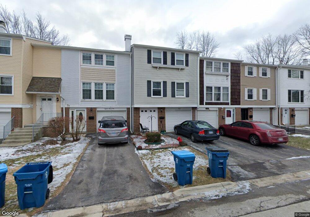
1829 Lancashire Ct Unit 3 Schaumburg, IL 60194
West Schaumburg NeighborhoodEstimated Value: $281,000 - $285,000
2
Beds
2
Baths
1,280
Sq Ft
$222/Sq Ft
Est. Value
About This Home
This home is located at 1829 Lancashire Ct Unit 3, Schaumburg, IL 60194 and is currently estimated at $283,542, approximately $221 per square foot. 1829 Lancashire Ct Unit 3 is a home located in Cook County with nearby schools including Neil Armstrong Elementary School, Dwight D Eisenhower Junior High School, and Hoffman Estates High School.
Ownership History
Date
Name
Owned For
Owner Type
Purchase Details
Closed on
Feb 23, 2007
Sold by
Cresap Brian D
Bought by
Bottino Anthony
Current Estimated Value
Home Financials for this Owner
Home Financials are based on the most recent Mortgage that was taken out on this home.
Original Mortgage
$121,000
Outstanding Balance
$73,436
Interest Rate
6.4%
Mortgage Type
Unknown
Estimated Equity
$210,106
Create a Home Valuation Report for This Property
The Home Valuation Report is an in-depth analysis detailing your home's value as well as a comparison with similar homes in the area
Home Values in the Area
Average Home Value in this Area
Purchase History
| Date | Buyer | Sale Price | Title Company |
|---|---|---|---|
| Bottino Anthony | $201,000 | Multiple |
Source: Public Records
Mortgage History
| Date | Status | Borrower | Loan Amount |
|---|---|---|---|
| Open | Bottino Anthony | $121,000 |
Source: Public Records
Tax History Compared to Growth
Tax History
| Year | Tax Paid | Tax Assessment Tax Assessment Total Assessment is a certain percentage of the fair market value that is determined by local assessors to be the total taxable value of land and additions on the property. | Land | Improvement |
|---|---|---|---|---|
| 2024 | $4,379 | $19,000 | $3,000 | $16,000 |
| 2023 | $4,210 | $19,000 | $3,000 | $16,000 |
| 2022 | $4,210 | $19,000 | $3,000 | $16,000 |
| 2021 | $3,678 | $15,493 | $2,835 | $12,658 |
| 2020 | $3,688 | $15,493 | $2,835 | $12,658 |
| 2019 | $3,689 | $17,215 | $2,835 | $14,380 |
| 2018 | $3,015 | $13,493 | $2,475 | $11,018 |
| 2017 | $2,984 | $13,493 | $2,475 | $11,018 |
| 2016 | $3,031 | $13,493 | $2,475 | $11,018 |
| 2015 | $3,182 | $13,287 | $2,160 | $11,127 |
| 2014 | $3,162 | $13,287 | $2,160 | $11,127 |
| 2013 | $3,064 | $13,287 | $2,160 | $11,127 |
Source: Public Records
Map
Nearby Homes
- 1020 Denham Place Unit 1
- 1912 Finchley Ct Unit 3
- 1103 Southbridge Ln
- 1121 Southbridge Ln
- 808 Bishop Ct Unit 2
- 775 Harmon Blvd
- 1698 Pebble Beach Dr
- 1375 Rebecca Dr Unit 318
- 1475 Crowfoot Cir S
- 700 N Hundley St
- 1475 Rebecca Dr Unit 217
- 1901 Kingsley Dr
- 1415 N Oakmont Rd
- 604 N Brookdale Dr
- 1352 W Oakmont Rd
- 1365 Blair Ln
- 2216 Andover Ct
- 640 Downey St
- 1763 Bristol Walk Unit 1763
- 1685 Cornell Dr
- 1827 Lancashire Ct Unit 3
- 1831 Lancashire Ct Unit III
- 1817 Lancashire Ct Unit 3
- 1825 Lancashire Ct Unit III
- 1833 Lancashire Ct Unit 3
- 1823 Lancashire Ct
- 1823 Lancashire Ct
- 1823 Lancashire Ct Unit 1823
- 1835 Lancashire Ct Unit 3
- 1835 Lancashire Ct Unit 1835
- 1835 Lancashire Ct Unit END
- 1821 Lancashire Ct Unit 3
- 1819 Lancashire Ct Unit III
- 1826 Lancashire Ct
- 1828 Lancashire Ct
- 1824 Lancashire Ct Unit 3
- 1830 Lancashire Ct Unit 3
- 1822 Lancashire Ct
- 1816 Lancashire Ct Unit 3
- 1008 Portland Dr Unit 3