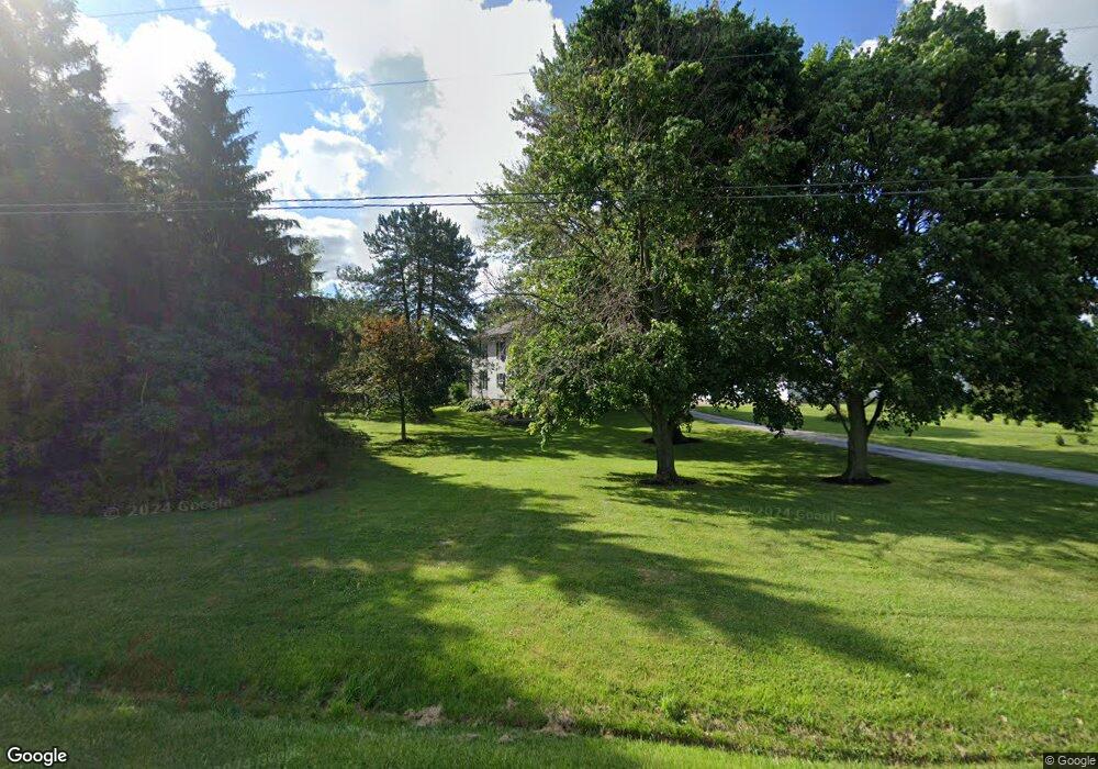
1829 Us Highway 6 E Fremont, OH 43420
Estimated Value: $191,158 - $307,000
4
Beds
1
Bath
2,074
Sq Ft
$119/Sq Ft
Est. Value
About This Home
This home is located at 1829 Us Highway 6 E, Fremont, OH 43420 and is currently estimated at $246,290, approximately $118 per square foot. 1829 Us Highway 6 E is a home located in Sandusky County with nearby schools including Fremont Ross High School, Bishop Hoffman Catholic School - This is St Joe's School now, and St. Joseph School.
Ownership History
Date
Name
Owned For
Owner Type
Purchase Details
Closed on
Sep 23, 2014
Sold by
Halbeisen Joseph A and Halbeisen Judith K
Bought by
Halbeisen Tyler J and Halbeisen Angela L
Current Estimated Value
Home Financials for this Owner
Home Financials are based on the most recent Mortgage that was taken out on this home.
Original Mortgage
$104,000
Interest Rate
4.15%
Mortgage Type
New Conventional
Create a Home Valuation Report for This Property
The Home Valuation Report is an in-depth analysis detailing your home's value as well as a comparison with similar homes in the area
Home Values in the Area
Average Home Value in this Area
Purchase History
| Date | Buyer | Sale Price | Title Company |
|---|---|---|---|
| Halbeisen Tyler J | $130,000 | First American |
Source: Public Records
Mortgage History
| Date | Status | Borrower | Loan Amount |
|---|---|---|---|
| Closed | Halbeisen Tyler J | $104,000 |
Source: Public Records
Tax History Compared to Growth
Tax History
| Year | Tax Paid | Tax Assessment Tax Assessment Total Assessment is a certain percentage of the fair market value that is determined by local assessors to be the total taxable value of land and additions on the property. | Land | Improvement |
|---|---|---|---|---|
| 2024 | $1,596 | $42,080 | $11,030 | $31,050 |
| 2023 | $1,596 | $42,080 | $11,030 | $31,050 |
| 2022 | $1,683 | $42,080 | $11,030 | $31,050 |
| 2021 | $1,736 | $42,080 | $11,030 | $31,050 |
| 2020 | $1,589 | $37,980 | $10,430 | $27,550 |
| 2019 | $1,587 | $37,980 | $10,430 | $27,550 |
| 2018 | $1,590 | $37,980 | $10,430 | $27,550 |
| 2017 | $1,442 | $34,370 | $10,430 | $23,940 |
| 2016 | $1,270 | $34,370 | $10,430 | $23,940 |
| 2015 | $1,248 | $34,370 | $10,430 | $23,940 |
| 2014 | $1,146 | $38,850 | $8,470 | $30,380 |
| 2013 | $1,121 | $38,850 | $8,470 | $30,380 |
Source: Public Records
Map
Nearby Homes
- 2087 County Road 216
- 711 Bloom Rd
- 263 Saint Paul Dr
- 251 Saint Paul Dr
- 315 Ethan Dr
- 318 Ethan Dr
- 199 Saint Thomas Dr
- 335 Cottage St
- 1730 Port Clinton Rd Unit 41
- 1730 Port Clinton Rd
- 1730 Port Clinton Rd Unit 33
- 612 2nd St
- 2248 E State St
- 533 Sandusky Ave Unit 535
- 230 N Pennsylvania Ave
- 433 Sandusky Ave
- 0 Sean Dr
- Outlot A Sean Dr
- 322 4th St
- 340 340 Sandusky Ave
- 1875 U S 6
- 1799 Us Highway 6 E
- 1875 Us Highway 6 E
- 1970 County Road 239
- 1974 County Road 239
- 1766 Us Highway 6 E
- 1977 County Road 239
- 1982 County Road 239
- 1990 County Road 239
- 1981 County Road 239
- 1362 County Road 204
- 1380 County Road 204
- 1721 Us Highway 6 E
- 1420 County Road 202
- 1276 County Road 204
- 1701 Us Highway 6 E
- 1484 County Road 202
- 0 County Road 204
- 1262 County Road 204
- 1168 County Road 200