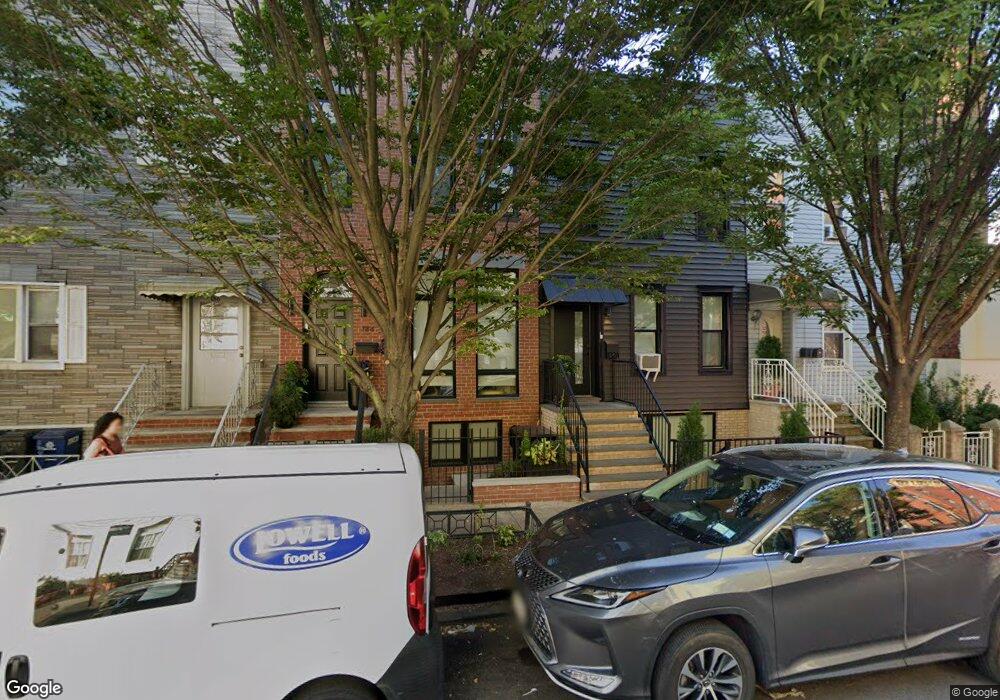
182A Calyer St Brooklyn, NY 11222
Greenpoint NeighborhoodEstimated Value: $1,526,311 - $2,607,000
Studio
--
Bath
1,600
Sq Ft
$1,335/Sq Ft
Est. Value
About This Home
This home is located at 182A Calyer St, Brooklyn, NY 11222 and is currently estimated at $2,136,328, approximately $1,335 per square foot. 182A Calyer St is a home located in Kings County with nearby schools including P.S. 34 Oliver H Perry, Northside Charter High School, and Yeshiva Bnos Ahavas Israel.
Ownership History
Date
Name
Owned For
Owner Type
Purchase Details
Closed on
Oct 30, 1995
Sold by
Clare Walter William
Bought by
Chrostowski Kazimierz and Chrostowski Barbara
Current Estimated Value
Home Financials for this Owner
Home Financials are based on the most recent Mortgage that was taken out on this home.
Original Mortgage
$136,000
Interest Rate
7.04%
Mortgage Type
Purchase Money Mortgage
Create a Home Valuation Report for This Property
The Home Valuation Report is an in-depth analysis detailing your home's value as well as a comparison with similar homes in the area
Home Values in the Area
Average Home Value in this Area
Purchase History
| Date | Buyer | Sale Price | Title Company |
|---|---|---|---|
| Chrostowski Kazimierz | $170,000 | -- |
Source: Public Records
Mortgage History
| Date | Status | Borrower | Loan Amount |
|---|---|---|---|
| Closed | Chrostowski Kazimierz | $136,000 |
Source: Public Records
Tax History
| Year | Tax Paid | Tax Assessment Tax Assessment Total Assessment is a certain percentage of the fair market value that is determined by local assessors to be the total taxable value of land and additions on the property. | Land | Improvement |
|---|---|---|---|---|
| 2025 | $5,504 | $100,260 | $10,320 | $89,940 |
| 2024 | $5,504 | $79,200 | $10,320 | $68,880 |
| 2023 | $5,515 | $83,400 | $10,320 | $73,080 |
| 2022 | $5,091 | $81,480 | $10,320 | $71,160 |
| 2021 | $4,272 | $86,520 | $10,320 | $76,200 |
| 2019 | $4,729 | $87,180 | $10,320 | $76,860 |
| 2018 | $4,553 | $23,796 | $2,698 | $21,098 |
| 2017 | $4,277 | $22,450 | $3,014 | $19,436 |
| 2016 | $3,928 | $21,198 | $3,842 | $17,356 |
| 2015 | $2,335 | $21,198 | $5,759 | $15,439 |
| 2014 | $2,335 | $20,004 | $6,520 | $13,484 |
Source: Public Records
Map
Nearby Homes
- 171 Calyer St Unit 3 E
- 1125 Lorimer St Unit 5H
- 155 Noble St Unit 1
- 269 Eckford St Unit 4A
- 269 Eckford St Unit 3A
- 215 Calyer St Unit 4
- 215 Calyer St Unit 2
- 141 Calyer St
- 1023 Lorimer St
- 183 McGuinness Blvd Unit 3 A
- 111 Calyer St
- 67 Norman Ave
- 174 Eckford St
- 147 Diamond St
- 120 Java St Unit 4-B
- 199 Java St
- 1080 Lorimer St Unit 1-F
- 150A Diamond St
- 82 Guernsey St Unit 2-A
- 147 Eckford St
- 184 Calyer St
- 182 Calyer St
- 182 Calyer St
- 186 Calyer St
- 689 Leonard St
- 188 Calyer St
- 802-812 Manhattan Ave
- 687 Leonard St Unit 4B
- 687 Leonard St Unit 4A
- 687 Leonard St Unit 3B
- 687 Leonard St Unit 3A
- 687 Leonard St Unit 2B
- 687 Leonard St Unit 2A
- 687 Leonard St Unit 1B
- 687 Leonard St Unit 1A
- 687 Leonard St
- 685 Leonard St
- 800 Manhattan Ave
- 683 Leonard St
- 683 Leonard St
Your Personal Tour Guide
Ask me questions while you tour the home.