182A Oakland Sang Run Rd Oakland, MD 21550
Estimated Value: $21,000 - $209,000
--
Bed
--
Bath
--
Sq Ft
1.82
Acres
About This Home
This home is located at 182A Oakland Sang Run Rd, Oakland, MD 21550 and is currently estimated at $115,000. 182A Oakland Sang Run Rd is a home located in Garrett County with nearby schools including Broad Ford Elementary School, Southern Middle School, and Southern Garrett High School.
Ownership History
Date
Name
Owned For
Owner Type
Purchase Details
Closed on
Sep 1, 2020
Sold by
Barlow Myron P and Barlow Suzanna P
Bought by
Baker Steven
Current Estimated Value
Home Financials for this Owner
Home Financials are based on the most recent Mortgage that was taken out on this home.
Original Mortgage
$164,000
Outstanding Balance
$145,269
Interest Rate
2.8%
Mortgage Type
New Conventional
Estimated Equity
-$30,269
Purchase Details
Closed on
Feb 21, 2019
Sold by
Cross Mary E
Bought by
Barlow Myron P and Barlow Suzanna P
Create a Home Valuation Report for This Property
The Home Valuation Report is an in-depth analysis detailing your home's value as well as a comparison with similar homes in the area
Home Values in the Area
Average Home Value in this Area
Purchase History
| Date | Buyer | Sale Price | Title Company |
|---|---|---|---|
| Baker Steven | $205,000 | Secu Title Services Llc | |
| Barlow Myron P | $12,000 | Atticus Title Services Llc |
Source: Public Records
Mortgage History
| Date | Status | Borrower | Loan Amount |
|---|---|---|---|
| Open | Baker Steven | $164,000 |
Source: Public Records
Tax History Compared to Growth
Tax History
| Year | Tax Paid | Tax Assessment Tax Assessment Total Assessment is a certain percentage of the fair market value that is determined by local assessors to be the total taxable value of land and additions on the property. | Land | Improvement |
|---|---|---|---|---|
| 2025 | $126 | $11,100 | $11,100 | $0 |
| 2024 | $128 | $10,967 | $0 | $0 |
| 2023 | $127 | $10,833 | $0 | $0 |
| 2022 | $125 | $10,700 | $10,700 | $0 |
| 2021 | $125 | $10,700 | $10,700 | $0 |
| 2020 | $2,055 | $10,700 | $10,700 | $0 |
| 2019 | $243 | $20,800 | $20,800 | $0 |
| 2018 | $229 | $20,800 | $20,800 | $0 |
| 2017 | $283 | $20,800 | $0 | $0 |
| 2016 | -- | $25,800 | $0 | $0 |
| 2015 | -- | $25,800 | $0 | $0 |
| 2014 | -- | $25,800 | $0 | $0 |
Source: Public Records
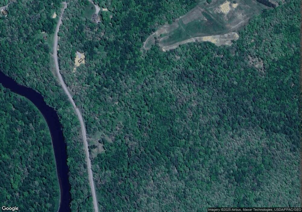
Map
Nearby Homes
- 62 Crosby Dr
- 0 Crosby Dr Unit 64/65
- 0 Sam Snead Cir Unit 1 MDGA2010358
- 13209 Garrett Hwy
- 3.35 acres </> 4th St
- 163 Crestview Dr
- 11 Sunset Dr
- 163 Mitchell Dr
- 0 N Hammond St
- 315 Coolidge Ave
- 111 Knoll Crest Heights Dr
- 0 8th & Dennett Road St Unit MDGA2009886
- 511 E Green St
- 0 Memorial Dr Unit MDGA2010668
- 503 E Alder St
- 1 Lowes Dr
- 611 E Oak St
- 0 Oakland Sang Run Rd Unit MDGA2009116
- 5202 Hutton Rd
- 1056 Sunrise Dr
- 152 Oakland Sang Run Rd
- 7 Robinwood Dr
- 72 Robinwood Dr
- 218 Robinwood Dr
- 20 Robinwood Dr
- 251 Robinwood Dr
- 17 Robinwood Dr
- 277 Robinwood Dr
- 99 Robinwood Dr
- 8760 Oakland Sang Run Rd
- 41 Robinwood Dr
- 0 Oakland Sang Run Rd 1 08 Acres
- 43 Robinwood Dr
- 45 Robinwood Dr
- Map 65 Parcel 395 Oakland Sang Run Rd
- 442 Oakland Sang Run Rd
- 616 Crosby Dr
- 614 Nicklaus Ave
- 615 Nicklaus Ave
- 612 Nicklaus Ave