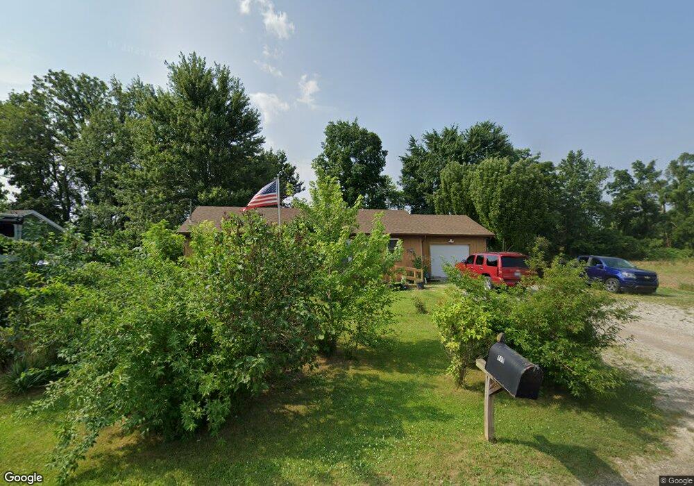
183 9th St Britton, MI 49229
Estimated Value: $177,773 - $201,000
3
Beds
2
Baths
1,008
Sq Ft
$190/Sq Ft
Est. Value
About This Home
This home is located at 183 9th St, Britton, MI 49229 and is currently estimated at $191,193, approximately $189 per square foot. 183 9th St is a home located in Lenawee County with nearby schools including Britton-Macon Area School.
Ownership History
Date
Name
Owned For
Owner Type
Purchase Details
Closed on
Aug 3, 2020
Sold by
Brockman Linda R
Bought by
Brockman Larry E and Brockman Lewis W
Current Estimated Value
Purchase Details
Closed on
Jan 21, 2005
Sold by
Brockman Larry T
Bought by
Brockman Larry E and Brockman Linda R
Home Financials for this Owner
Home Financials are based on the most recent Mortgage that was taken out on this home.
Original Mortgage
$108,750
Interest Rate
5.83%
Mortgage Type
Credit Line Revolving
Create a Home Valuation Report for This Property
The Home Valuation Report is an in-depth analysis detailing your home's value as well as a comparison with similar homes in the area
Purchase History
| Date | Buyer | Sale Price | Title Company |
|---|---|---|---|
| Brockman Larry E | -- | Fidelity National Title (Aka | |
| Brockman Larry E | -- | None Available |
Source: Public Records
Mortgage History
| Date | Status | Borrower | Loan Amount |
|---|---|---|---|
| Previous Owner | Brockman Larry E | $108,750 |
Source: Public Records
Tax History
| Year | Tax Paid | Tax Assessment Tax Assessment Total Assessment is a certain percentage of the fair market value that is determined by local assessors to be the total taxable value of land and additions on the property. | Land | Improvement |
|---|---|---|---|---|
| 2025 | $1,528 | $68,600 | $0 | $0 |
| 2024 | $11 | $70,100 | $0 | $0 |
| 2022 | $1,012 | $55,600 | $0 | $0 |
| 2021 | $1,778 | $53,200 | $0 | $0 |
| 2020 | $1,767 | $50,400 | $0 | $0 |
| 2019 | $121,202 | $42,600 | $0 | $0 |
| 2018 | $1,725 | $42,648 | $0 | $0 |
| 2017 | $1,655 | $41,491 | $0 | $0 |
| 2016 | $1,548 | $40,567 | $0 | $0 |
| 2014 | -- | $41,416 | $0 | $0 |
Source: Public Records
Map
Nearby Homes
- 379 N Main St
- 306 N Main St
- 163 Rose St
- 231 S Main St
- 260 S Main St
- 448 E Chicago Blvd
- 8745 E Monroe Rd
- 9378 Smith Rd
- 1 Shaw Hwy
- 9393 Mills MacOn Hwy
- 6768 Shull Rd
- 7484 Billmyer Hwy
- 6111 Billmyer Hwy
- 5517 Billmyer Hwy
- 1066 Preservation Dr
- 799 War Bonnet Dr
- 1036 Preservation Dr
- Parcel B Fieldstone Dr
- 6584 Holloway Rd
- 809 Blood Rd
- 177 9th St
- 165 9th St
- 159 9th St
- 153 9th St
- 182 9th St Unit 9th
- 182 9th St
- 174 9th St
- 149 9th St
- 162 9th St
- 152 9th St
- 431 N Main St
- 465 N Main St
- 419 N Main St
- 434 N Main St
- 469 N Main St
- 0 Ninth St Unit and Tenth St 4007920
- 0 Ninth St Unit and Tenth St 92218
- 475 N Main St
- 155 10th St
- 453 N Main St
Your Personal Tour Guide
Ask me questions while you tour the home.