183 Brayton Point Rd Westport, MA 02790
Acoaxet NeighborhoodEstimated Value: $1,614,000 - $2,549,000
3
Beds
--
Bath
3,767
Sq Ft
$537/Sq Ft
Est. Value
About This Home
This home is located at 183 Brayton Point Rd, Westport, MA 02790 and is currently estimated at $2,021,630, approximately $536 per square foot. 183 Brayton Point Rd is a home located in Bristol County with nearby schools including Alice A. Macomber Primary School, Westport Elementary School, and Westport Middle-High School.
Ownership History
Date
Name
Owned For
Owner Type
Purchase Details
Closed on
Jan 23, 2015
Sold by
Bok Alexander T
Bought by
Bok Gaye L and Bok Alexander T
Current Estimated Value
Home Financials for this Owner
Home Financials are based on the most recent Mortgage that was taken out on this home.
Original Mortgage
$400,000
Outstanding Balance
$307,734
Interest Rate
3.96%
Mortgage Type
New Conventional
Estimated Equity
$1,713,896
Purchase Details
Closed on
Dec 20, 2012
Sold by
Bok John F and Bok Joan T
Bought by
Bok Alexander T
Purchase Details
Closed on
Dec 8, 1965
Bought by
Bok Gaye L and Bok Alexander T
Create a Home Valuation Report for This Property
The Home Valuation Report is an in-depth analysis detailing your home's value as well as a comparison with similar homes in the area
Home Values in the Area
Average Home Value in this Area
Purchase History
| Date | Buyer | Sale Price | Title Company |
|---|---|---|---|
| Bok Gaye L | -- | -- | |
| Bok Alexander T | -- | -- | |
| Bok Gaye L | -- | -- |
Source: Public Records
Mortgage History
| Date | Status | Borrower | Loan Amount |
|---|---|---|---|
| Open | Bok Gaye L | $400,000 |
Source: Public Records
Tax History Compared to Growth
Tax History
| Year | Tax Paid | Tax Assessment Tax Assessment Total Assessment is a certain percentage of the fair market value that is determined by local assessors to be the total taxable value of land and additions on the property. | Land | Improvement |
|---|---|---|---|---|
| 2025 | $11,352 | $1,523,700 | $934,100 | $589,600 |
| 2024 | $11,222 | $1,451,800 | $870,500 | $581,300 |
| 2023 | $11,165 | $1,368,300 | $832,300 | $536,000 |
| 2022 | $9,348 | $1,153,700 | $832,300 | $321,400 |
| 2021 | $9,348 | $1,084,400 | $763,000 | $321,400 |
| 2020 | $8,907 | $1,056,600 | $735,200 | $321,400 |
| 2019 | $8,569 | $1,036,100 | $735,200 | $300,900 |
| 2018 | $8,279 | $1,013,300 | $765,300 | $248,000 |
| 2017 | $7,611 | $955,000 | $759,800 | $195,200 |
| 2016 | $7,371 | $931,800 | $759,800 | $172,000 |
| 2015 | $6,392 | $806,100 | $637,800 | $168,300 |
Source: Public Records
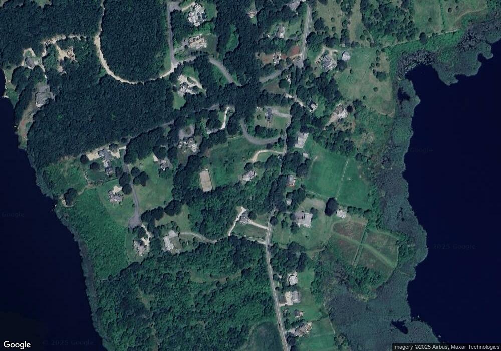
Map
Nearby Homes
- 189 Brayton Point Rd
- 304 Brayton Point Rd
- 19 Seabury Ln
- 255 John Dyer Rd
- 18 Old Barn Rd
- 128 Maple Ave
- 141 S Of Commons Rd
- 505 Long Hwy
- 245 John Dyer Rd
- 1881 Main Rd
- 1749 Main Rd
- 0 Willow Ave
- 1580 Main Rd
- 1702J Drift Rd
- 1702 Drift Rd
- 116 Amy Hart Path
- 576 W Main Rd
- 17 Quail Trail
- 536 W Main Rd
- 1346 Main Rd Unit B
- 186 Brayton Point Rd
- 205 Brayton Point Rd
- 190 Brayton Point Rd
- 1 Ellsworth Dr
- 180 Brayton Point Rd
- 194 Brayton Point Rd
- 5 Ellsworth Dr
- 11 Ellsworth Dr
- 22 Ellsworth
- 150 Brayton Point Rd
- 11 Ellsworth Dr
- 153 Brayton Point Rd
- 21 Brayton Point Rd
- 6 Hawks Nest Ridge
- 154 Brayton Point Rd
- 192 Brayton Point Rd
- 145 Brayton Point Rd
- 263 Brayton Pt Rd
- 222 Brayton Point Rd
- 146 Brayton Point Rd