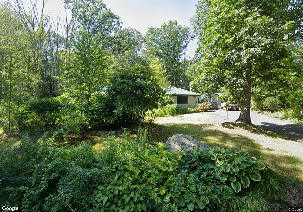
183 Brixham Rd Eliot, ME 03903
East Eliot NeighborhoodEstimated Value: $622,861 - $872,000
2
Beds
1
Bath
3,632
Sq Ft
$193/Sq Ft
Est. Value
About This Home
This home is located at 183 Brixham Rd, Eliot, ME 03903 and is currently estimated at $700,465, approximately $192 per square foot. 183 Brixham Rd is a home located in York County with nearby schools including Marshwood High School and Seacoast Waldorf School.
Ownership History
Date
Name
Owned For
Owner Type
Purchase Details
Closed on
Apr 6, 2009
Sold by
Ministri Lissa K
Bought by
Crichton Lissa K
Current Estimated Value
Purchase Details
Closed on
Apr 1, 2008
Sold by
Whiting Grant Kristen N and Whiting Grant John A
Bought by
Ministri Lissa
Home Financials for this Owner
Home Financials are based on the most recent Mortgage that was taken out on this home.
Original Mortgage
$202,000
Interest Rate
5.76%
Mortgage Type
Unknown
Create a Home Valuation Report for This Property
The Home Valuation Report is an in-depth analysis detailing your home's value as well as a comparison with similar homes in the area
Home Values in the Area
Average Home Value in this Area
Purchase History
| Date | Buyer | Sale Price | Title Company |
|---|---|---|---|
| Crichton Lissa K | -- | -- | |
| Ministri Lissa | -- | -- |
Source: Public Records
Mortgage History
| Date | Status | Borrower | Loan Amount |
|---|---|---|---|
| Previous Owner | Ministri Lissa | $202,000 |
Source: Public Records
Tax History
| Year | Tax Paid | Tax Assessment Tax Assessment Total Assessment is a certain percentage of the fair market value that is determined by local assessors to be the total taxable value of land and additions on the property. | Land | Improvement |
|---|---|---|---|---|
| 2024 | $6,117 | $516,200 | $147,400 | $368,800 |
| 2023 | $5,929 | $484,000 | $140,400 | $343,600 |
| 2022 | $5,551 | $458,800 | $140,400 | $318,400 |
| 2021 | $5,217 | $410,200 | $117,500 | $292,700 |
| 2020 | $2,652 | $365,600 | $112,100 | $253,500 |
| 2019 | $5,374 | $365,600 | $112,100 | $253,500 |
| 2018 | $5,374 | $365,600 | $112,100 | $253,500 |
| 2017 | $2,318 | $365,600 | $112,100 | $253,500 |
| 2016 | $5,137 | $365,600 | $112,100 | $253,500 |
| 2015 | $4,638 | $331,300 | $112,100 | $219,200 |
| 2014 | $3,674 | $266,200 | $112,100 | $154,100 |
| 2013 | $3,506 | $266,200 | $112,100 | $154,100 |
Source: Public Records
Map
Nearby Homes
- Lot 4 Stonecrop Farm Ln
- Lot 1 Brixham (Stonecrop Farm Lot 1) Rd
- 25 Heritage Dr
- 10 Pasture Hill Dr
- Lot 2 Cedar Tbd
- 4 Bhoireann Ln
- 3 Bhoireann Ln
- 116 Heron Cove Rd
- 1708 State Rd
- 0 Lindsay Ln
- 708 River Rd Unit 2
- 708 River Rd Unit 3
- 6 Isaac Lucas Cir
- 16 Witchtrot Rd
- 25 Fosters Dr
- 62 Village Dr Unit 62
- 45 Scotland Bridge Rd
- 1 Independence Dr
- 38 Wisteria Dr
- 72 Vine St
- 183 Brixham Rd Unit A
- 187 Brixham Rd
- 192 Brixham Rd
- 177 Brixham Rd
- 195 Brixham Rd
- 200 Brixham Rd
- 170 Brixham Rd
- 165 Brixham Rd
- 206 Brixham Rd
- 191 Brixham Rd
- 159 Brixham Rd
- 153 Brixham Rd
- 212 Brixham Rd
- 00 Bartlett Ln
- 151 Brixham Rd
- 204 Brixham Rd
- 8 Bartlett Ln
- 217 Brixham Rd
- 38 Johnson Ln
- 147 Brixham Rd
Your Personal Tour Guide
Ask me questions while you tour the home.