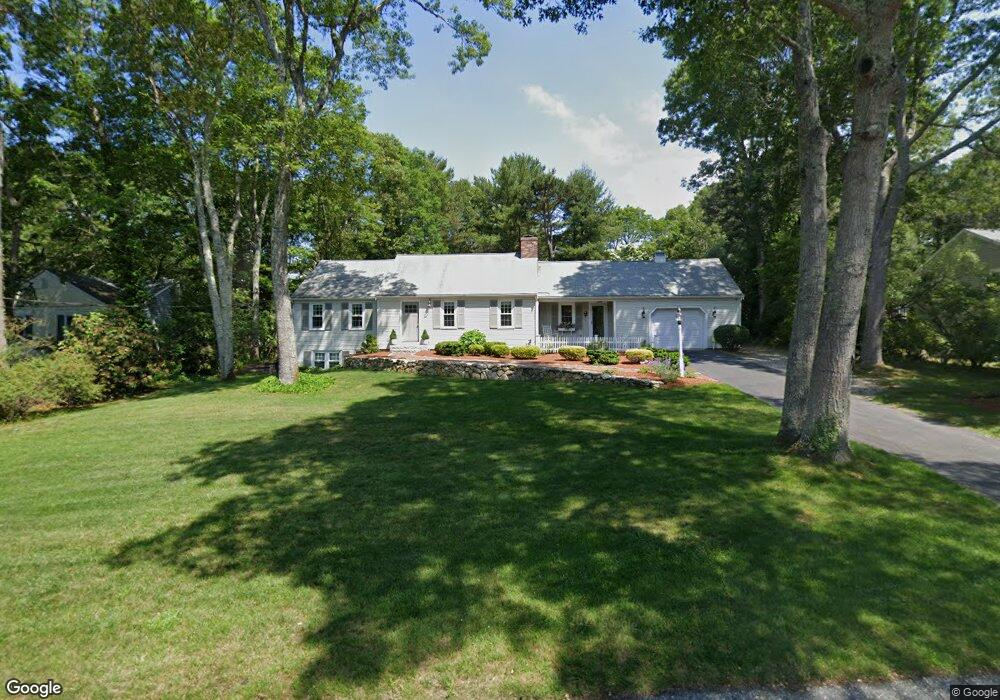
183 Capn Crosby Rd Centerville, MA 02632
Centerville NeighborhoodEstimated Value: $643,000 - $726,000
2
Beds
2
Baths
1,630
Sq Ft
$410/Sq Ft
Est. Value
About This Home
This home is located at 183 Capn Crosby Rd, Centerville, MA 02632 and is currently estimated at $668,313, approximately $410 per square foot. 183 Capn Crosby Rd is a home located in Barnstable County with nearby schools including Barnstable United Elementary School, Centerville Elementary School, and Barnstable Intermediate School.
Ownership History
Date
Name
Owned For
Owner Type
Purchase Details
Closed on
Jun 30, 1994
Sold by
Lott James S and Lott Patricia C
Bought by
Foerster Gail E
Current Estimated Value
Home Financials for this Owner
Home Financials are based on the most recent Mortgage that was taken out on this home.
Original Mortgage
$35,000
Interest Rate
8.55%
Mortgage Type
Purchase Money Mortgage
Create a Home Valuation Report for This Property
The Home Valuation Report is an in-depth analysis detailing your home's value as well as a comparison with similar homes in the area
Home Values in the Area
Average Home Value in this Area
Purchase History
| Date | Buyer | Sale Price | Title Company |
|---|---|---|---|
| Foerster Gail E | $125,000 | -- |
Source: Public Records
Mortgage History
| Date | Status | Borrower | Loan Amount |
|---|---|---|---|
| Closed | Foerster Gail E | $35,000 |
Source: Public Records
Tax History
| Year | Tax Paid | Tax Assessment Tax Assessment Total Assessment is a certain percentage of the fair market value that is determined by local assessors to be the total taxable value of land and additions on the property. | Land | Improvement |
|---|---|---|---|---|
| 2025 | $4,785 | $591,500 | $152,200 | $439,300 |
| 2024 | $4,548 | $582,300 | $152,200 | $430,100 |
| 2023 | $4,245 | $509,000 | $138,400 | $370,600 |
| 2022 | $4,113 | $426,700 | $102,500 | $324,200 |
| 2021 | $3,879 | $369,800 | $102,500 | $267,300 |
| 2020 | $3,791 | $345,900 | $102,500 | $243,400 |
| 2019 | $3,566 | $316,100 | $102,500 | $213,600 |
| 2018 | $3,228 | $287,700 | $107,900 | $179,800 |
| 2017 | $3,004 | $279,200 | $107,900 | $171,300 |
| 2016 | $3,052 | $280,000 | $108,700 | $171,300 |
| 2015 | $2,907 | $267,900 | $105,400 | $162,500 |
Source: Public Records
Map
Nearby Homes
- 324 Patriot Way
- 900 Old Stage Rd
- 66 Tern Ln
- 73 Tern Ln
- 29 Appaloosa Way
- 74 Saddler Ln
- 296 Buckskin Path
- 87 Foxglove Rd
- 169 Cedric Rd
- 315 Prince Hinckley Rd
- 350 Plum St
- 1115 Shootflying Hill Rd
- 367 Plum St
- 97 Yacht Club Rd
- 282 Parker Rd
- 82 Yacht Club Rd
- 352 Nye Rd
- 159 Willow Run Dr
- 80 Branch Terrace
- 5 Chickadee Ln
- 195 Capn Crosby Rd
- 171 Capn Crosby Rd
- 19 Longboat Dr
- 27 Longboat Dr
- 184 Capn Crosby Rd
- 255 Cap'N Crosby Rd
- 18 Cap'N Crosby Rd
- 11 Longboat Dr
- 201 Capn Crosby Rd
- 37 Longboat Dr
- 161 Capn Crosby Rd
- 196 Capn Crosby Rd
- 176 Capn Crosby Rd
- 160 Capn Crosby Rd
- 204 Captain Crosby Rd
- 204 Capn Crosby Rd
- 204 Cap'N Crosby Rd
- 153 Capn Crosby Rd
- 308 Patriot Way
- 308 Patriot Way Unit Spacious Studio Apar
Your Personal Tour Guide
Ask me questions while you tour the home.